Category: Infrastructure
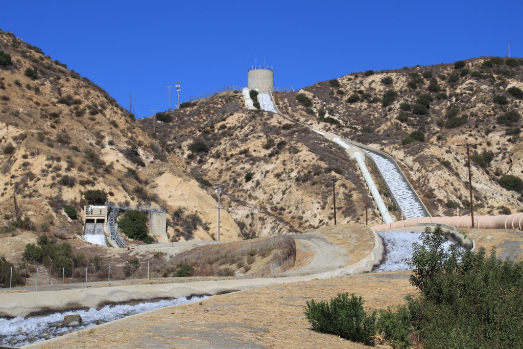
The LA Aqueduct Cascades: A rare opportunity to step inside the facility

Morris Dam: Flood control and stormwater capture for Los Angeles County
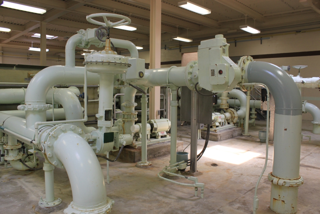
The drinking water infrastructure under our feet
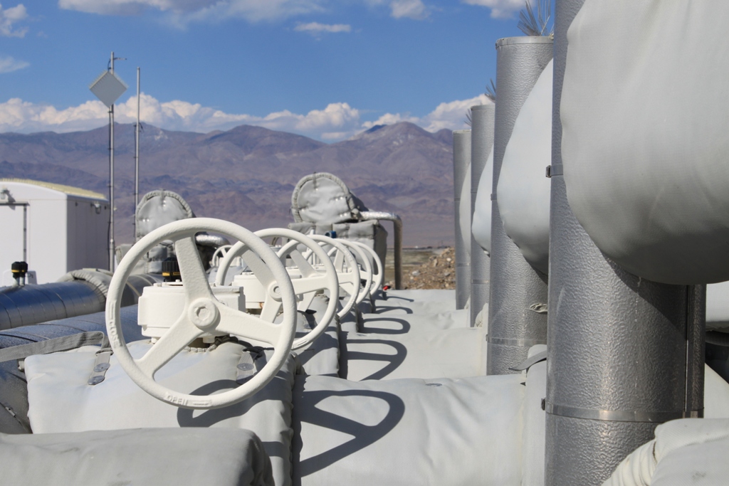
Owens Lake infrastructure: One last look
The San Francisco Oakland-Bay Bridge: The new and the old – but mostly the old …
Back last December, while traveling up north, I had the chance to spend the weekend with my sister who lives in Berkeley. At the time, the north state was getting hit pretty hard by one of those ‘pineapple expresses’ as some call it (atmospheric river storms, if you’re a water geek like me). There was…
Traveling the Petroleum Highway through the oil fields of Kern County
I have been doing a lot of traveling lately, and I’m way behind on posting my photographs, but yesterday I drove through the oil fields of Kern County on Highway 33, also known as the Petroleum Highway, and I really wanted to share these pictures first. This picture is from when we had driven through…
The Los Angeles Aqueduct Intake
Sorry I haven’t posted for awhile. It’s not for lack of photos – I’m actually several trips behind and I embark on another journey on Tuesday to Monterey, sure to be another treasure trove of photos. I’ve just been so very busy and there are other things I should be doing right now, but I’m…
More from Owens Lake
I’m up in the Eastern Sierra today, finishing up photography for my upcoming presentation on the Owens Lake dust control project. Yesterday was about checking out the birds at the lake; I had the pleasure of being taken on a tour by Michael Prather of the Eastern Sierra Audubon Society. (You can find pictures from…
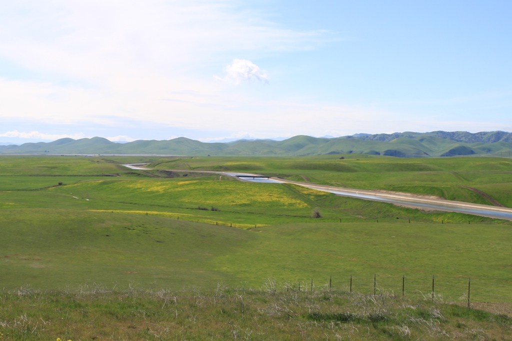
Southern California’s first water project: The Los Angeles Aqueduct
The Los Angeles Aqueduct Cascades facility in Sylmar is the dramatic entrance of Owens Valley water into the Los Angeles area and anyone traveling up the I-5 through Newhall pass can’t miss it. This water has traveled as much as 400 miles and has taken as long as three months to get here. I’ve traveled…