I have traveled through California’s San Joaquin Valley (also known as the Central Valley) a number of times, once on an organized tour but mostly on my own. I find agricultural landscapes interesting, plus I am interested in seeing where my food comes from.
So here is a collection of my best pictures of agriculture in the Central Valley. (Home page readers, click on the link below to see the rest of the pictures.)
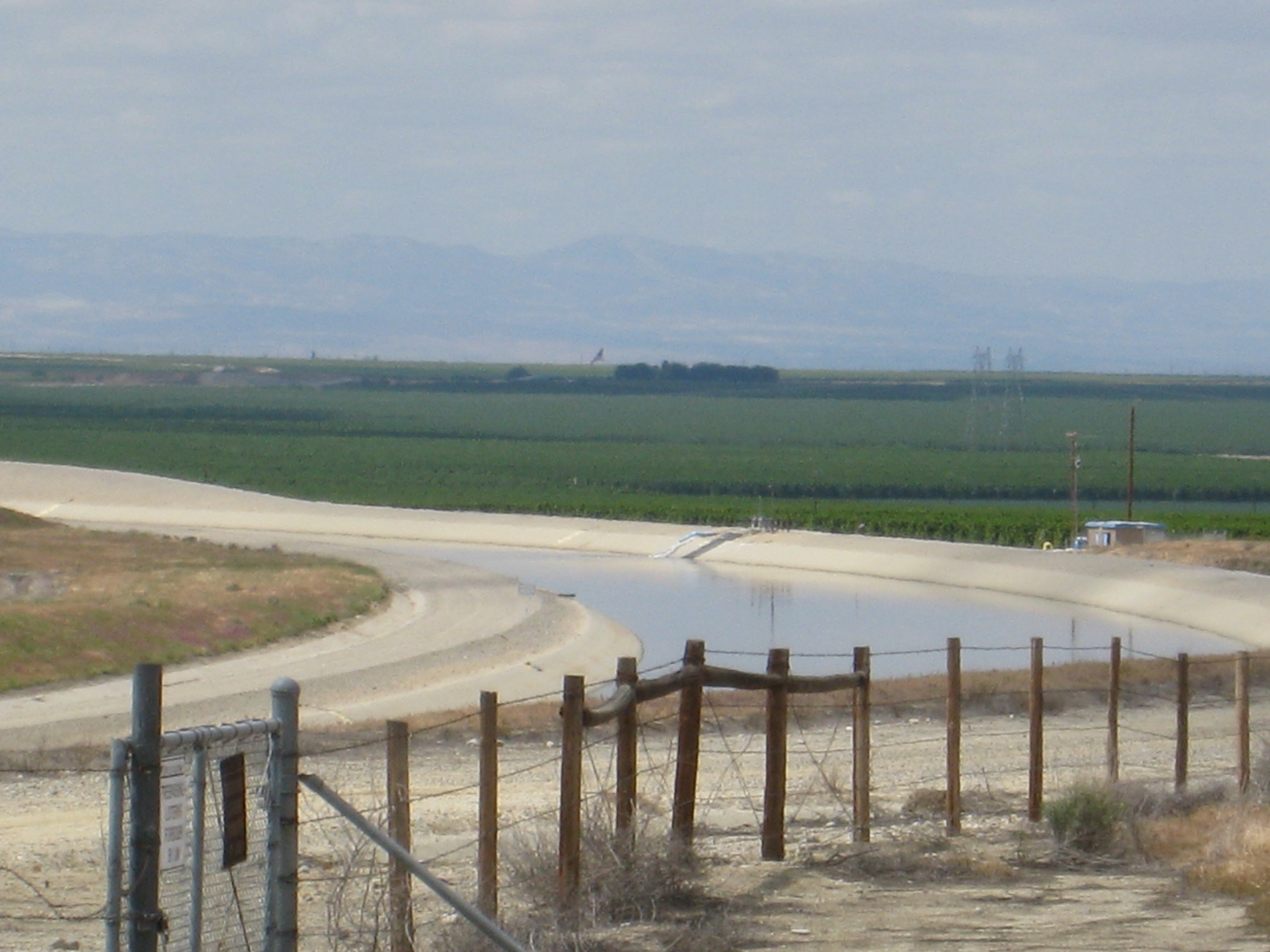 Most of my time and therefore most of my pictures are from the southern portion of the San Joaquin Valley.
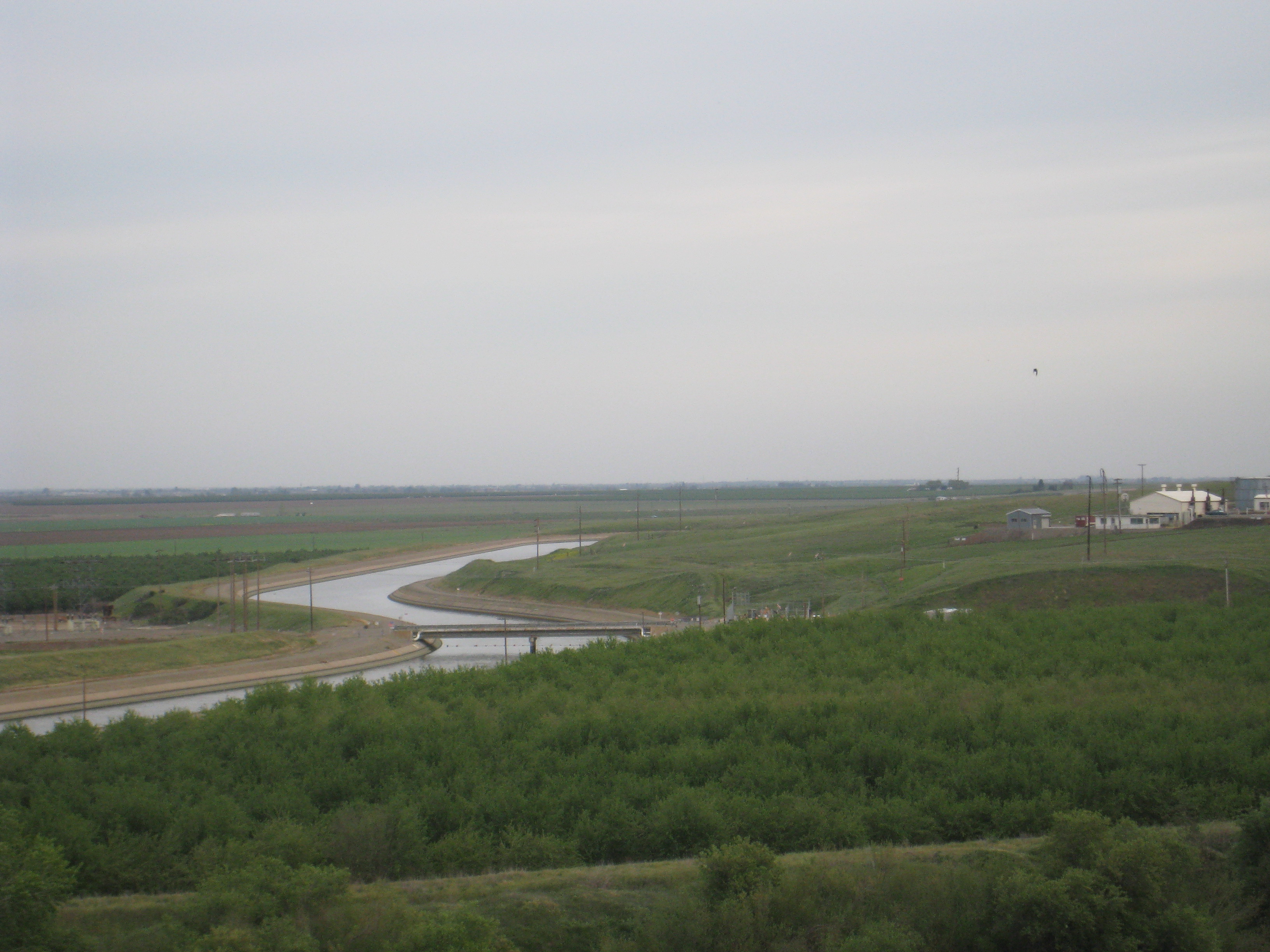 The California Aqueduct travels down the western side of the Central Valley, delivering water to Kern County on its way to Southern California.
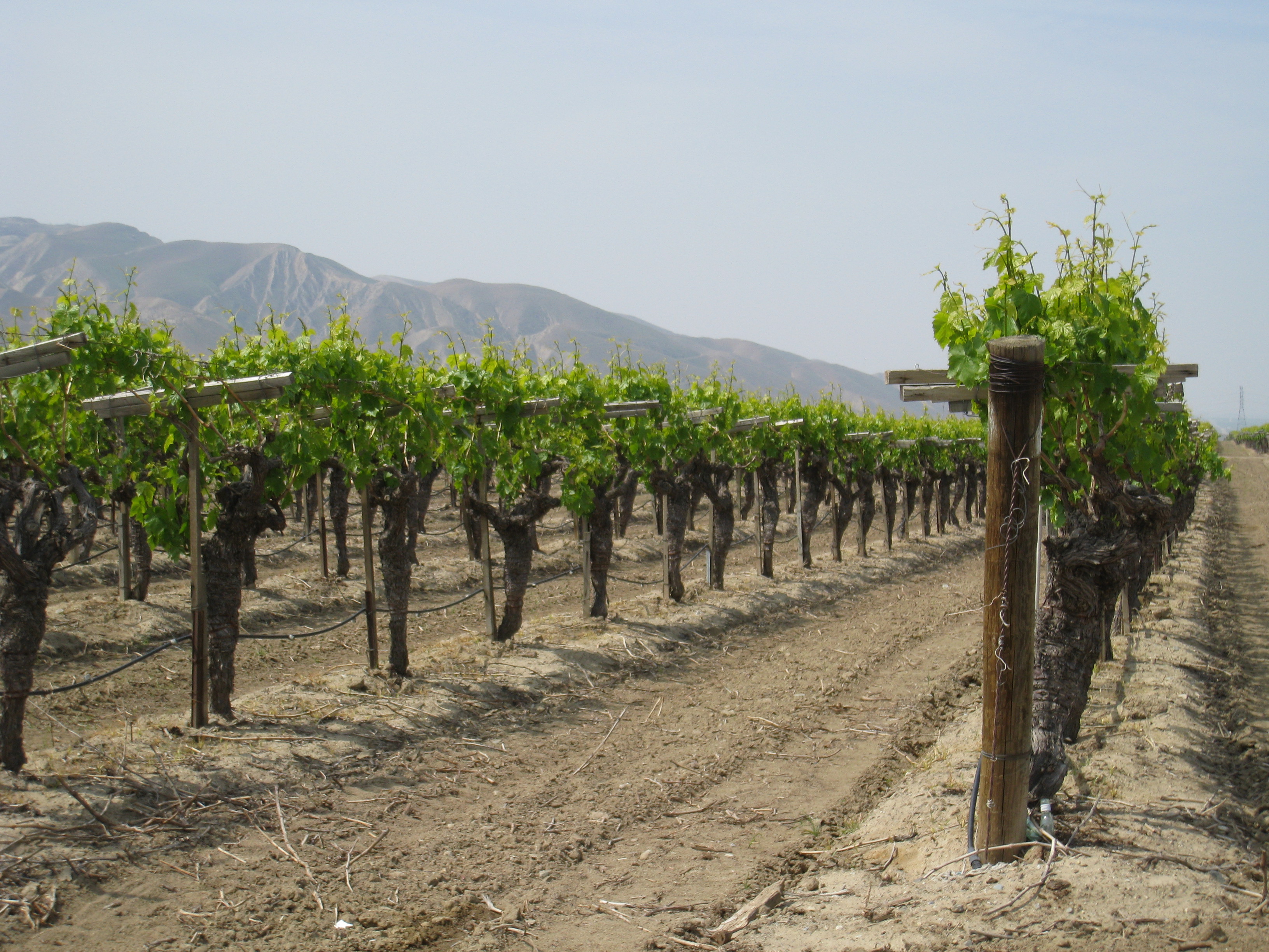 There are a lot of grapevines in the Central Valley….
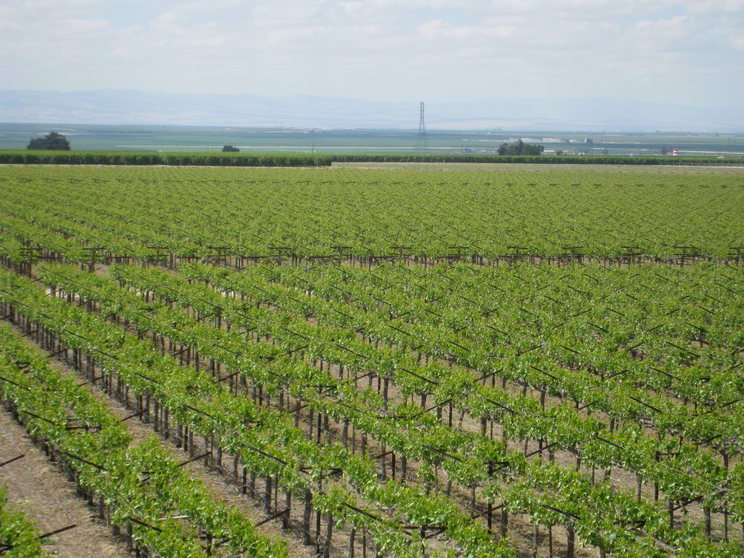 Lots of grapevines … I remember someone on the tour saying that a lot of grapes for California wine are grown in the Central Valley, the Napa Valley being just the ‘windowdressing’ for the California wine industry.
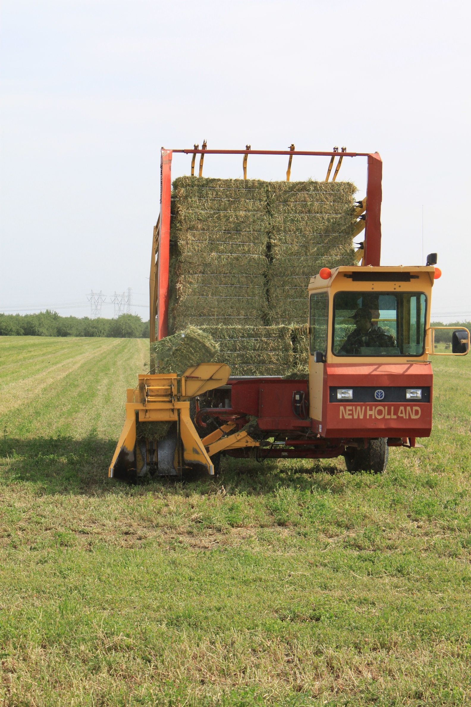
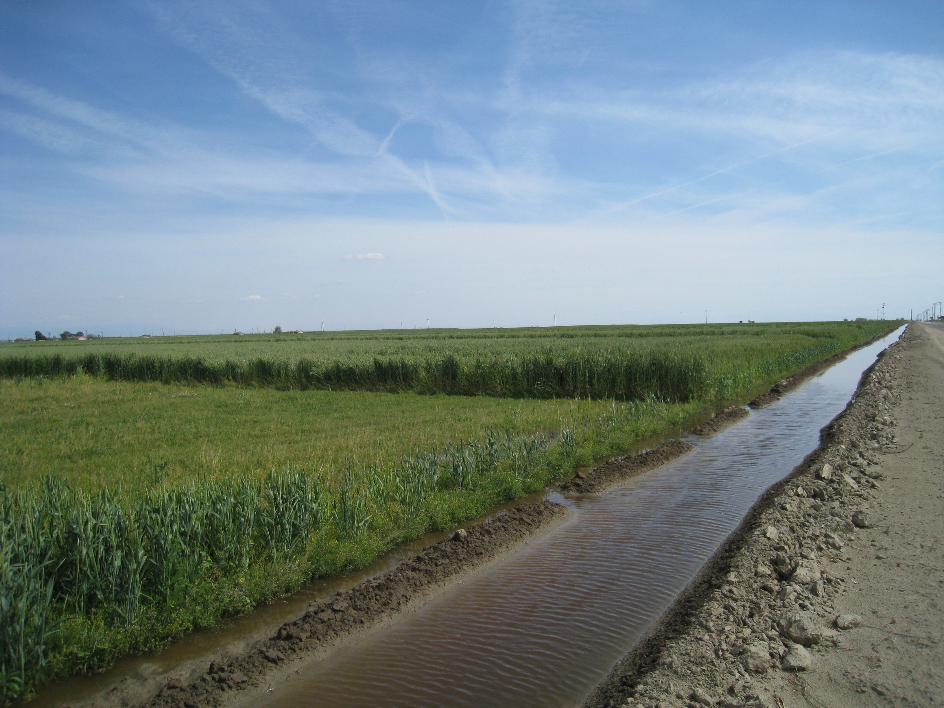 There’s also a lot of alfalfa and other forage crops grown here.
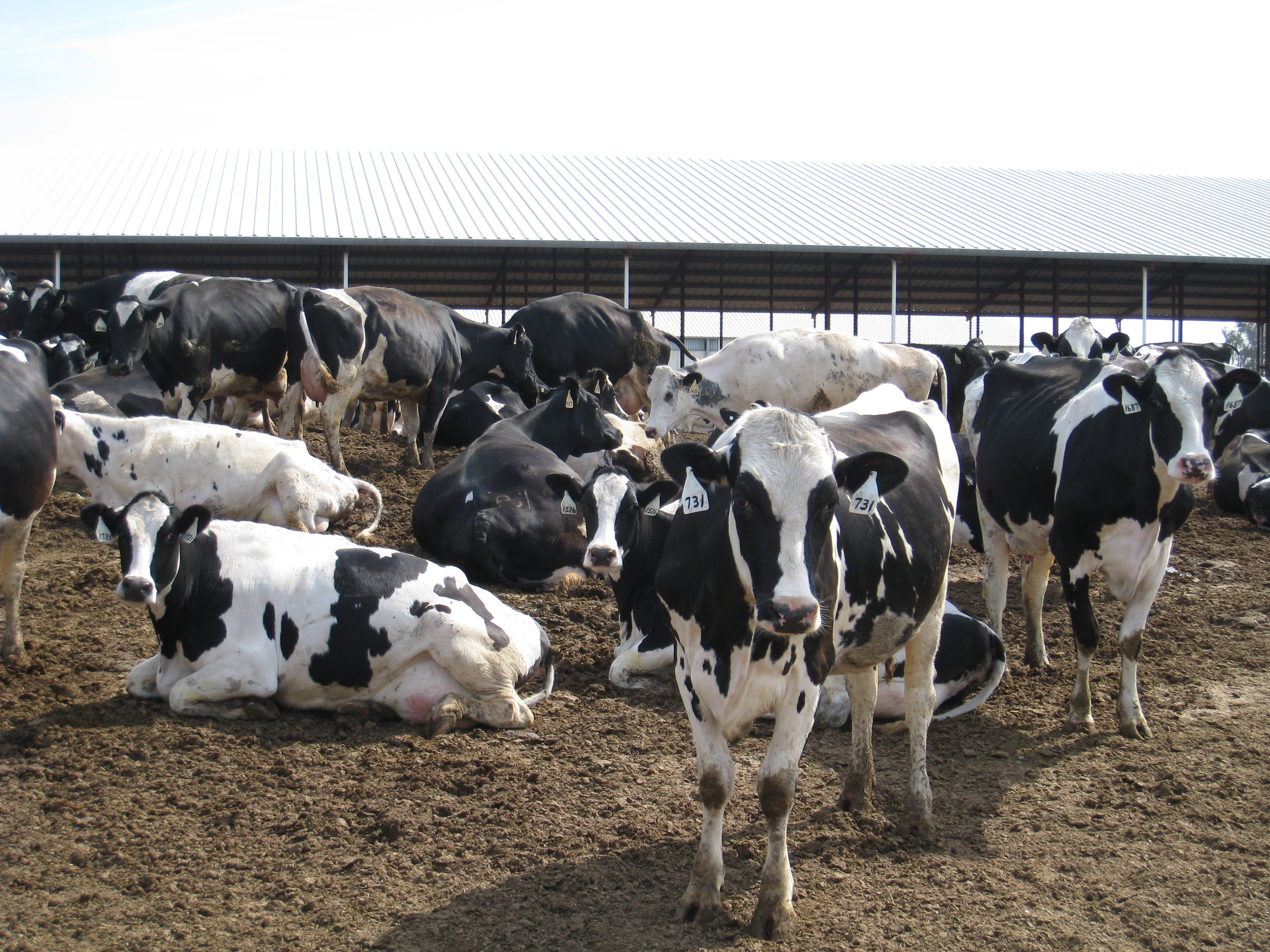 Much of it is forage for the many dairy cows in residence throughout the valley. The Central Valley is the nation’s largest dairy producing area, and is also home to the world’s largest ice cream plant.
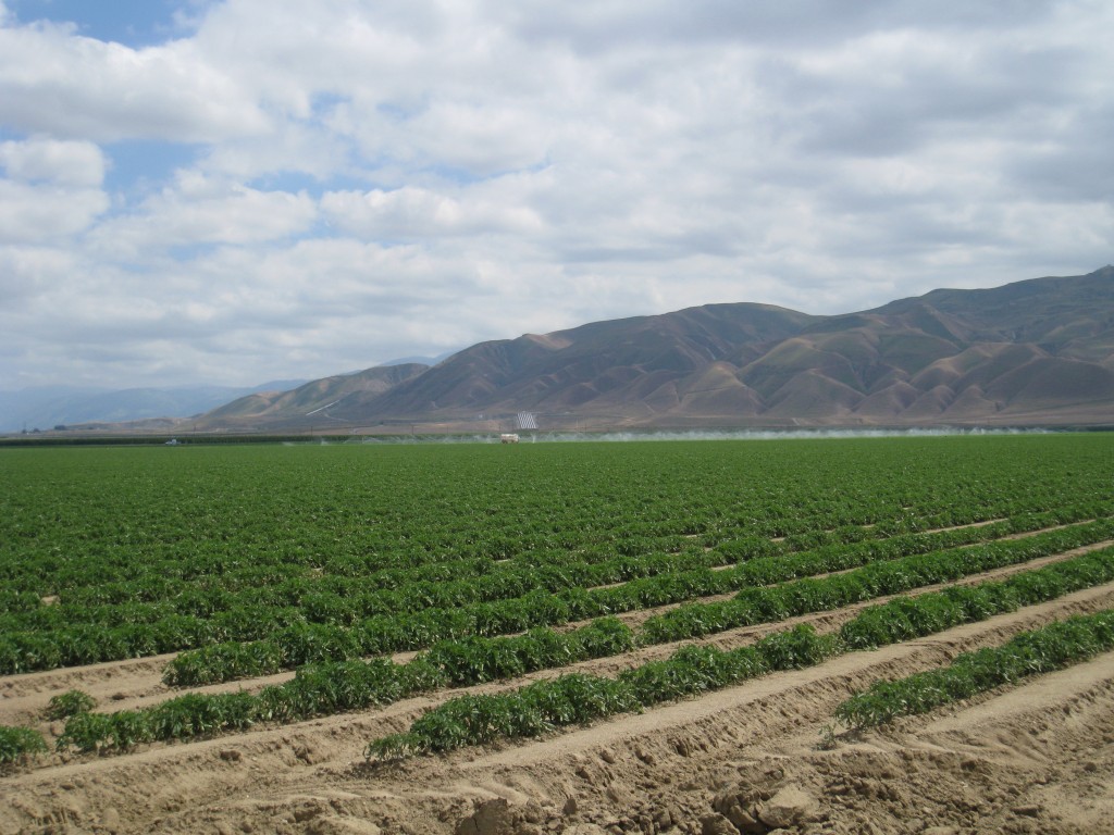 I think this might be a field of melons.
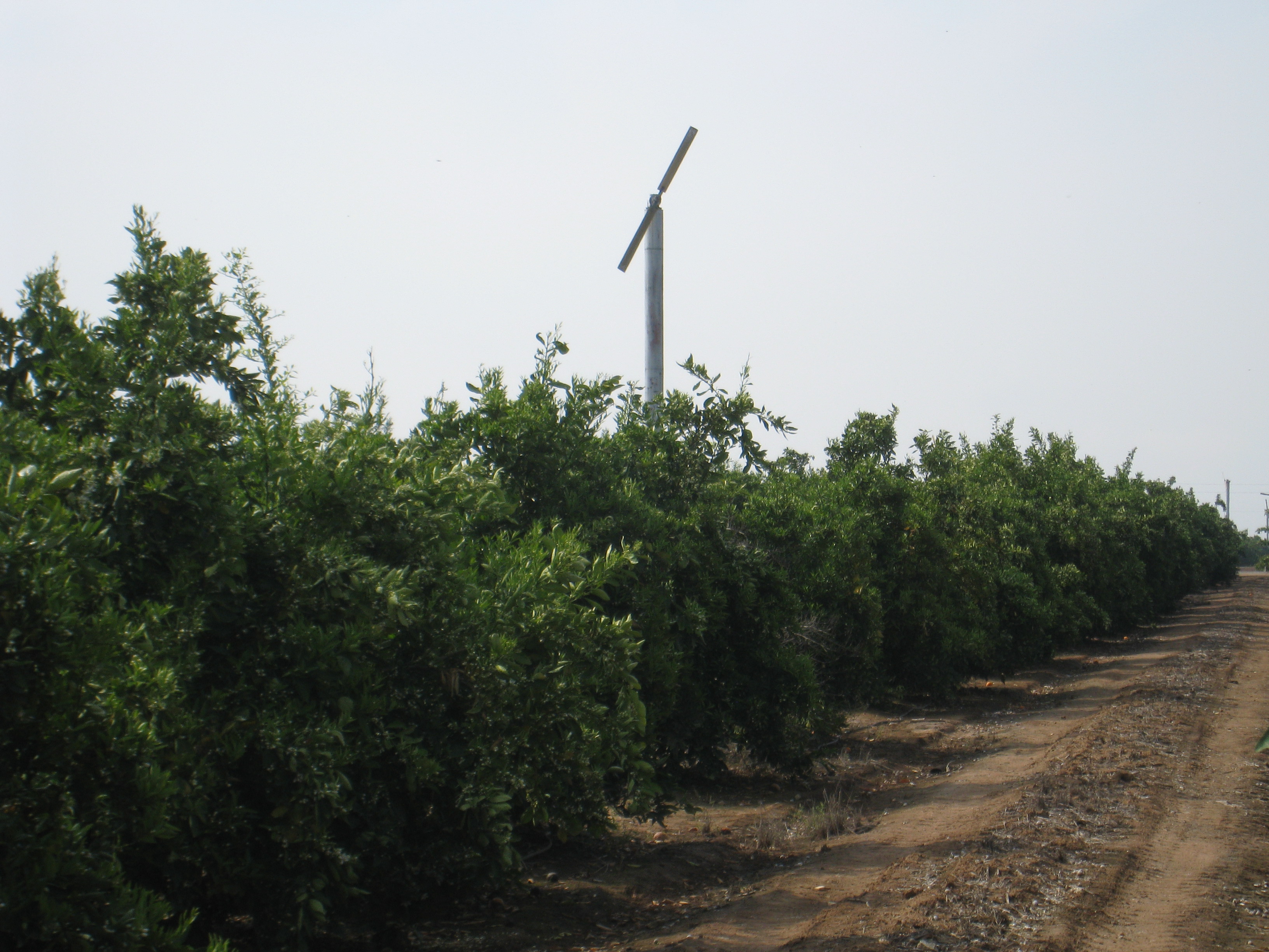 This is an orange grove over near Visalia.
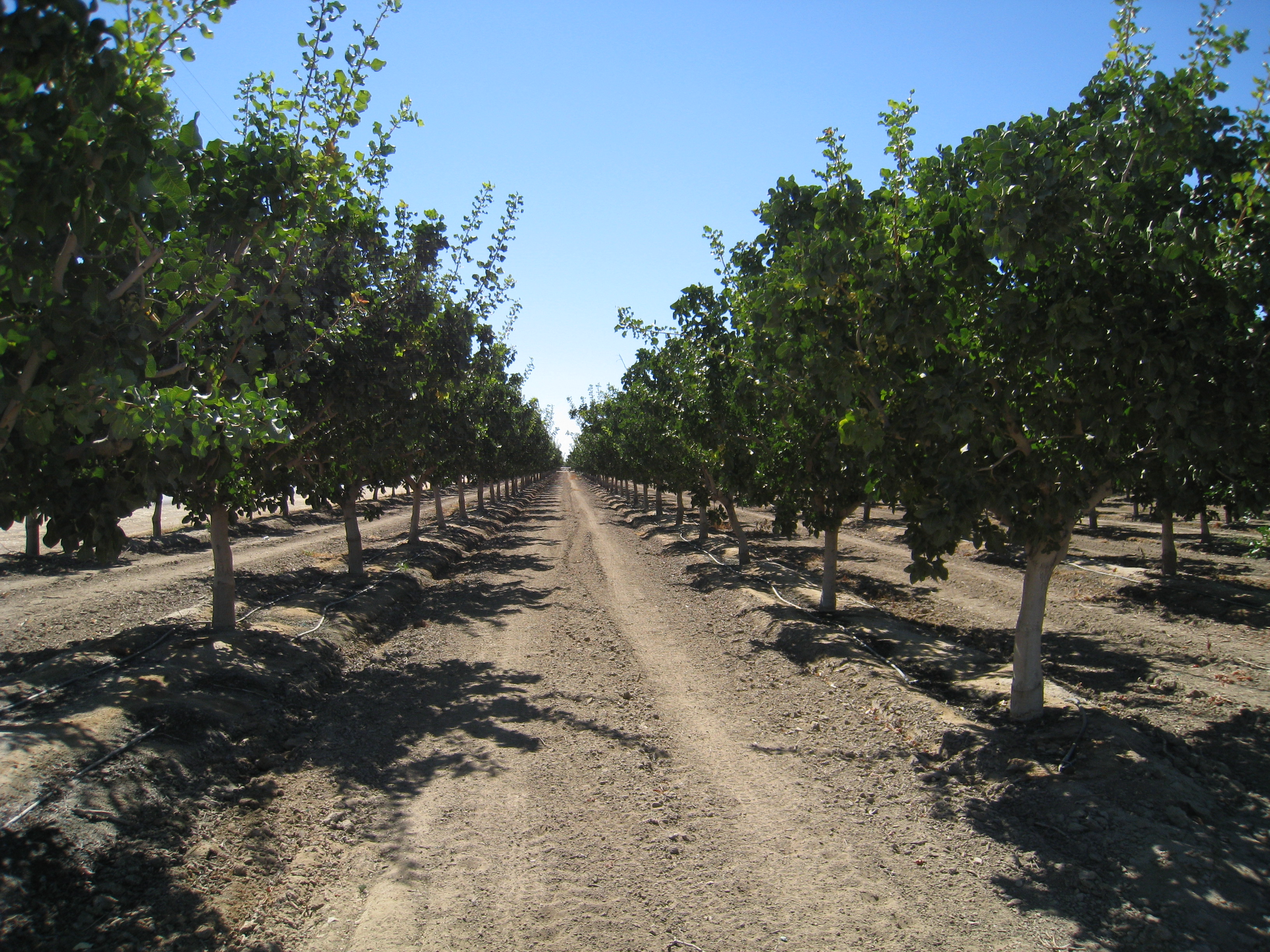 The Central Valley is the largest almond producing area in the world.
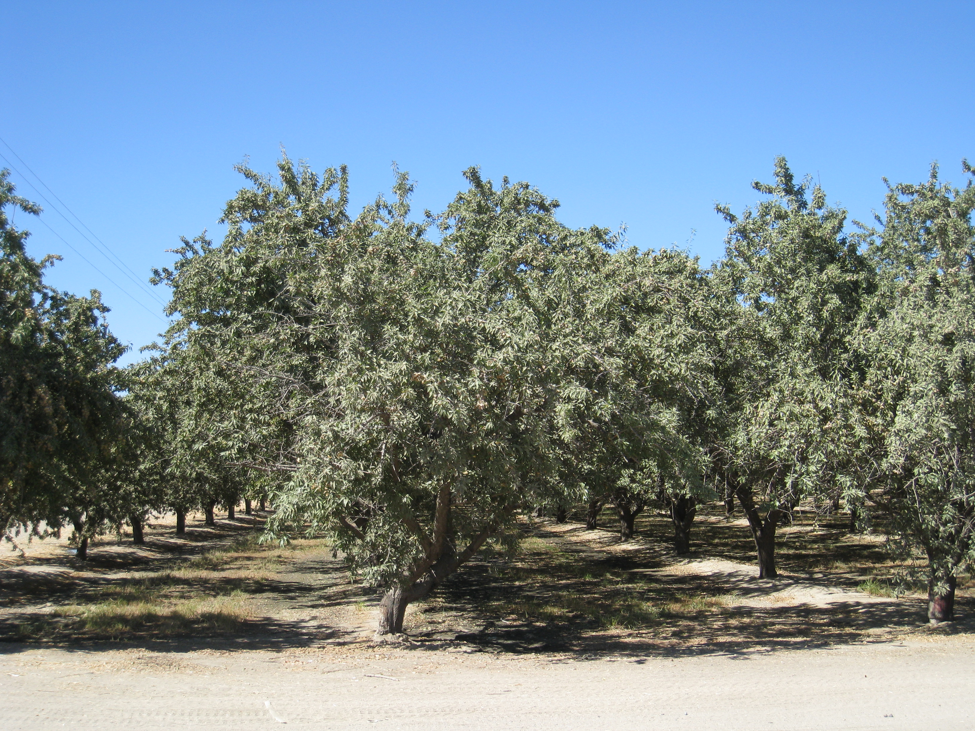 Here’s an almond orchard dried up (this picture was taken in 2008), but no worries …
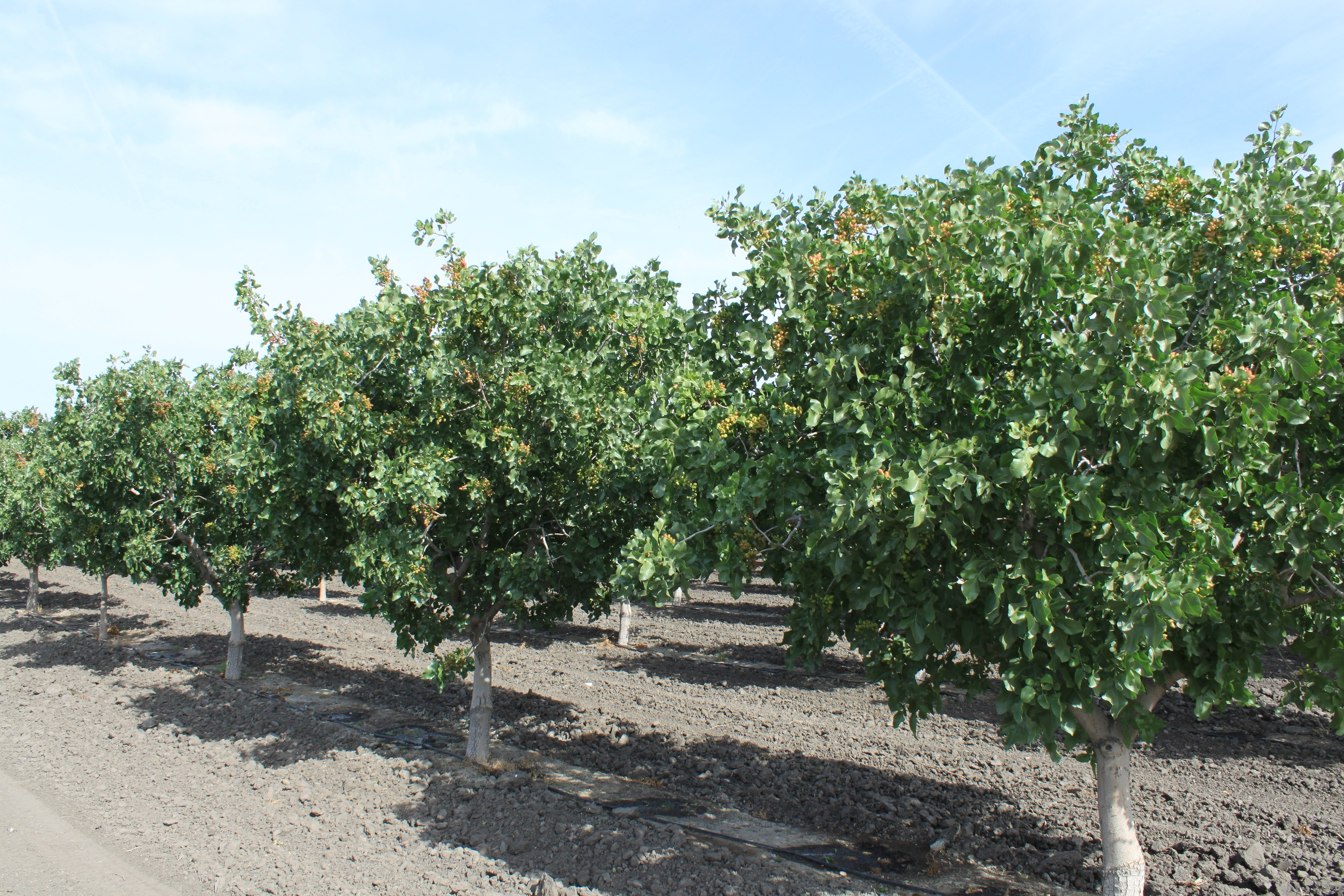
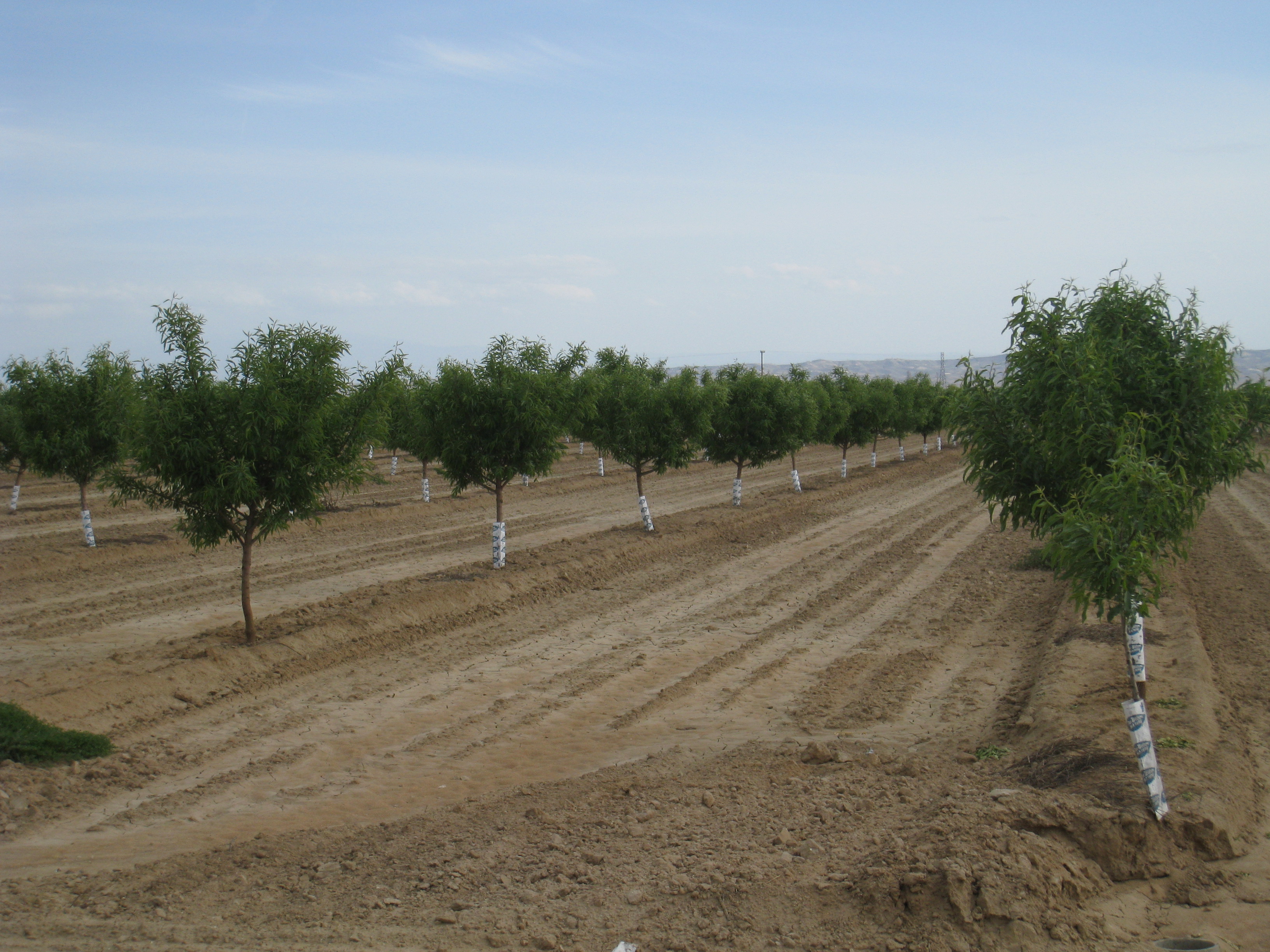 There were plenty of other trees waiting to take their place.
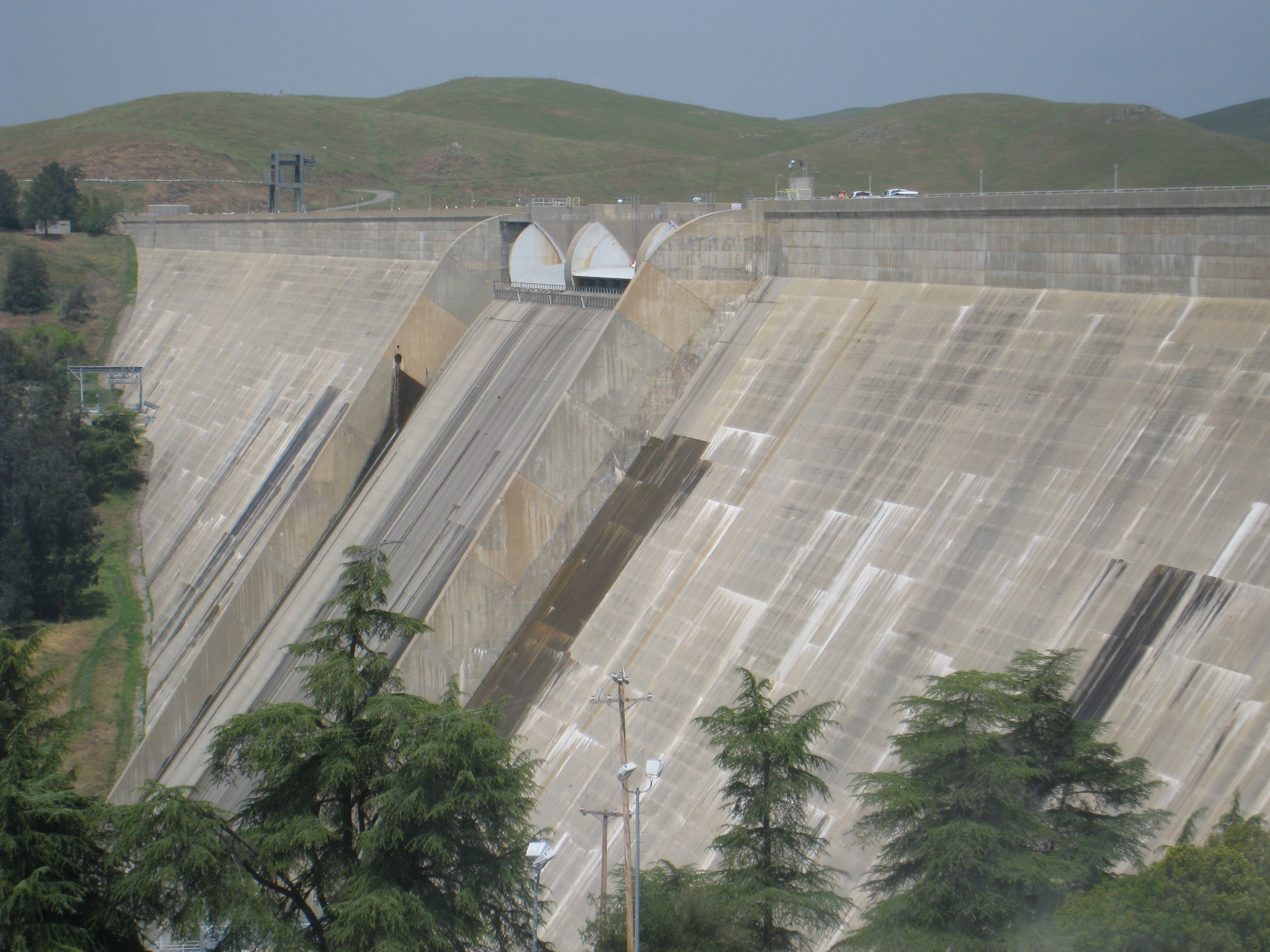 The Central Valley is irrigated agriculture, so there’s plenty of water infrastructure to distribute the water around the valley. This is Friant Dam, one of numerous dams that catch the snowmelt from the Sierras for agricultural use,
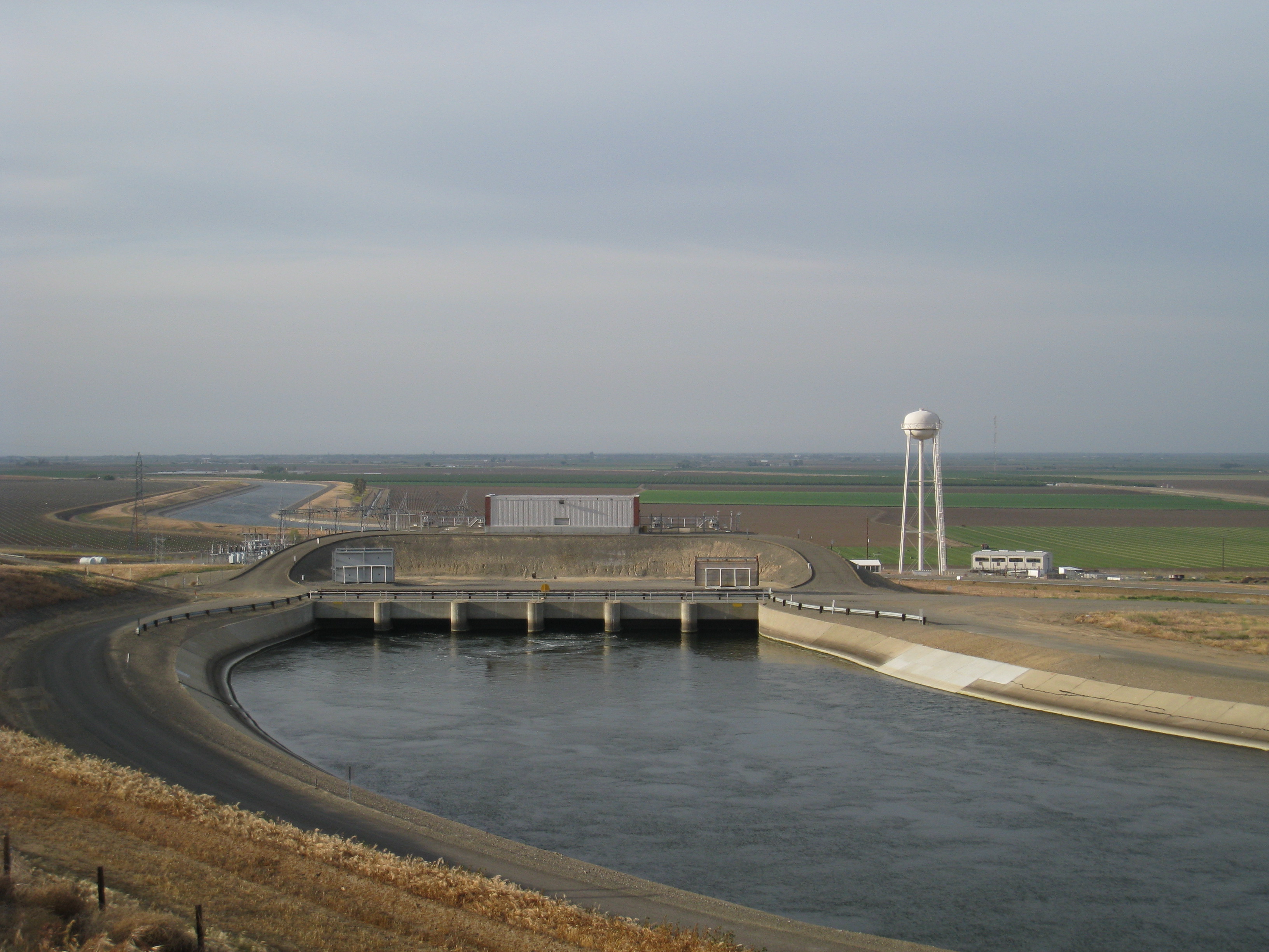 and the Central Valley Project and the State Water Project deliver additional water from the Bay-Delta for irrigation in the Central Valley, as well as supplying the metropolitan areas of Southern California. This is a picture of the Dos Amigos Pumping Plant by Los Banos.
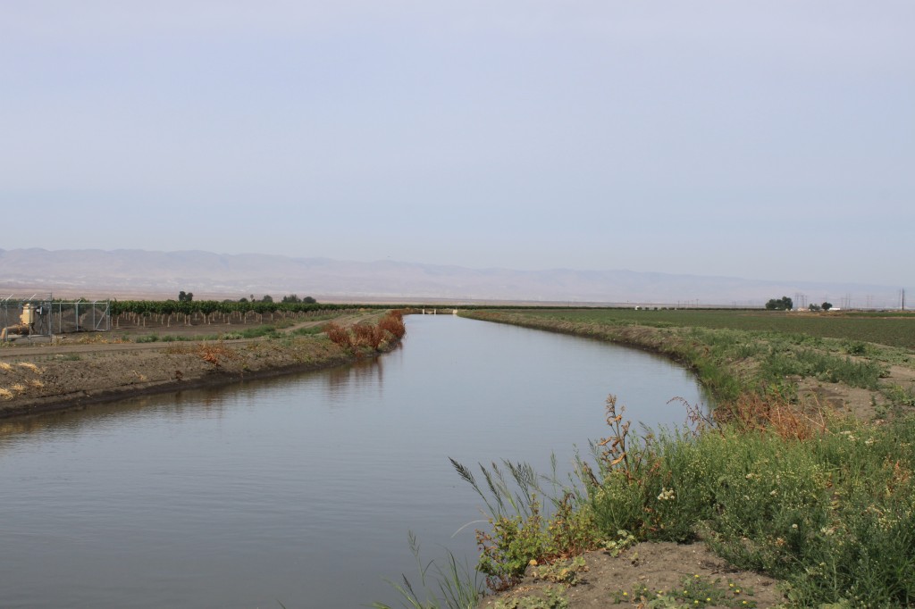
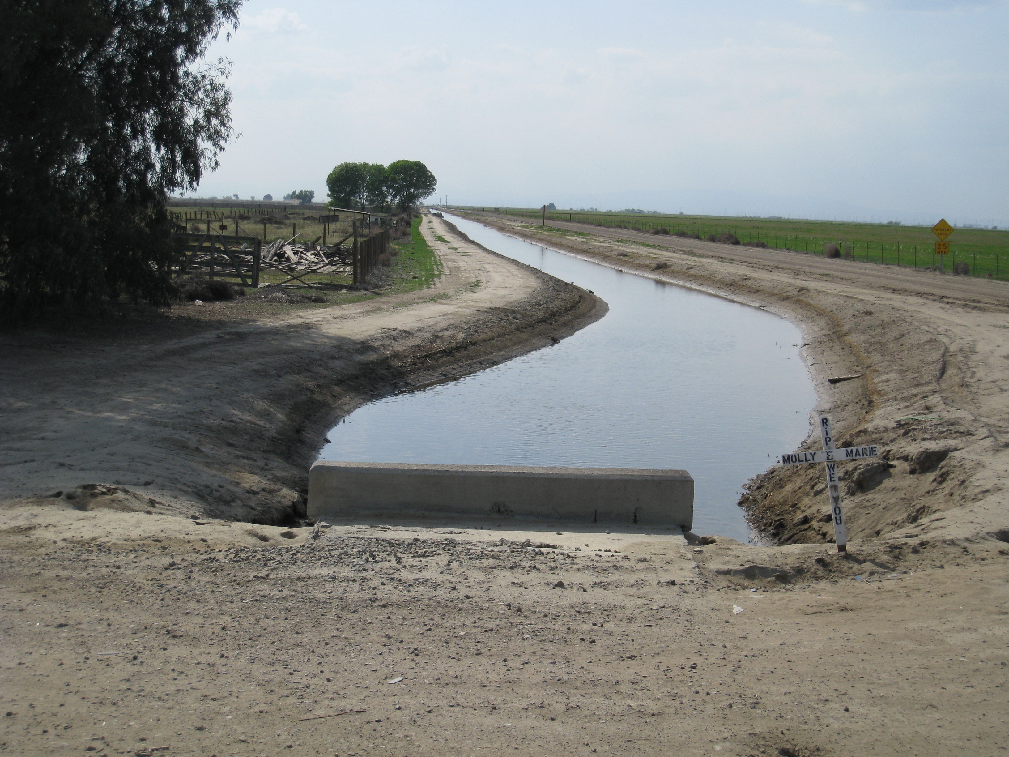
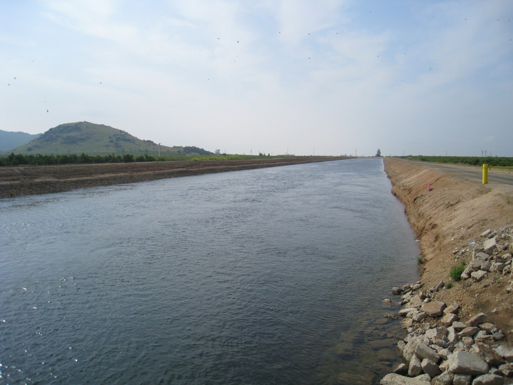
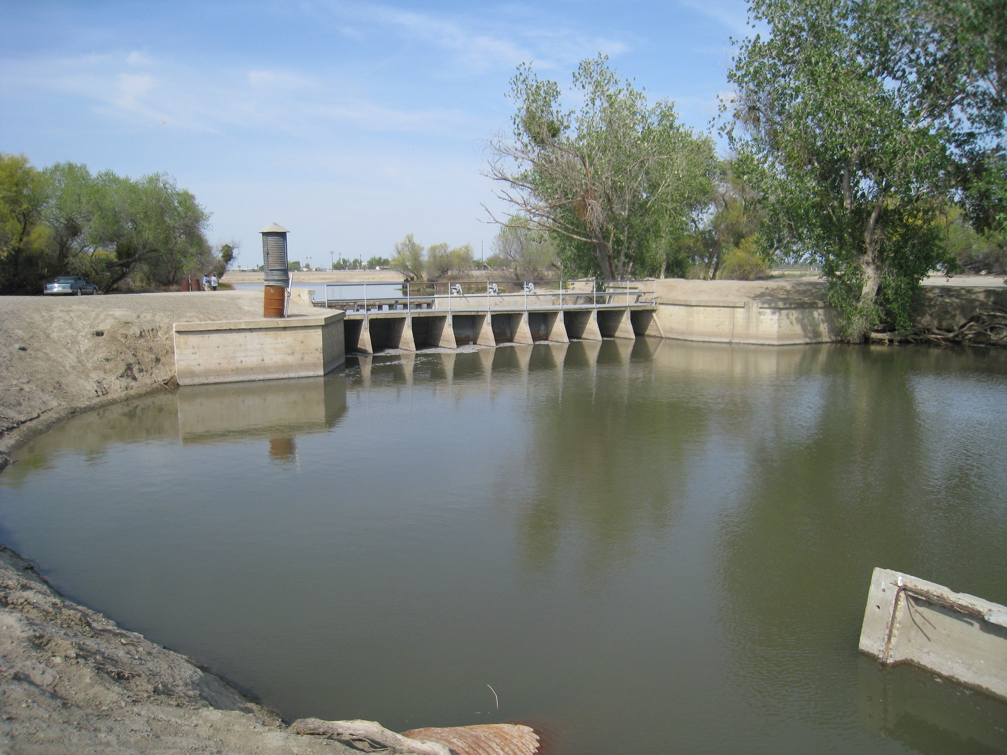 There are many canals that cross the valley.
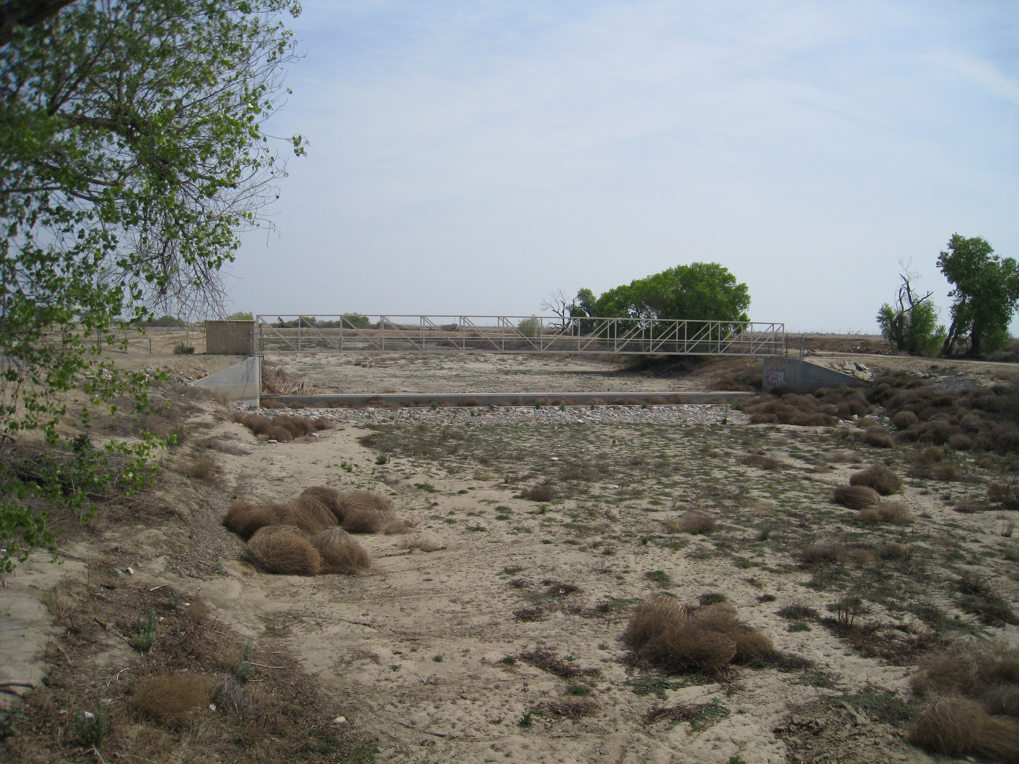 All this water comes from somewhere … this is the Kern River – or, perhaps, where the Kern River would be if the water was not diverted upstream.
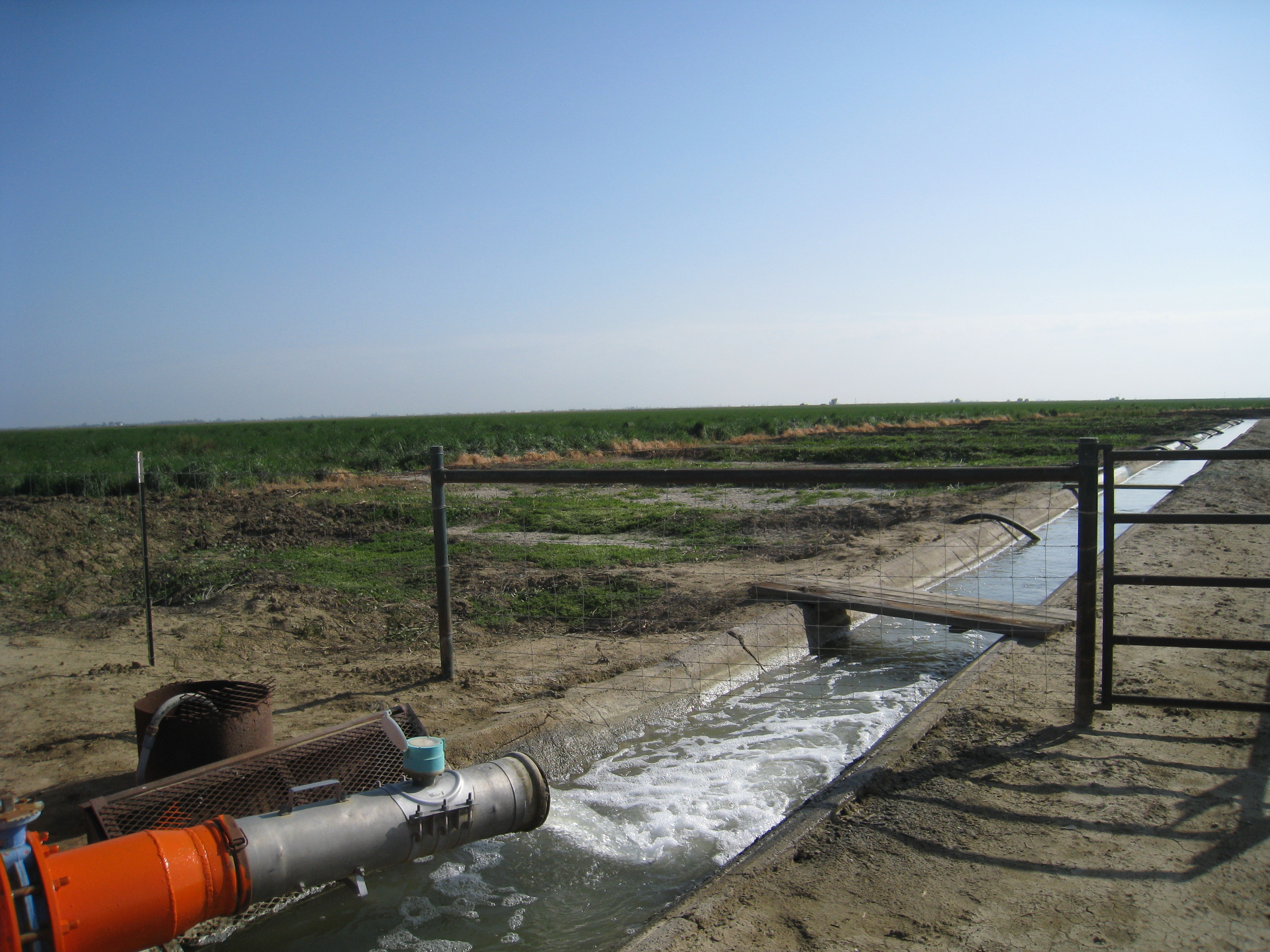
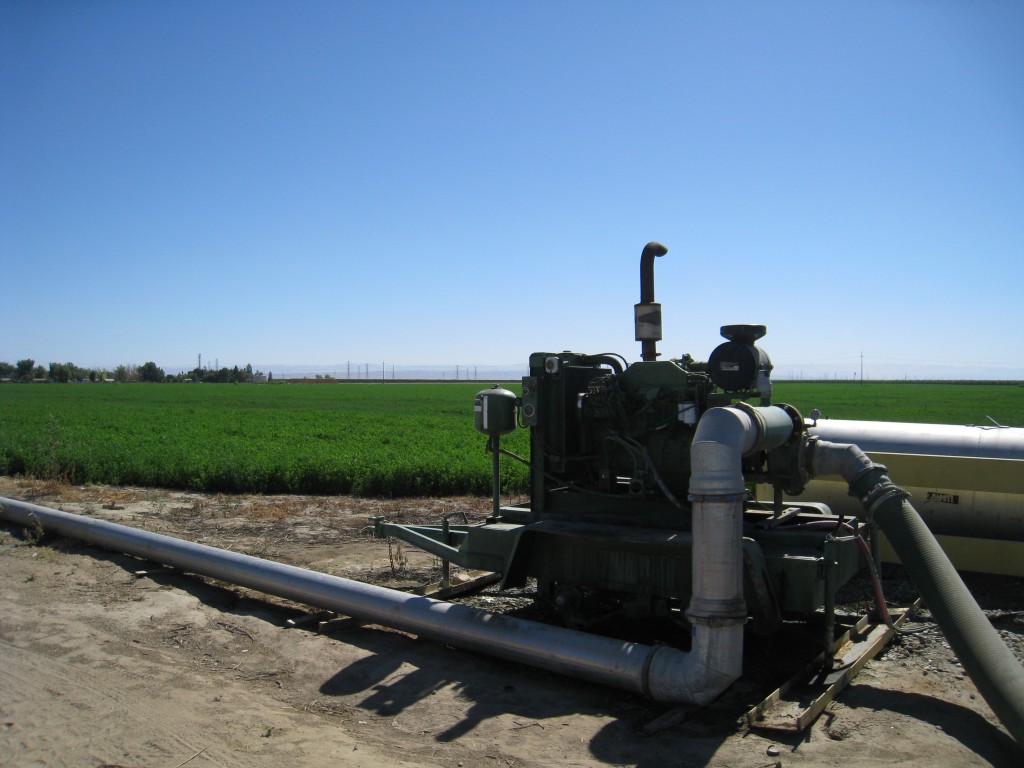
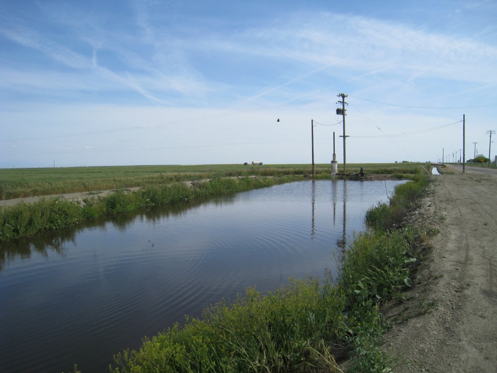
Irrigation water is delivered into a pond near the field, and then pumped out to the fields. Unlike the Imperial Valley, the infrastructure is under ground.
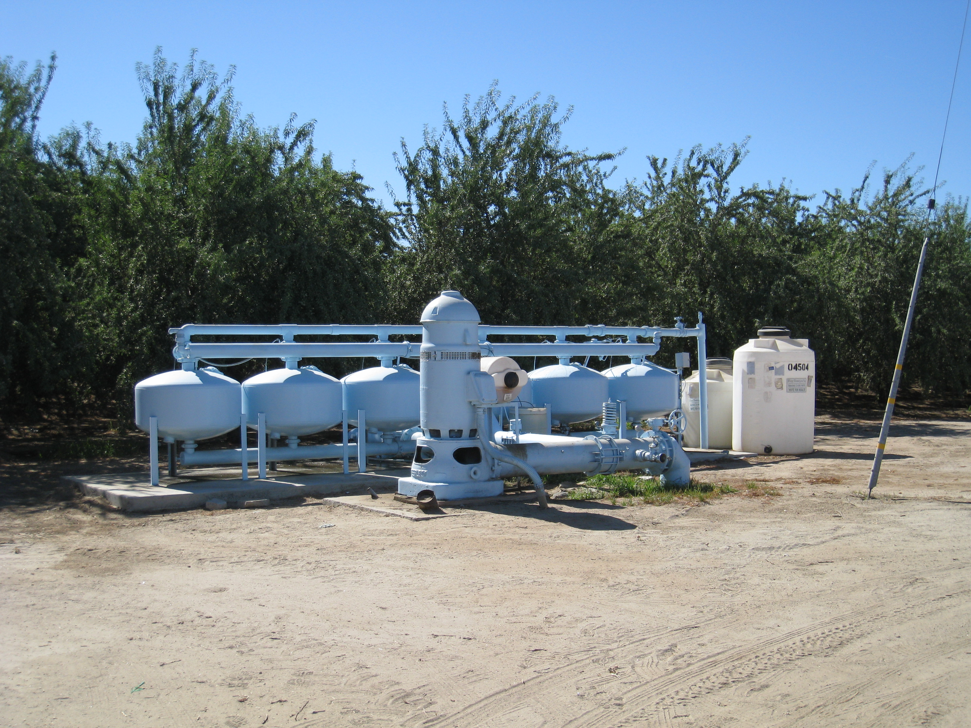 Many farmers filter their irrigation water.
Besides receiving canal water, many farmers pump groundwater as well. Groundwater depletion is a major concern here.
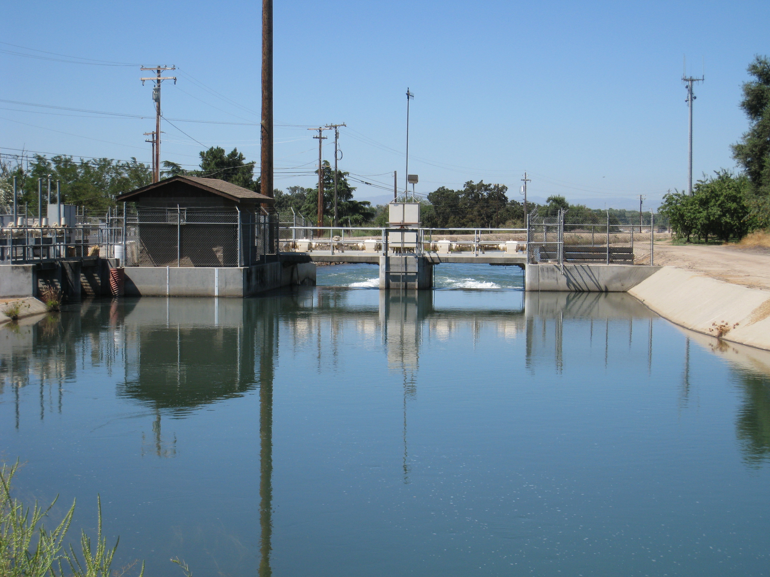
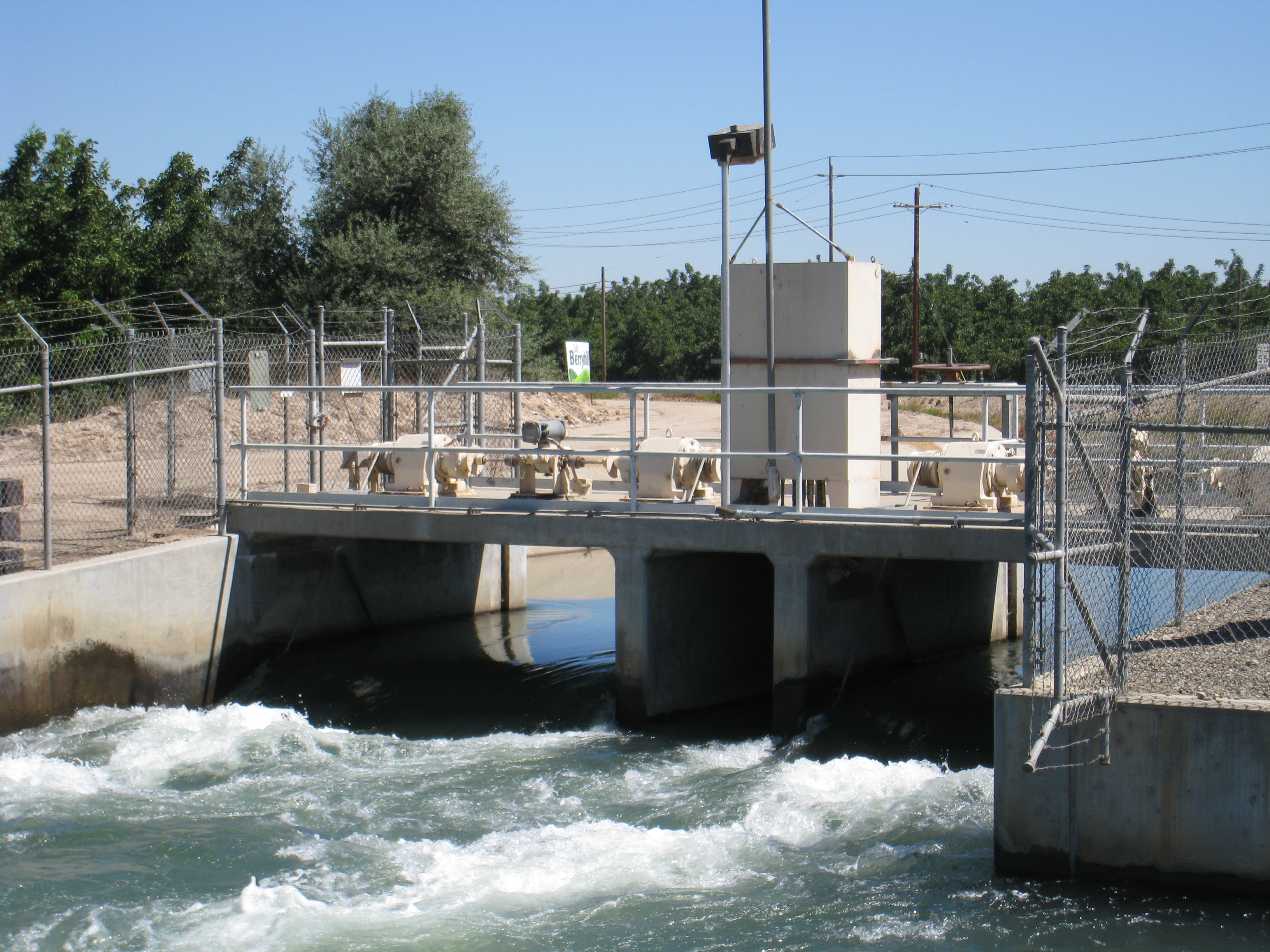 This shot and the next one are of the Escalon Spill. Escalon is an area on the central eastern side of the valley.
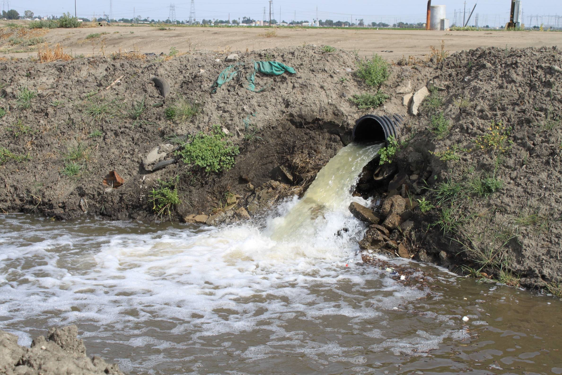 One of the persistent problems with irrigated agriculture – not only in the Central Valley but in pretty much all irrigated agriculture – is dealing with salts. Drainage water laden with salts must be dealt with or the land will become to salinated to use.
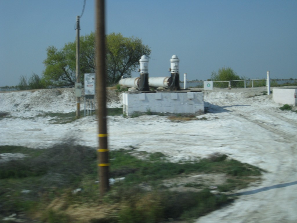
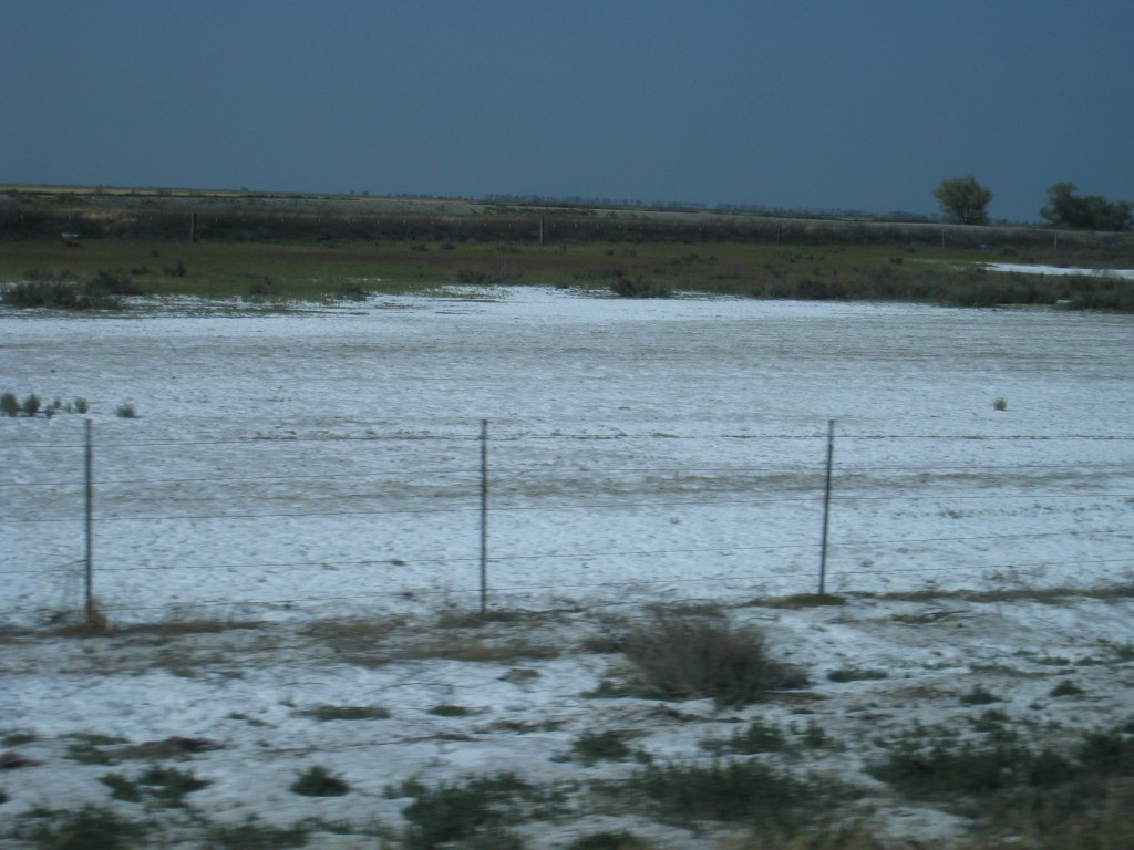
The salinity issues are greater in some portions of the valley than others. This was taken out the window of the tour bus on the road to Alpaugh.
This has led to some fields having to be retired due to salt buildup.
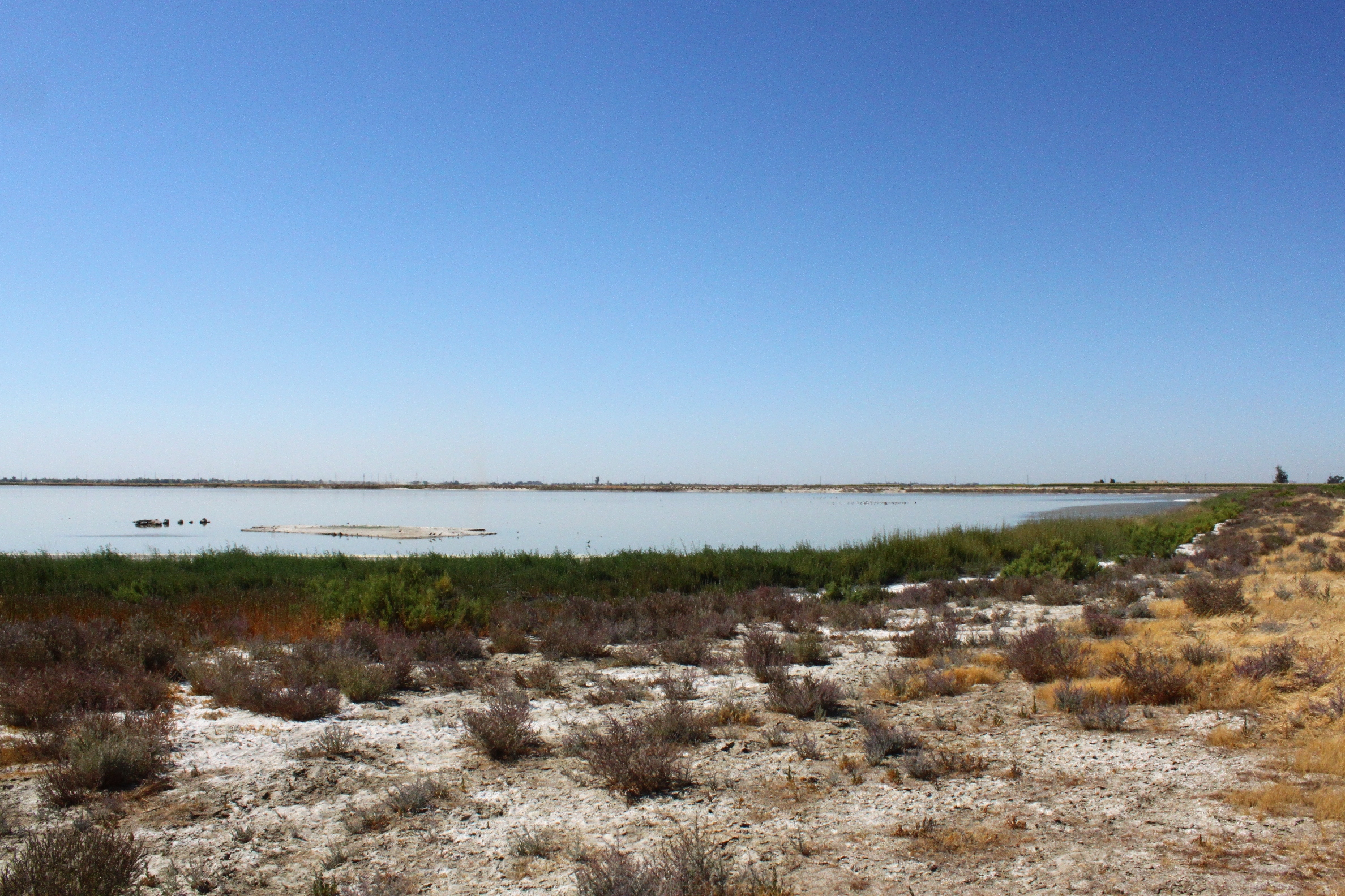 There is an extensive system of drainage canals that collect the drainage water and send it to evaporation ponds such as this one.
 Projects like the San Joaquin River Improvement Project are trying to find ways to put this drainage water to use by using it on salt-tolerant crops.
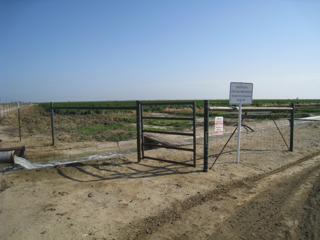
One of the more successful crops is Jose Tall Wheatgrass, which can be used as a supplement feed for dairy cows.
Here are a few other shots of the Central Valley …
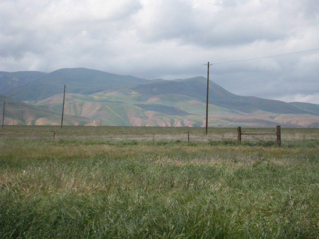
I love the colors of the foothills in the spring. This is looking south at the foot of the Tehachapis.
These are the gates to the California Aqueduct for water leaving the O’Neill Forebay, which is by the San Luis Reservoir.
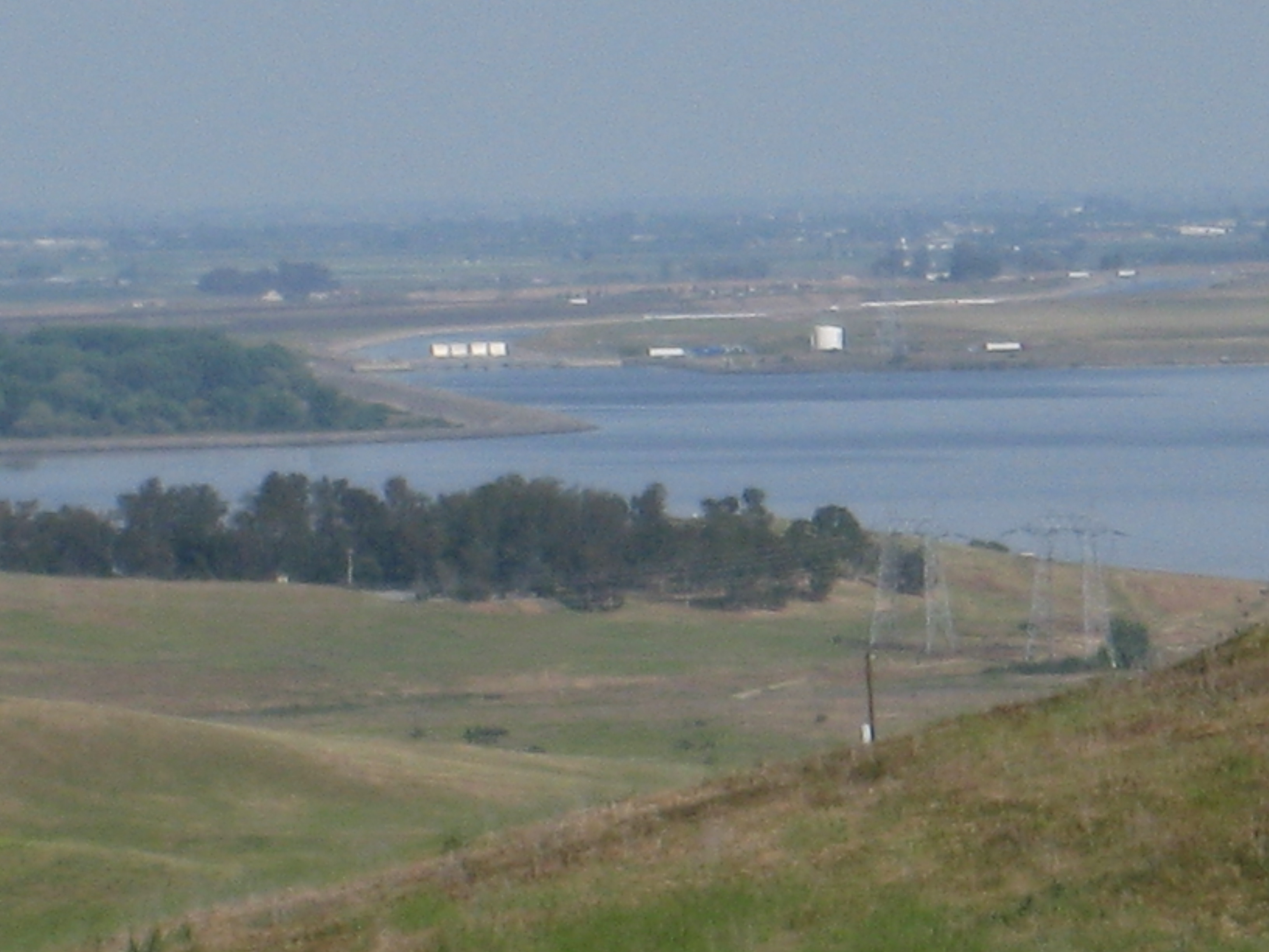
The gates in the previous picture are visible in the distance in this picture of the O’Niell forebay taken from the San Luis Reservoir.
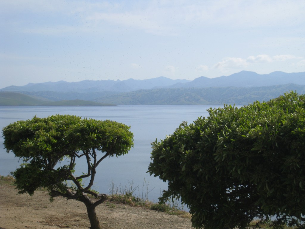
And this is the San Luis Reservoir located outside of Los Banos. It is a joint reservoir of the Central Valley Project and State Water Project.
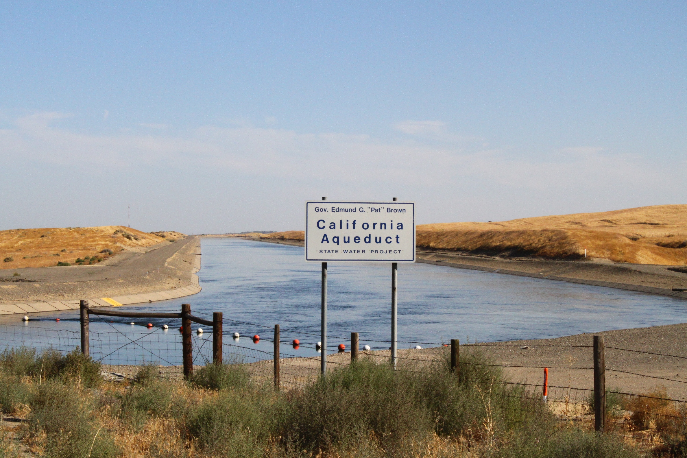 The California Aqueduct, a major component of the State Water Project, is named after Governor Edmund Brown, who was instrumental in making the State Water Project a reality.
The California Aqueduct is not the only major canal in the Central Valley. This is the Central Valley Project’s Friant-Kern Canal, which runs from Friant Dam on the east side of the valley down to Kern County.
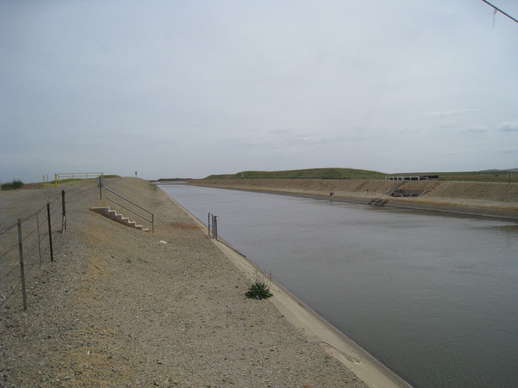
The Delta Mendota Canal, another part of the Central Valley Project, delivers water from the Delta down to the Mendota Pool.
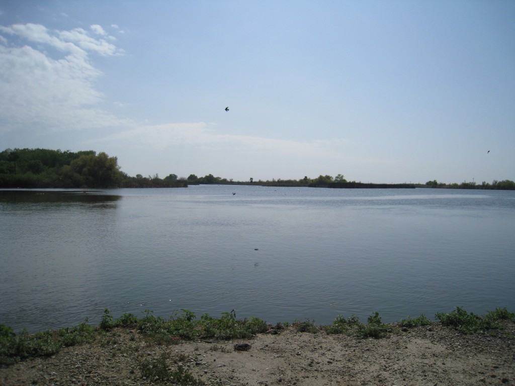
This is the Mendota Pool, a junction point for several irrigation canals and the San Joaquin River.
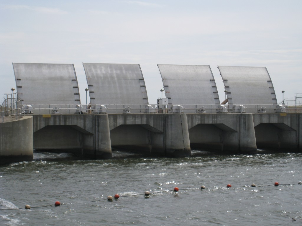
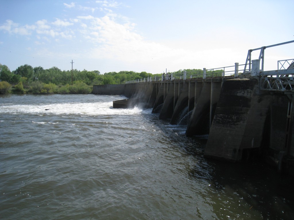
Mendota Dam creates the Mendota Pool, and regulates water released into the San Joaquin River.
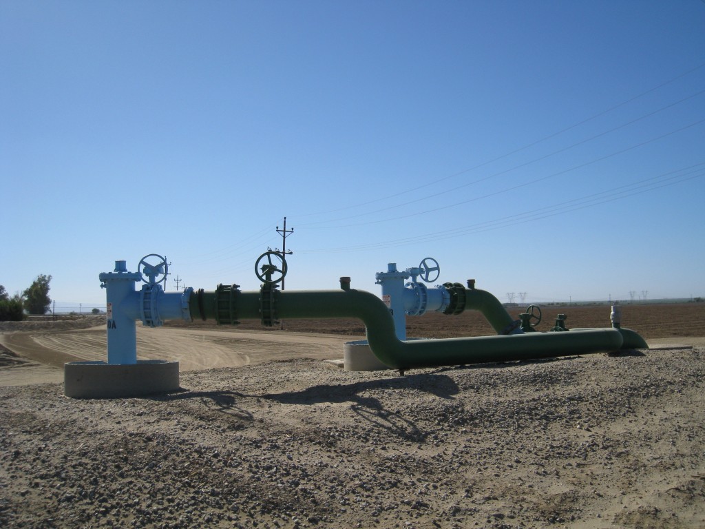
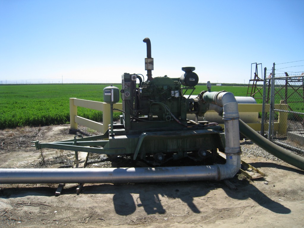
Just an interesting shot of irrigation equipment, taken in the southern San Joaquin Valley.
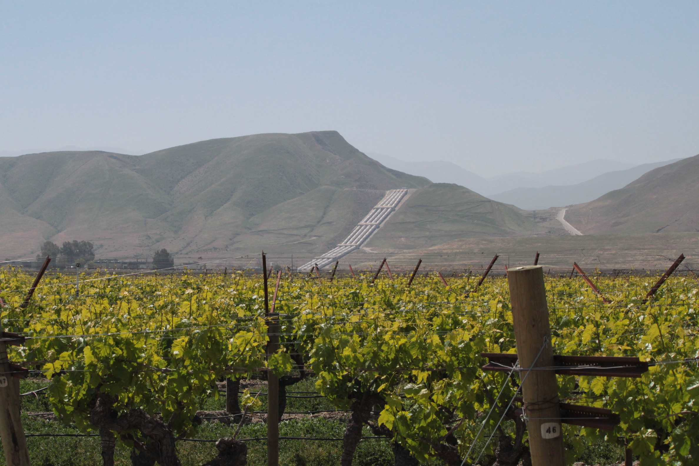 This is one of my favorite shots. The pumps in the distance are the Chrisman Wind Gap Pumps, which is the first major lift to get the water over the Tehachapis to Southern California.
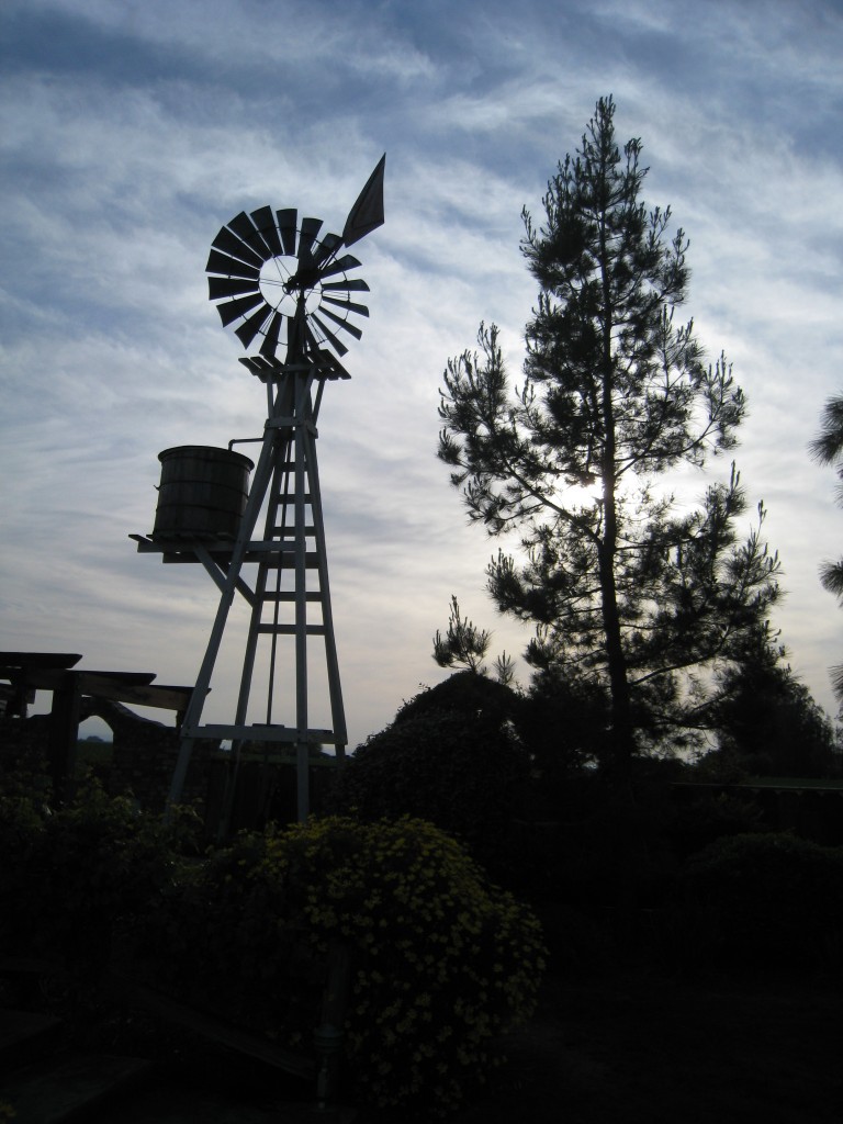
So long from California’s Central Valley!
To learn more about the Central Valley:
- Central Valley’s Wikipedia Page and/or San Joaquin Valley’s Wikipedia Page
- Central Valley Agriculture – a PBS video that discusses the future of the Central Valley
- San Joaquin Valley – Largest human alteration of the earth’s surface, a USGS Publication
- San Joaquin Valley agriculture – from UC Davis
Wow! Wonderful photo’s.