On the rare occasion when I fly, I like to keep my camera handy, and hope for an aisle seat. With any kind of luck, I can usually get some interesting shots. Recently, I had the opportunity to fly from Burbank to Sacramento. Here are some of the more interesting shots …
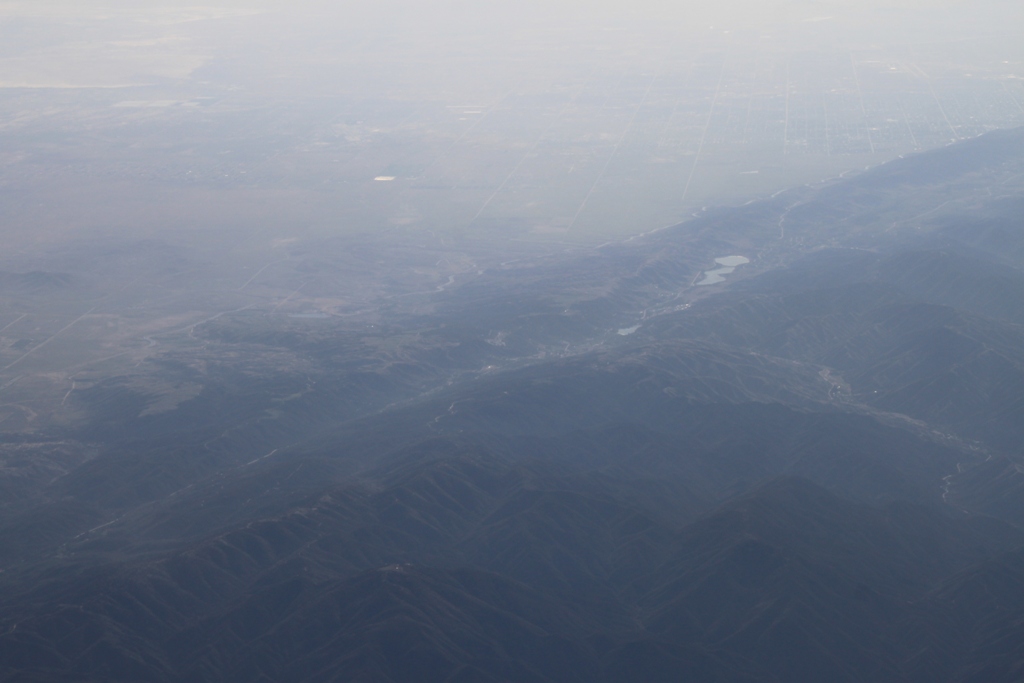
When you get up in the air, it’s easy to see the San Andreas Fault. It’s the big gash that runs up the side of the state. The water in the middle is Lake Hughes and Lake Elizabeth – natural groundwater-fed sag ponds that form along fault lines.
 This is where the California Aqueduct emerges from the tunnels after being flung over the Tehacahapis. It’s called the ‘bifurcation point”, The East Branch is the one in the upper part of the picture and is headed to Silverwood Lake and Lake Perris, eventually.
 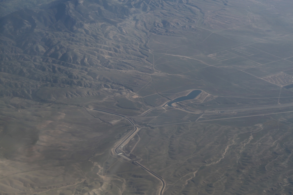 And here, the sun catches the water in the aqueducts …
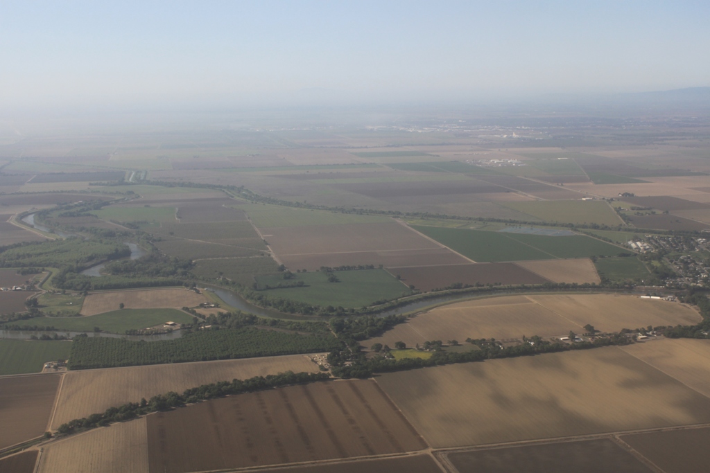
 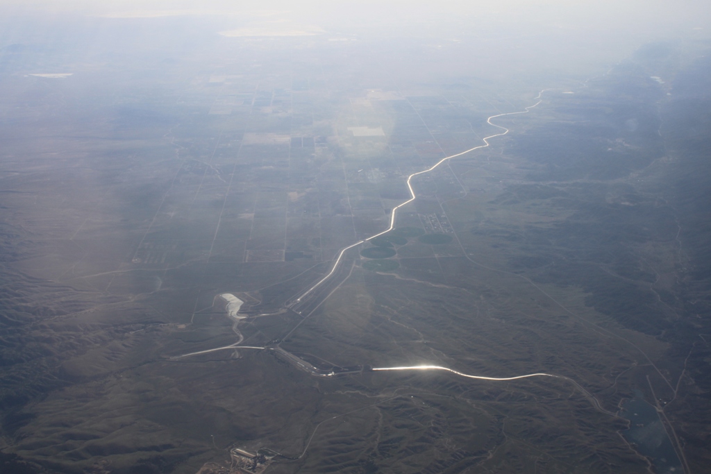 Central Valley, somewhere …
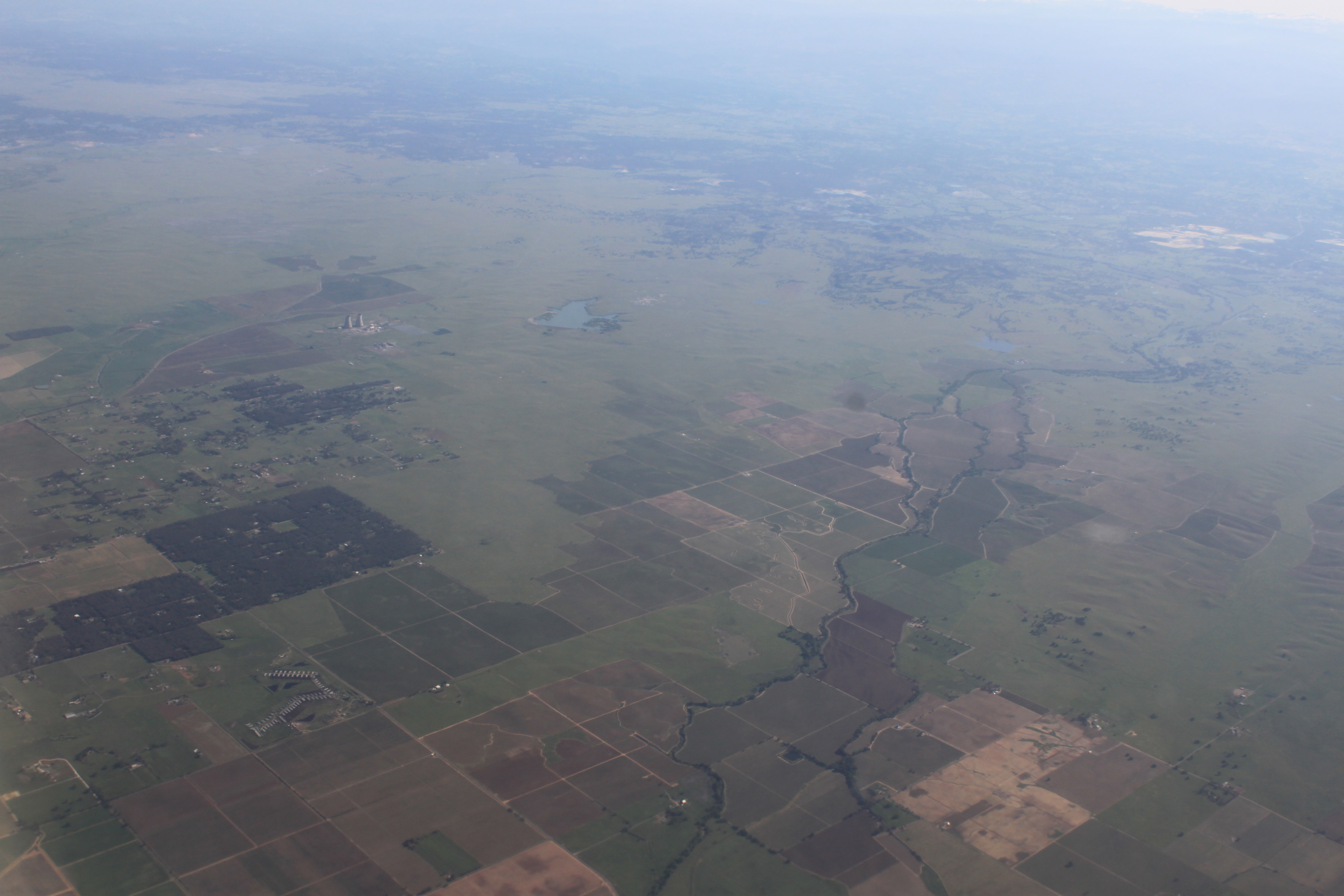 Some Central Valley town … maybe Stockton … ?
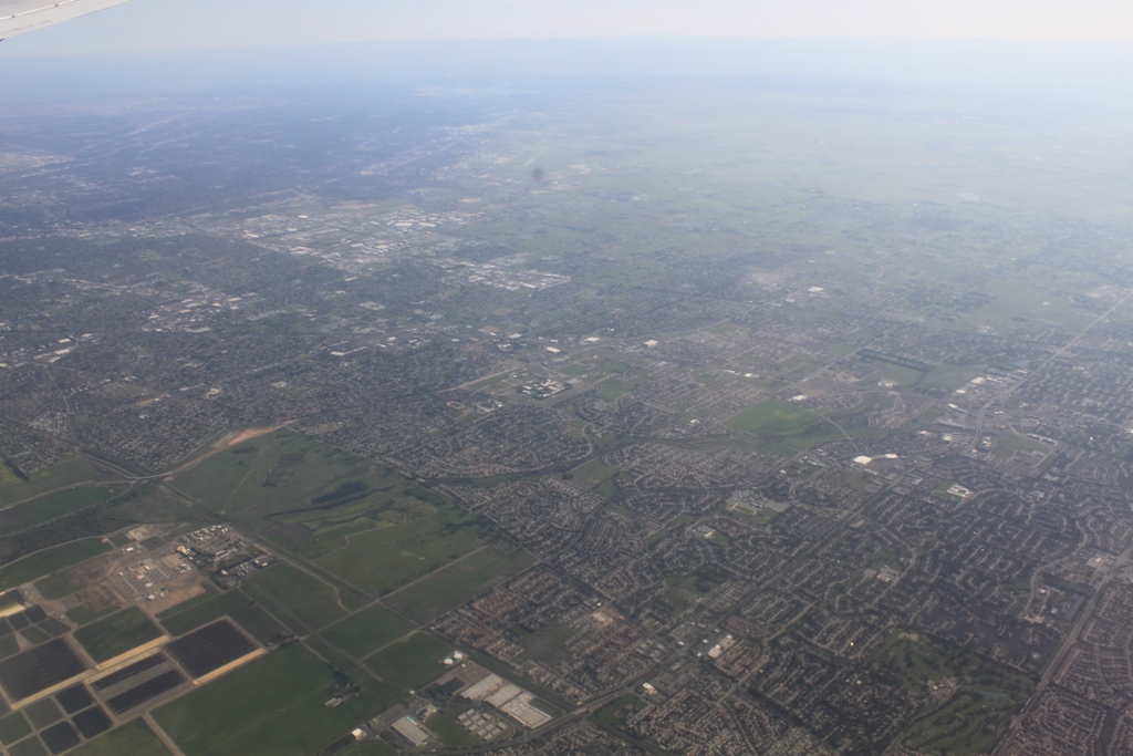
Coming into Sacramento. Below, the Freeport bend …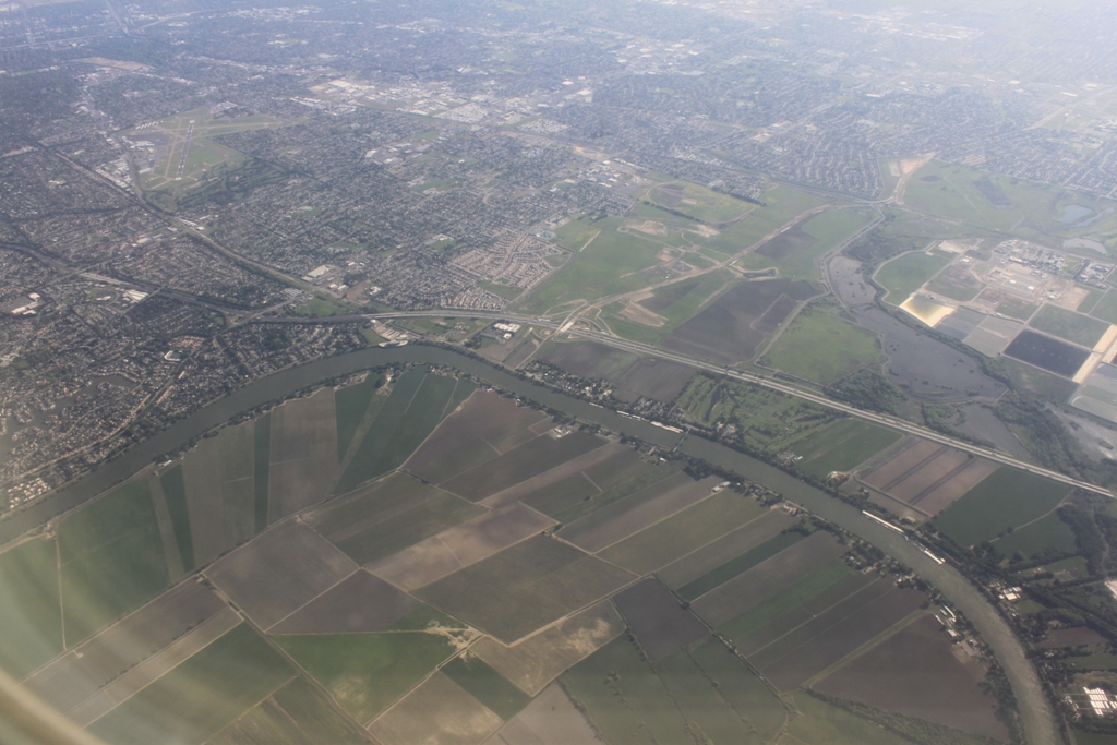
The white structure in the curve is EBMUD’s Freeport project.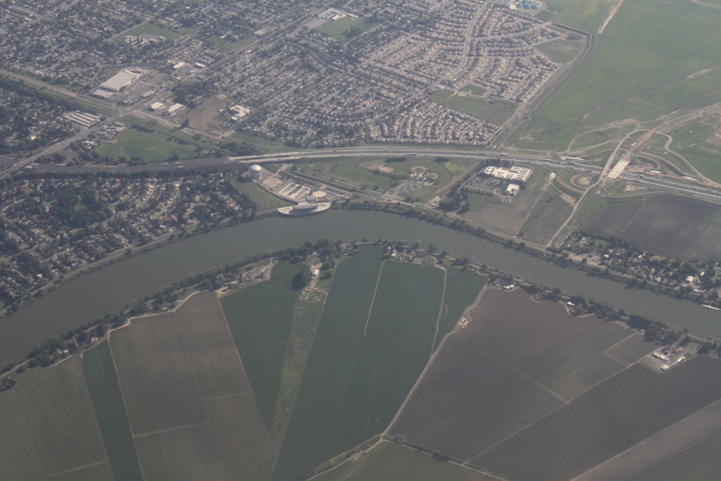 More of Sacramento …
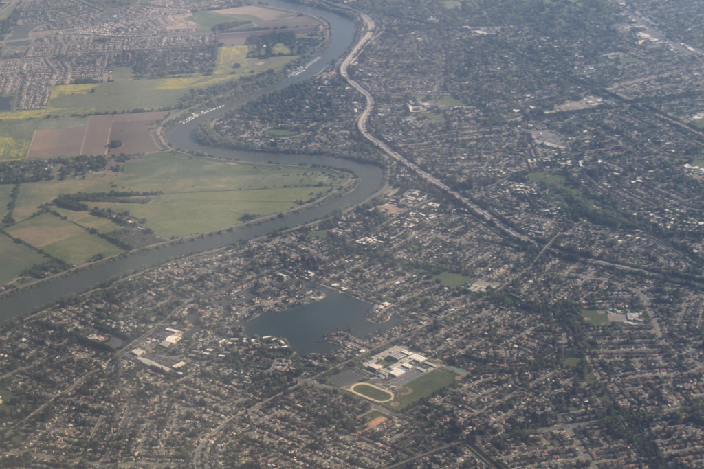
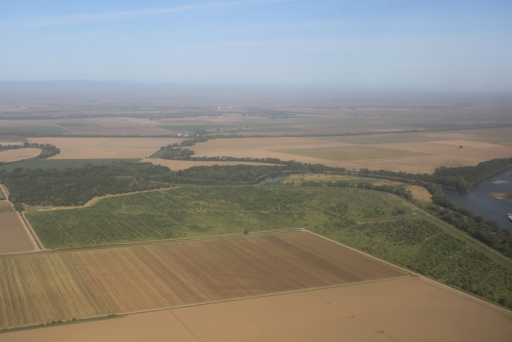
What luck! Our plane, for whatever reason, goes north past the airport before turning around and coming back to the airport, so I get a chance to see some of the Sacramento Valley … 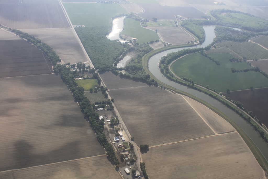
Notice all the brown, fallowed fields …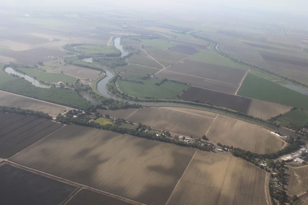
 A sign of the drought – Sandbars in the Sacramento River!
 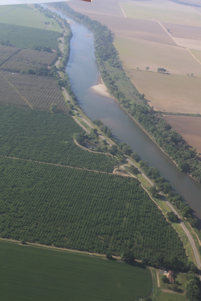 The confluence of the Feather River and the Sacramento River …
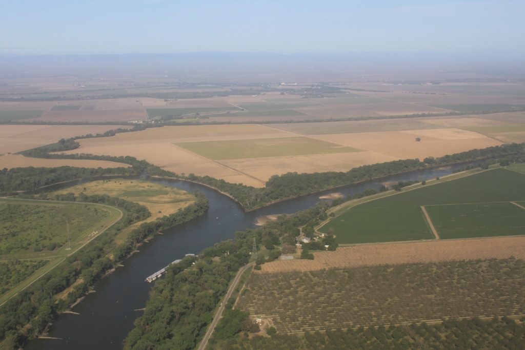
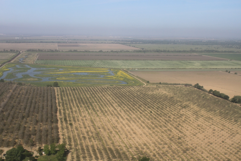
 Dried orchards …
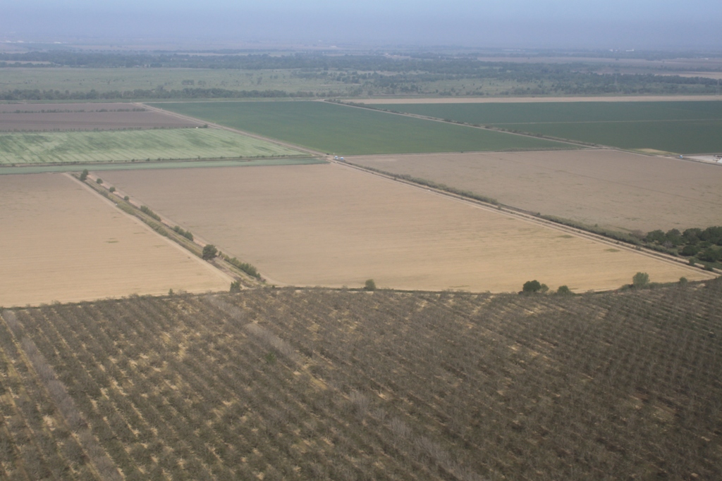
 Welcome to Sacramento …
I love the photoblog! Some of my favorite “MavenWerk” are the cool photo journeys we are taken on through (along) the California waterways. Keep up the good work!