Back in April of last year (yes, I’m a bit behind in my photoblog posts), my husband and I were gifted with a glorious treasure: a weekend without kids! So we fully took advantage, taking the opportunity to take a road trip to the earthquake-famous town of Parkfield, California.
Our journey began on Highway 198, heading west from Interstate 5, into the Temblor Range. The road leaves the valley floor, traveling through the foothills, with the landscape rather dry at first but becoming increasingly greener as we gained in elevation.
Remember, these pictures are from 2012, which was a significantly wetter year than this year, and as I recall, there was precipitation even continued a little later into the spring months than usual, so even though at the time of this trip it is late April, it was still quite green in the higher elevations. We passed ranches along the way, which appeared to be dry farming as there was no irrigation infrastructure (ie, laterals, water pumps, etc.) to be seen.
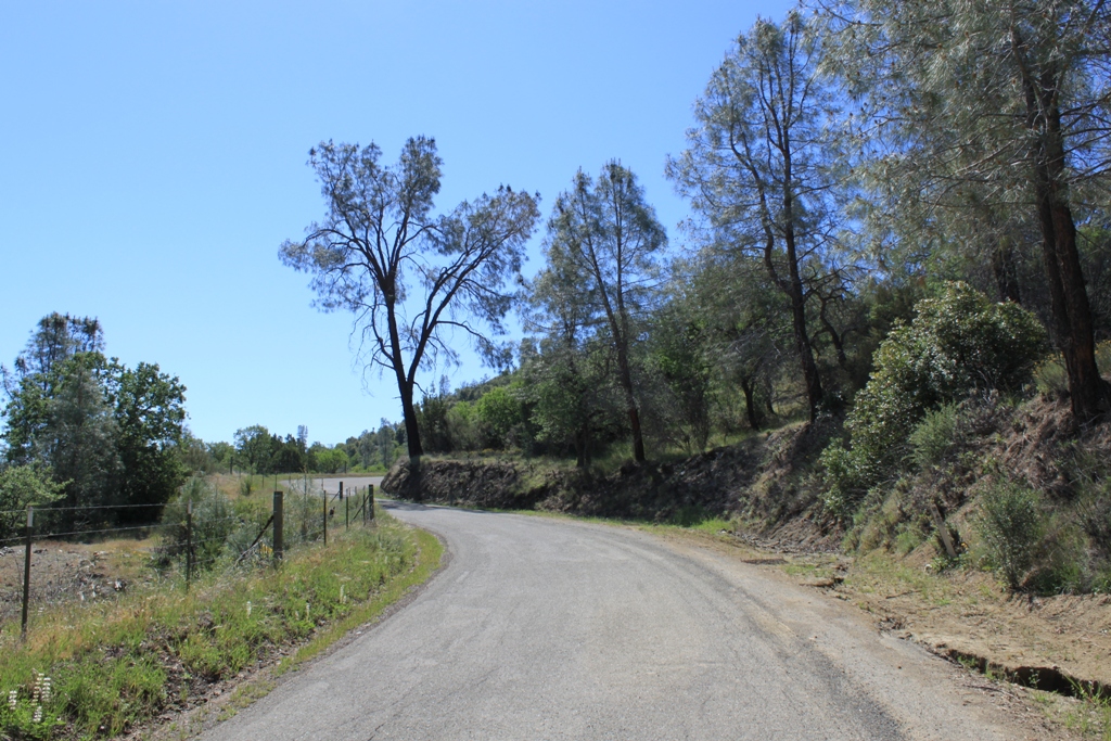
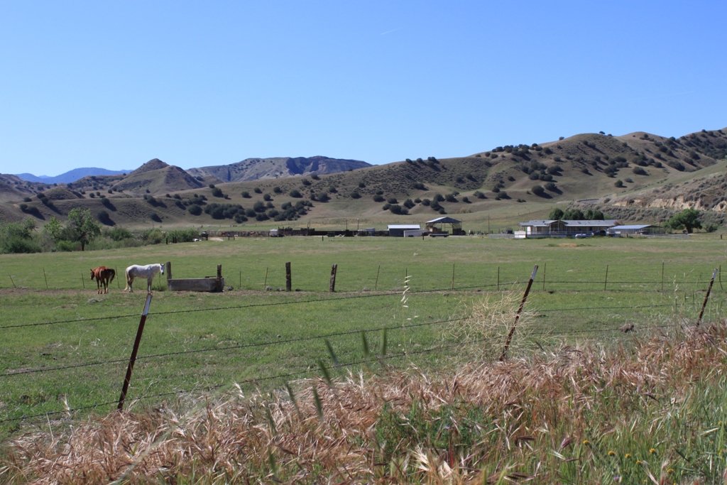 The road to Parkfield looks more like someone’s driveway, and as we drove along, it seemed as if we would turn the corner and end up at somebody’s fine ranch house, but the road kept going. I don’t recall that we saw any other traffic while we were on this road.
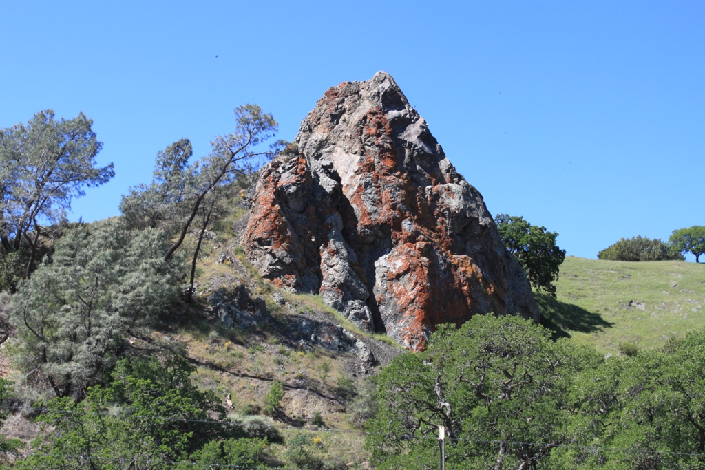
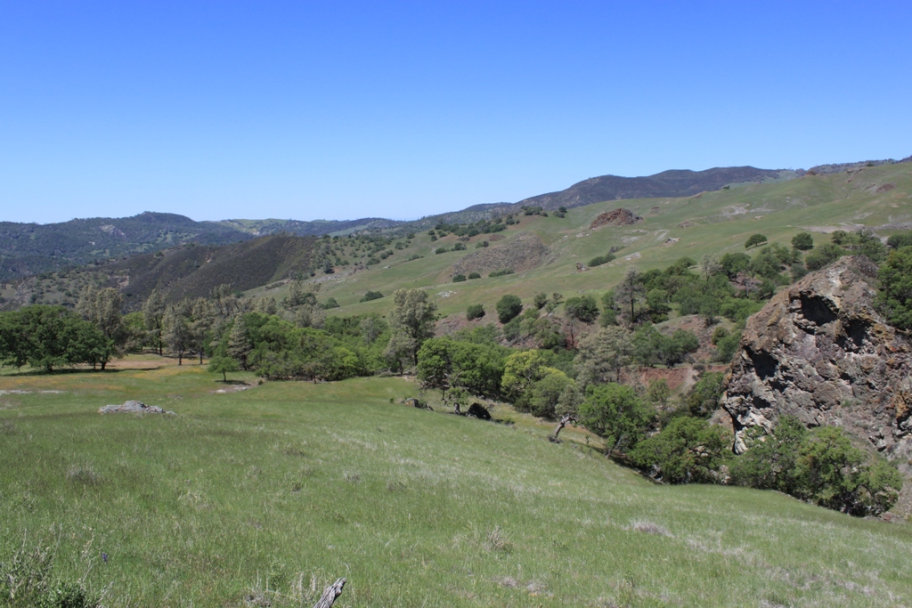
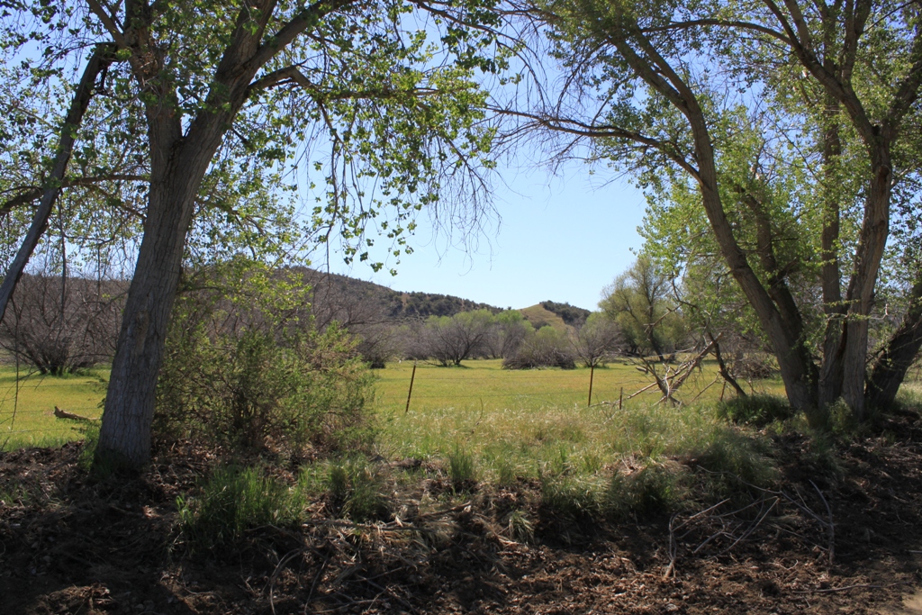 A common feature in the landscape were these rocky outcroppings dotting the countryside. This was quite stunningly beautiful to me; I just didn’t know there were parts of California that looked like this.
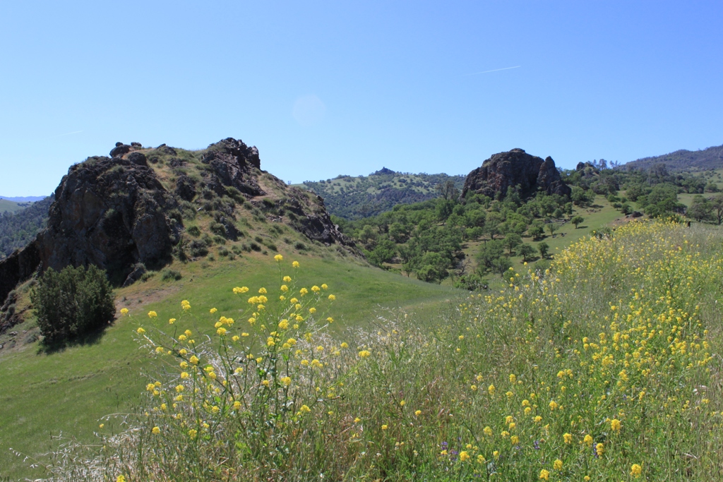 Some of the outcroppings were colored bright orange by the moss or lichen.
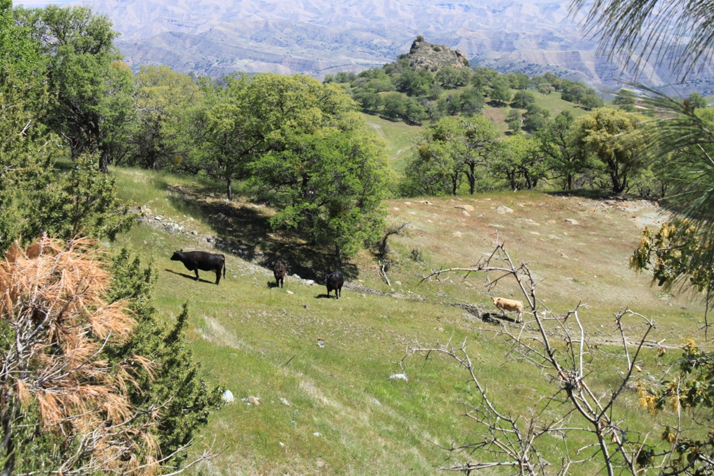
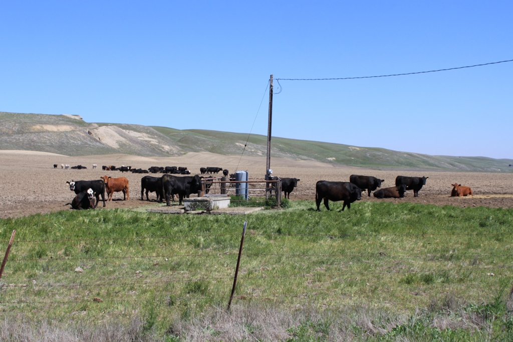
 Another common feature on the landscape were the cows. With the vegetation still lush from the late spring rains, there were plenty of cattle throughout the high country.
 The landscape is beautiful and serene, and we are enjoying being up here, driving along, completely by ourselves on a warm spring day.
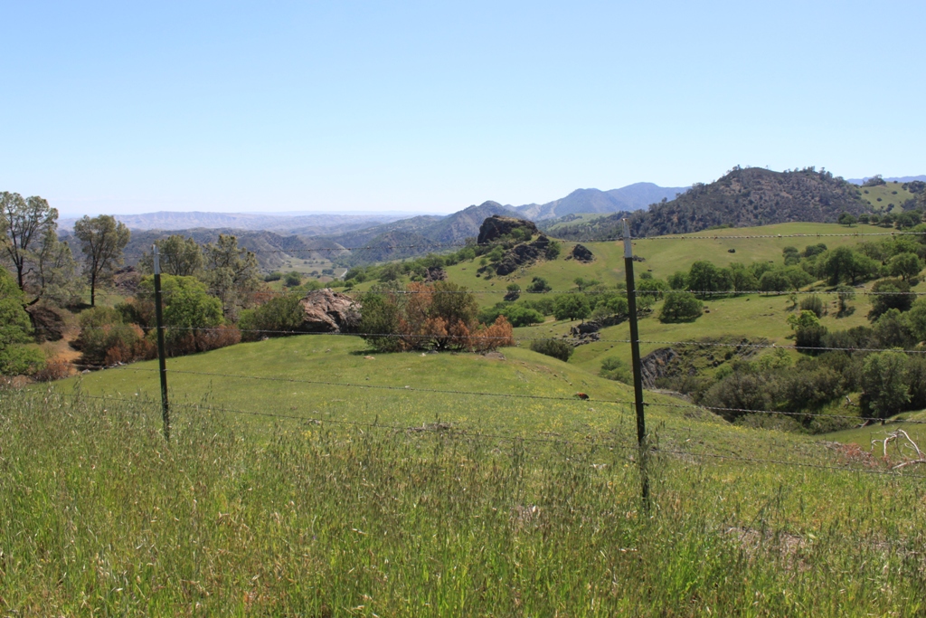
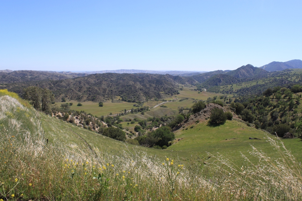 It looks stunningly green and lush to me.
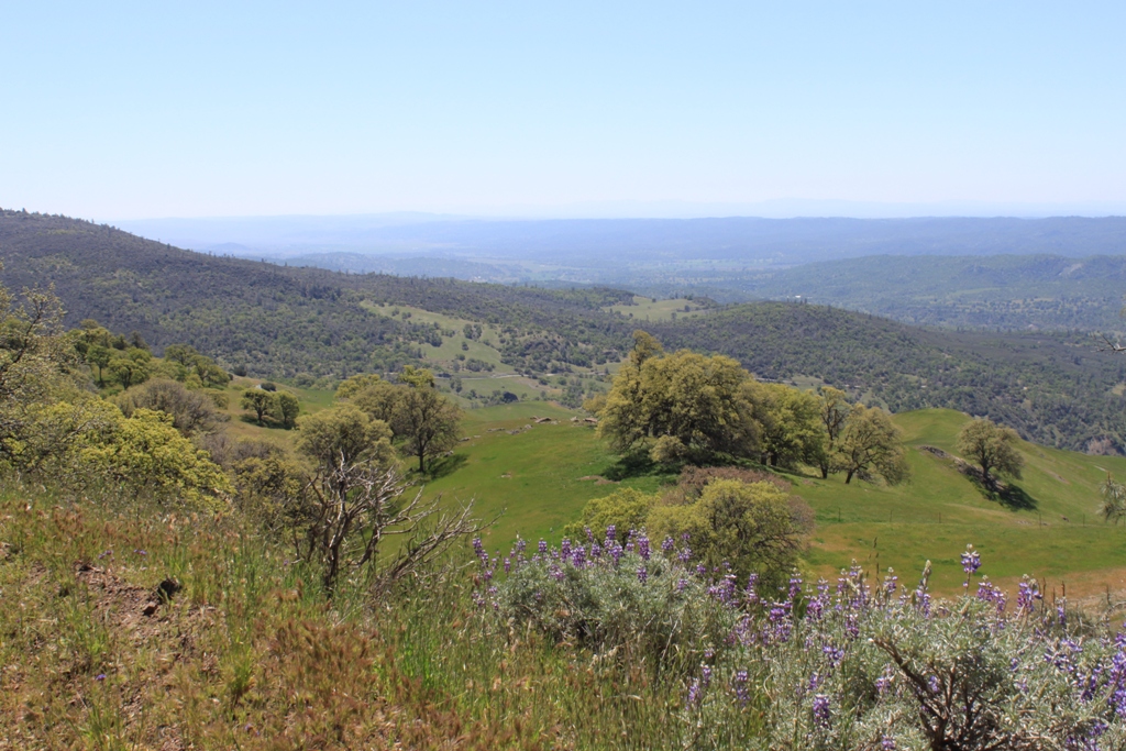
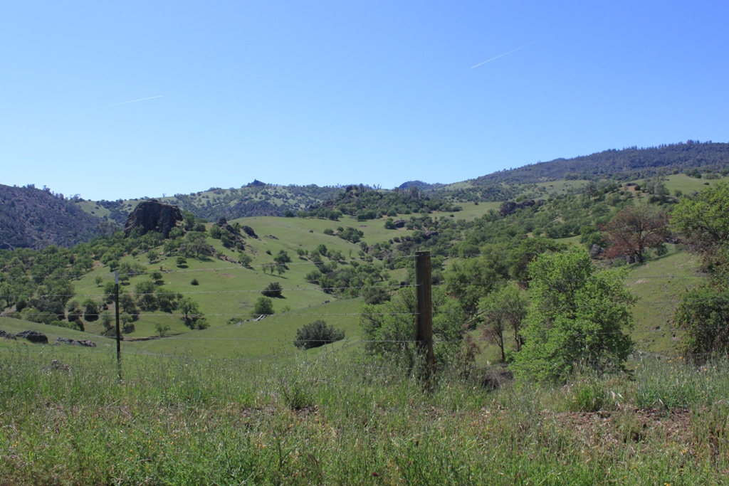 The road travels quite high, up to the top where it seems as if you can see forever.
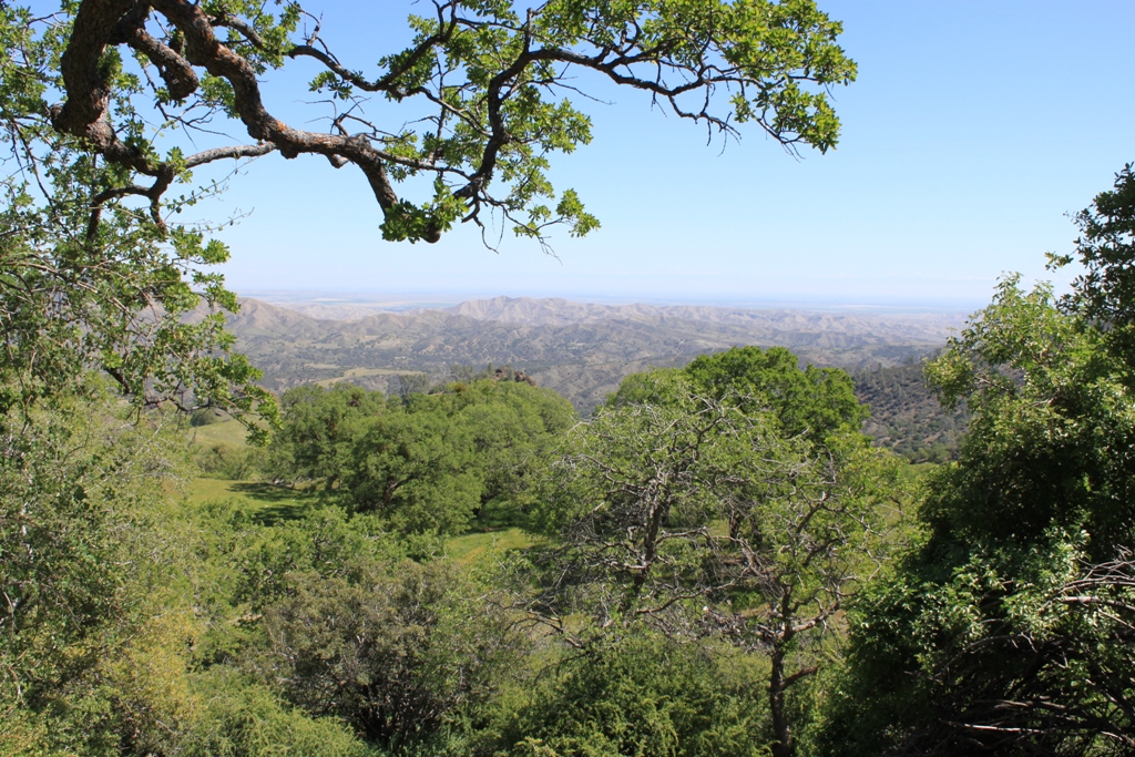 Near the top is a spot to pull off the road …
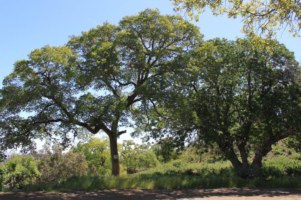 … with a modest memorial to three pioneers from the Roberts family that immigrated here from France and homesteaded in the area, eventually becoming successful in different ways.
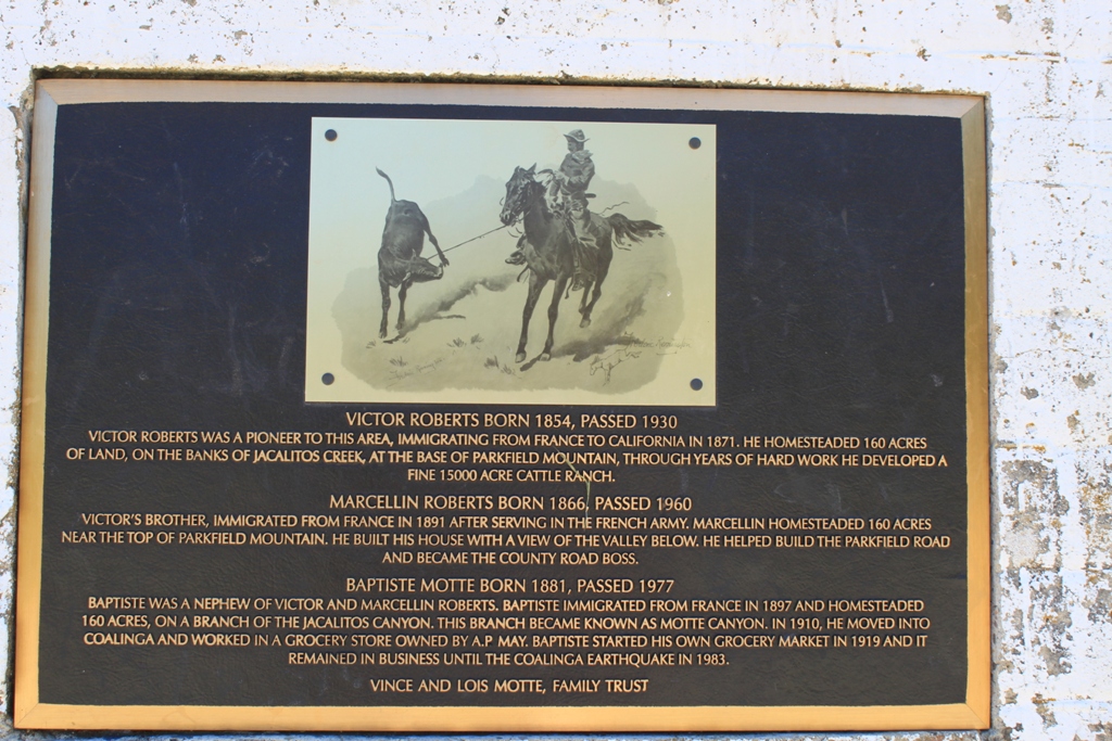
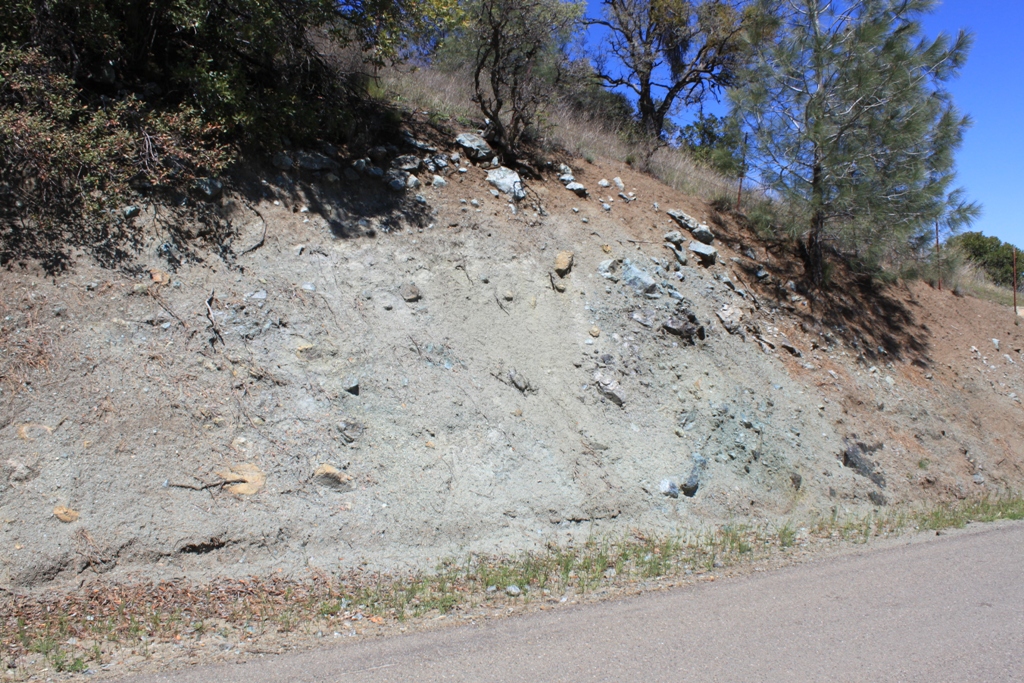
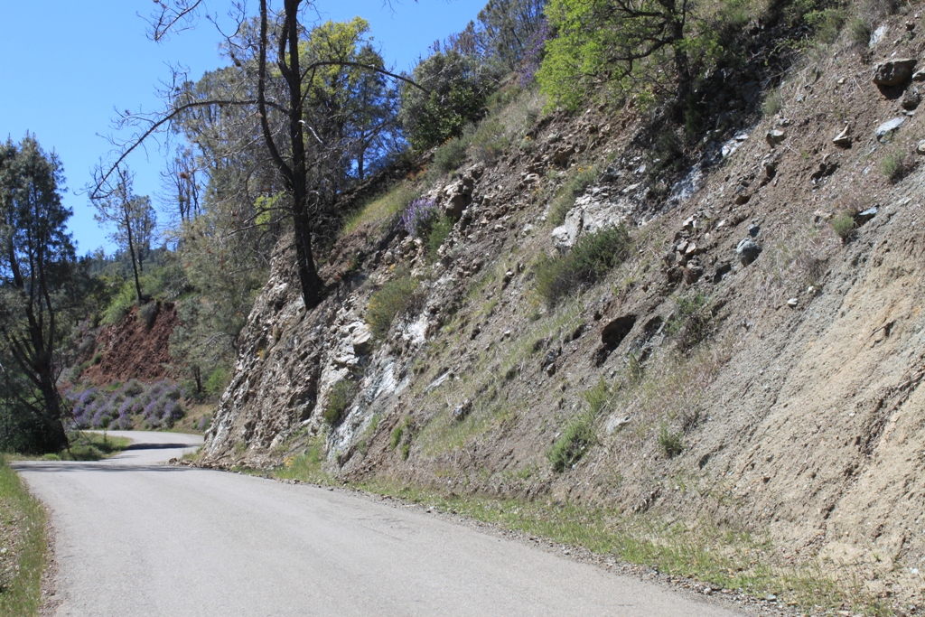
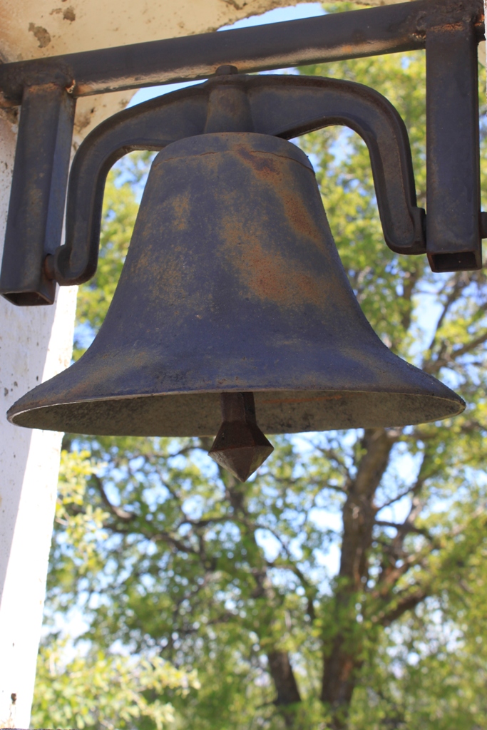 Further along, we came across a road cut across the fault, which gives itself away from the different type of rocks and soil that are present here.
 You can see the difference perhaps a little better in this shot, looking down the road – the red soils versus the gray and white rocks.
 One last look at the Central Valley …
 And then it was over the top and we were now looking into another valley to the west.
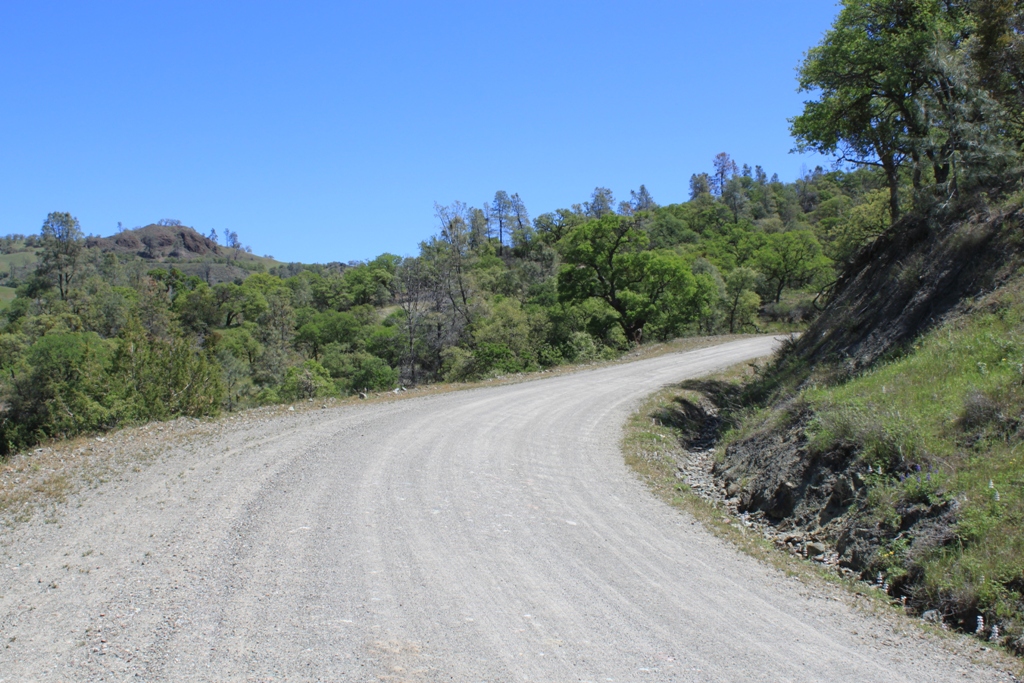
 Here the road turned to a well-maintained dirt road, still quite passable for our passenger vehicle.
 More beautiful countryside … I am loving how green it is right now, knowing full well if we come through in just another month or two, it would look much different.
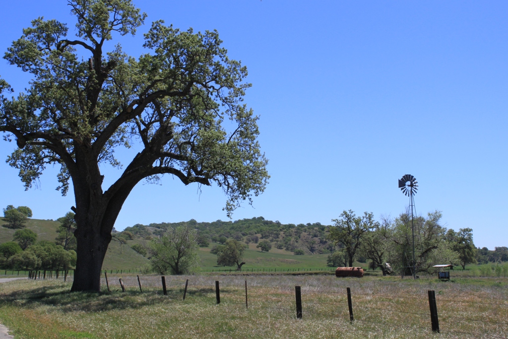
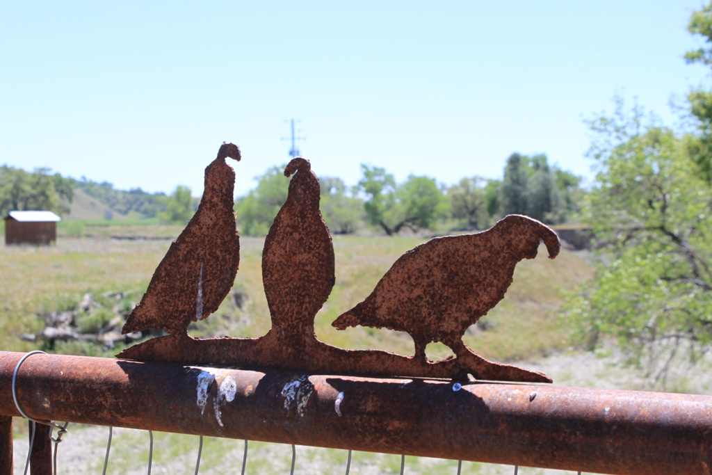
 As we neared Parkfield, there were more ranches, some with these great iron pieces of art, like the birds, complete with bird poop …
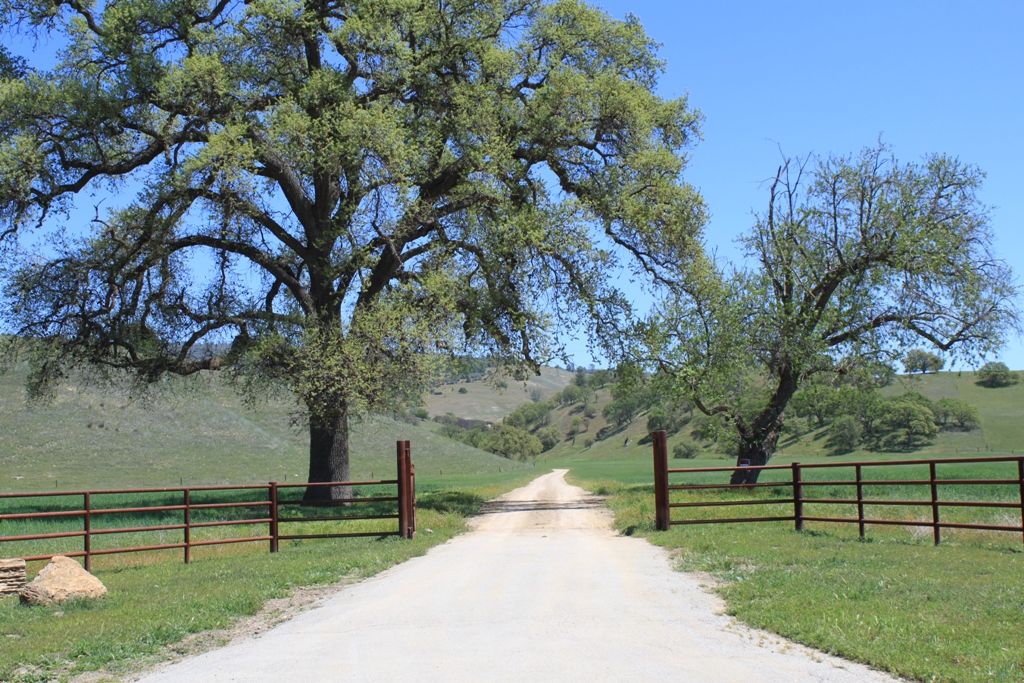
Or this entrance to a ranch. (Wish I’d noticed the little piece of green plastic … )
 Cattle ranching appears to be the economic mainstay of this area.
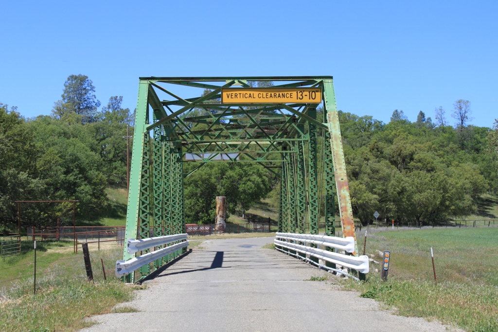
 A green bridge marks the entrance into town.
 Welcome to Parkfield!
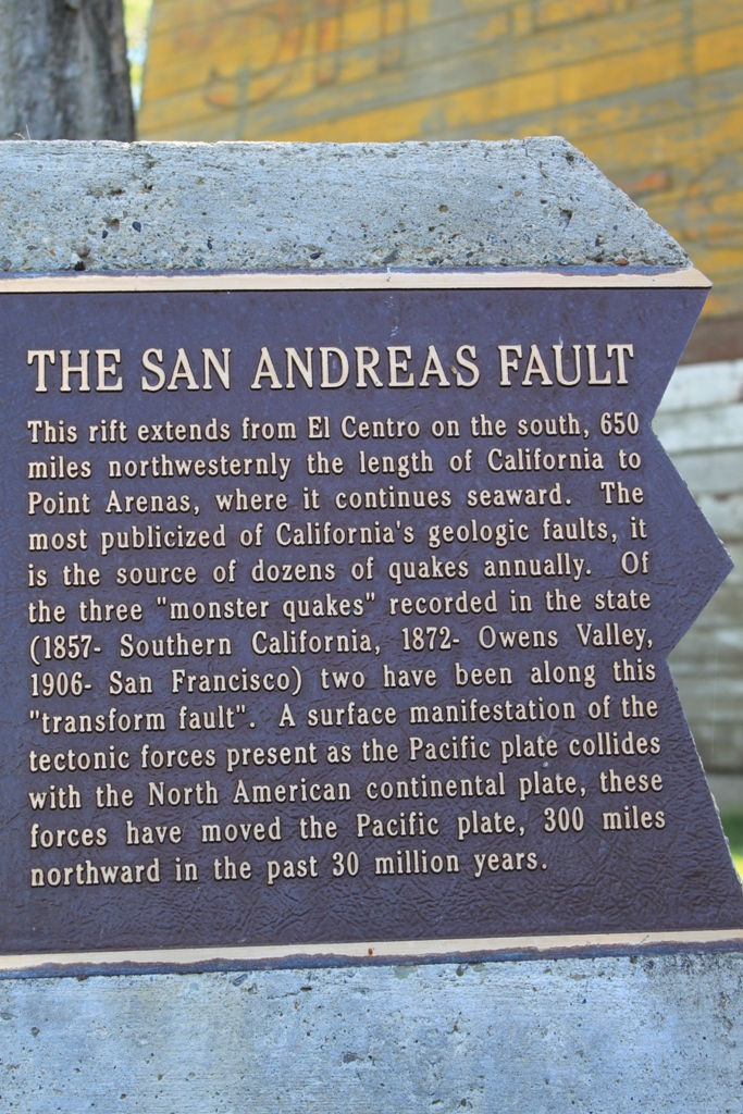
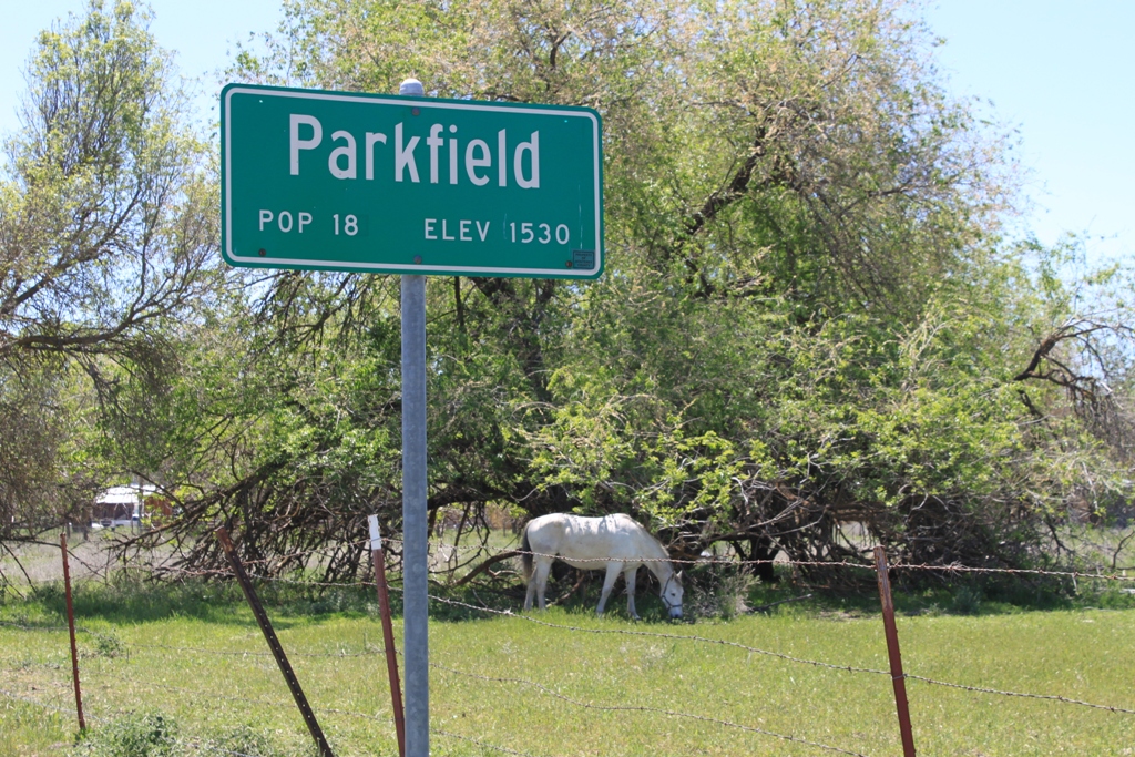 Parkfield lies along the San Andreas Fault, and is one of the most seismically active areas in California. Since at least 1857, Parkfield has had an earthquake of 6 or greater magnitude on average of every 22 years. The town motto is “Be here when it happens” (or some variation thereof).
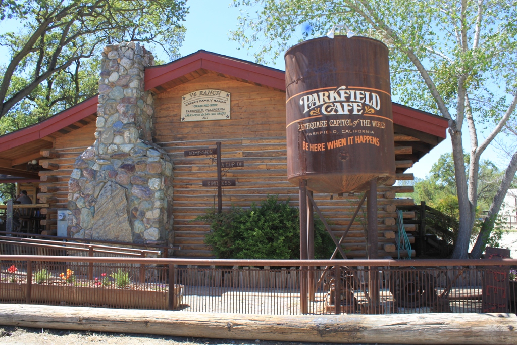
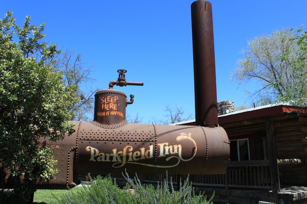 The Cafe is very good, by the way. It’s also your only choice …
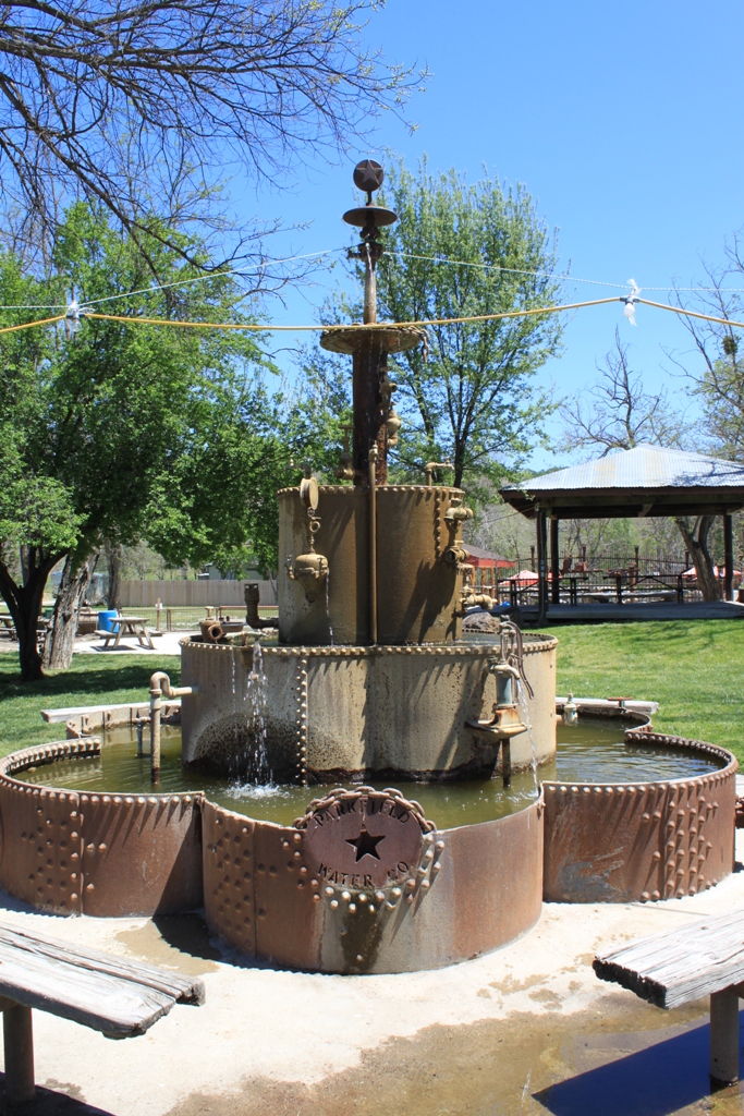
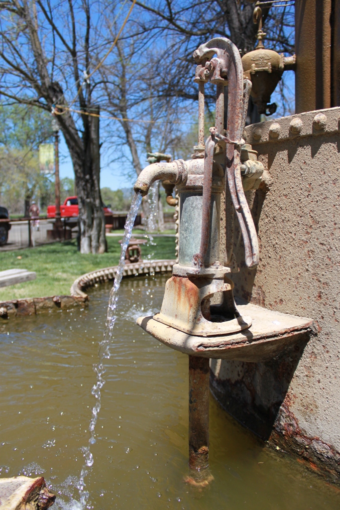
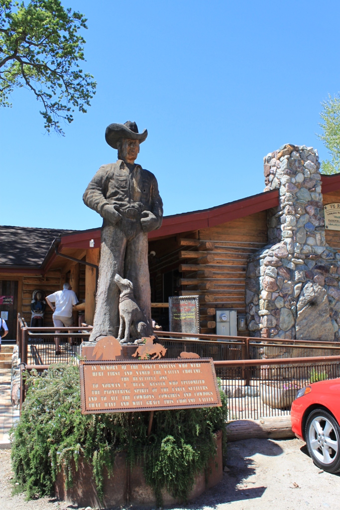 There is a public park in town with a unique water fountain made of old water pump parts.
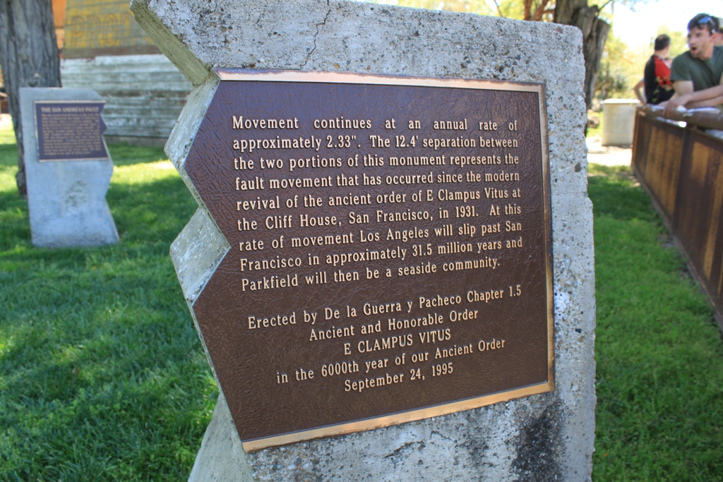
 And of course, a monument to the San Andreas earthquake. The distance between these two pieces of the monument mark the distance the fault has moved since 1931.
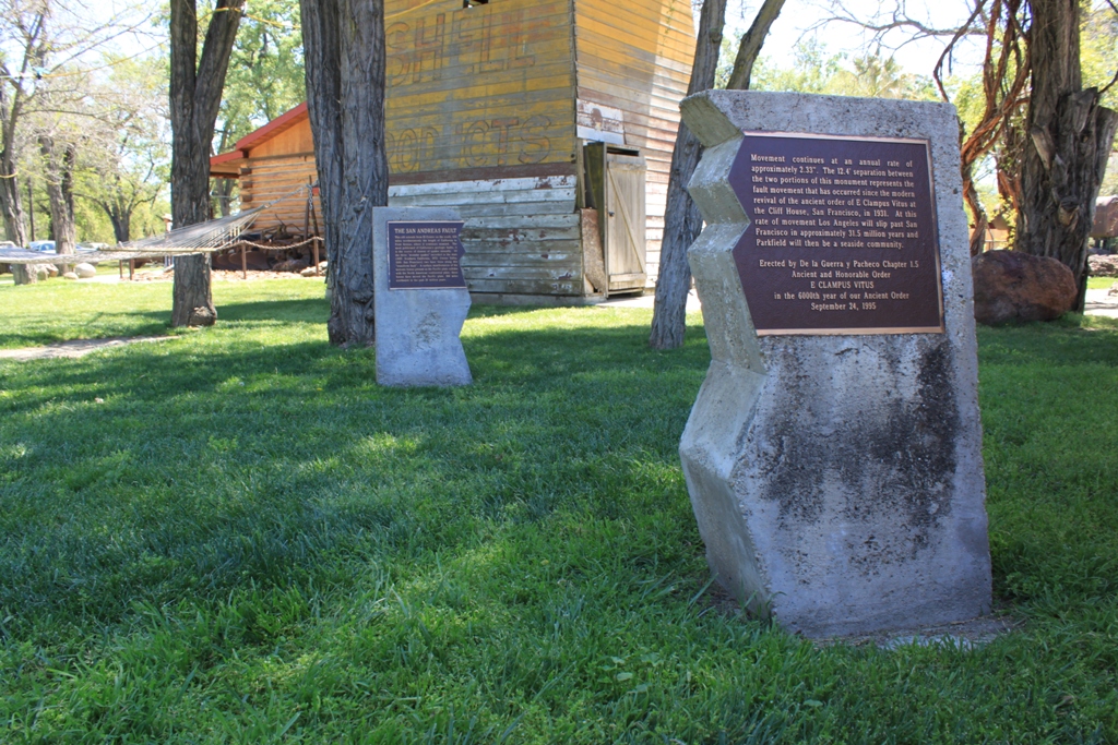
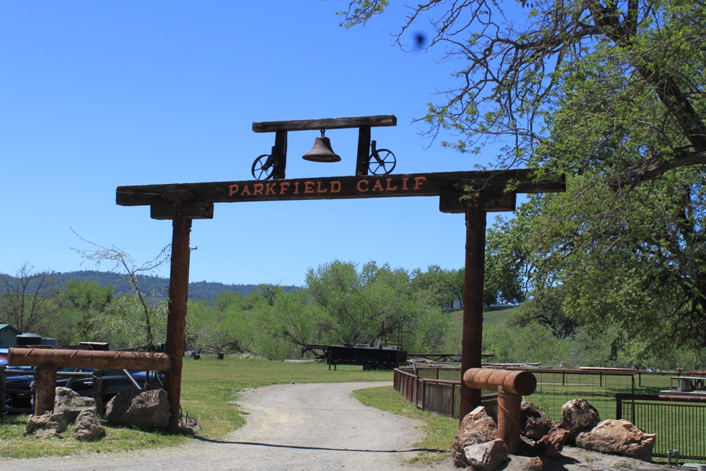
 Besides the San Andreas Fault, Parkfield’s other claim to fame is an annual bluegrass festival held on Mother’s Day. There is also the V6 Ranch where you can stay and vacation at a working cattle ranch and more.
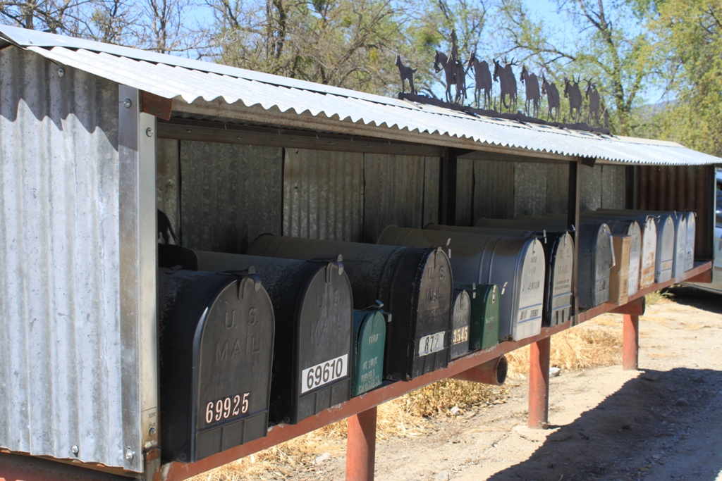
 And here are the mailboxes … because I have a thing for photographing rural mailboxes … Notice the cool iron work on top. There’s a lot of this iron work displayed in Parkfield.
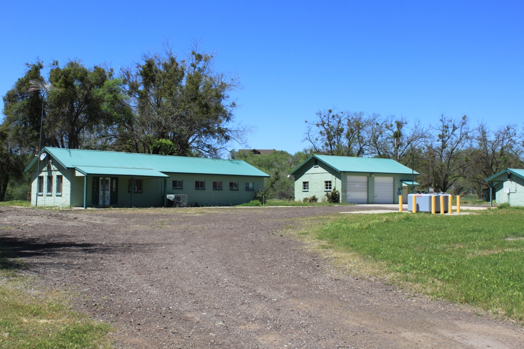
 At the edge of town is the USGS office with a bulletin board outside that politely tells you to go away, there’s not much else to see here – except the bridge ….
 At the south end of town is the famous bridge that crosses the fault line. In Parkfield, the fault is manifested as a seasonal streambed.
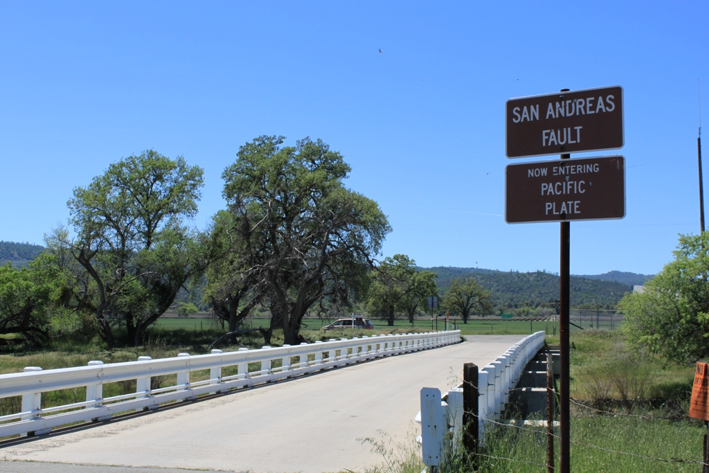 The bridge has to be periodically rebuilt as the fault continues to creep along. It appears to have been rebuilt somewhat recently as I have seen pictures with the creep much more distinct than this, but if you look down the guardrail, you will see how the bridge is crooked …
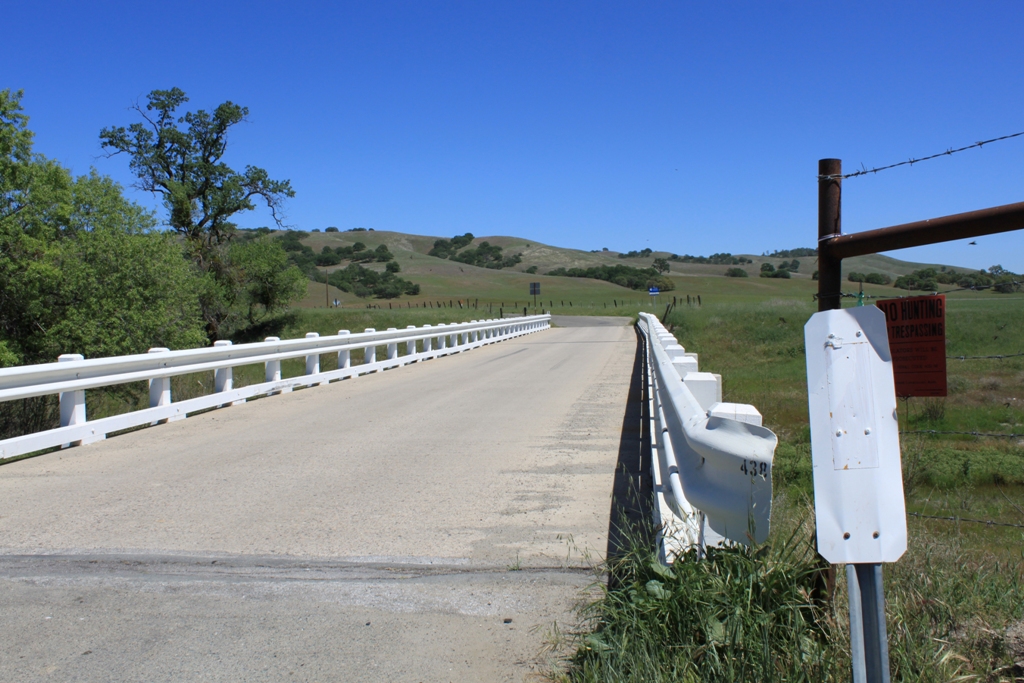
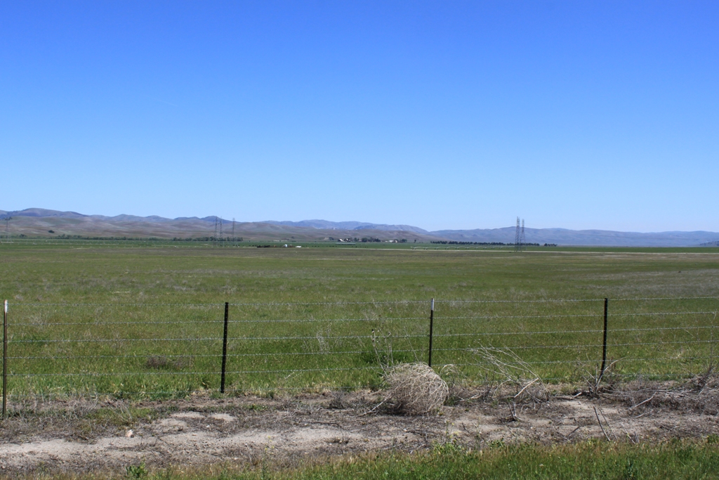
 That is pretty much all there is to Parkfield. Blink and you’ll practically miss it. And so we continued south. The terrain flattens out as we drive south through the Cholame Valley towards SR-41.
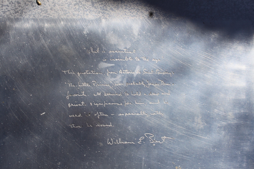
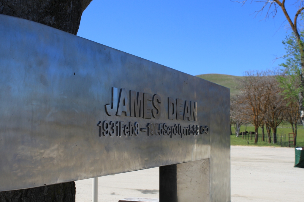
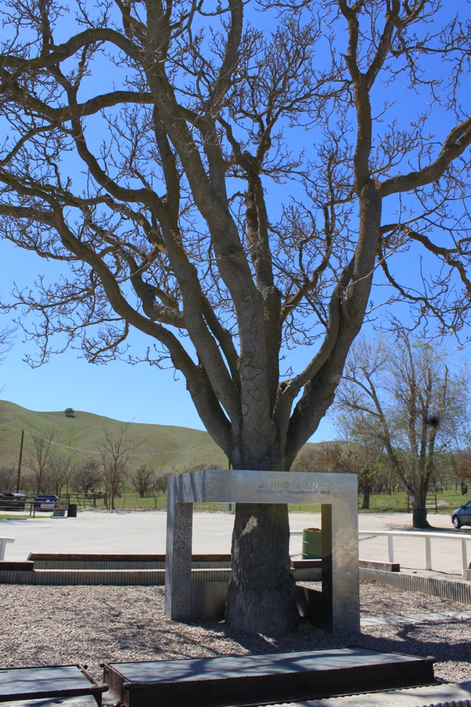
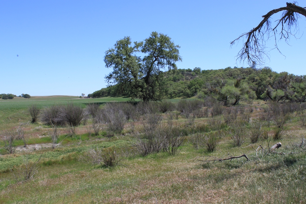 If you are down this way, be sure to stop at the Jack Ranch Cafe where you will find a memorial to James Dean. Also note that the 41/46 junction down the road was named the James Dean Memorial Junction in 2002 in honor of the place where the legendary actor lost his life.
 We take a brief jaunt over from Cholame Road to Bitterwater Road to continue our trip down the fault zone. This looks like a feature of the fault to me.
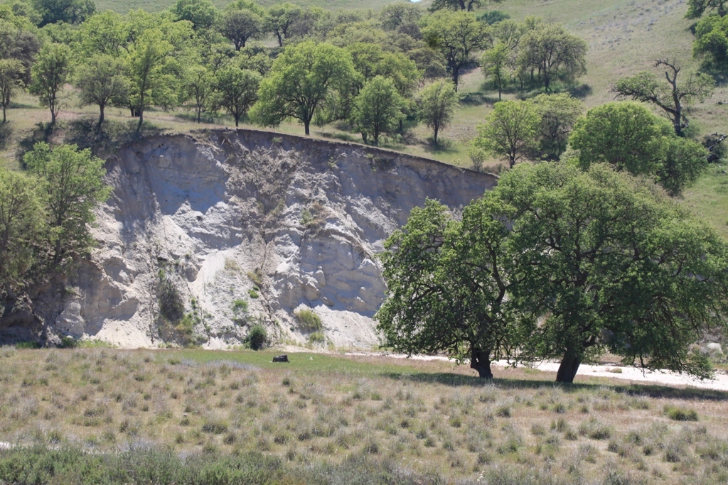 Also, the guidebook says to look for slumping of the hillsides as another sign of the fault in this area. We do see some of that dotting the hillsides.
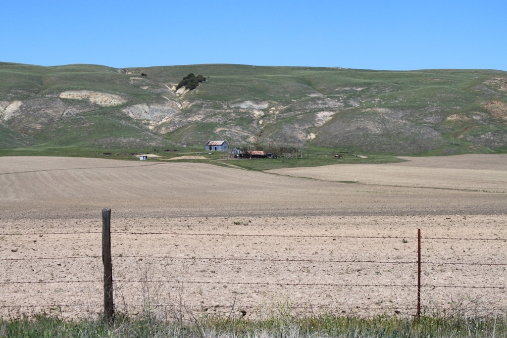
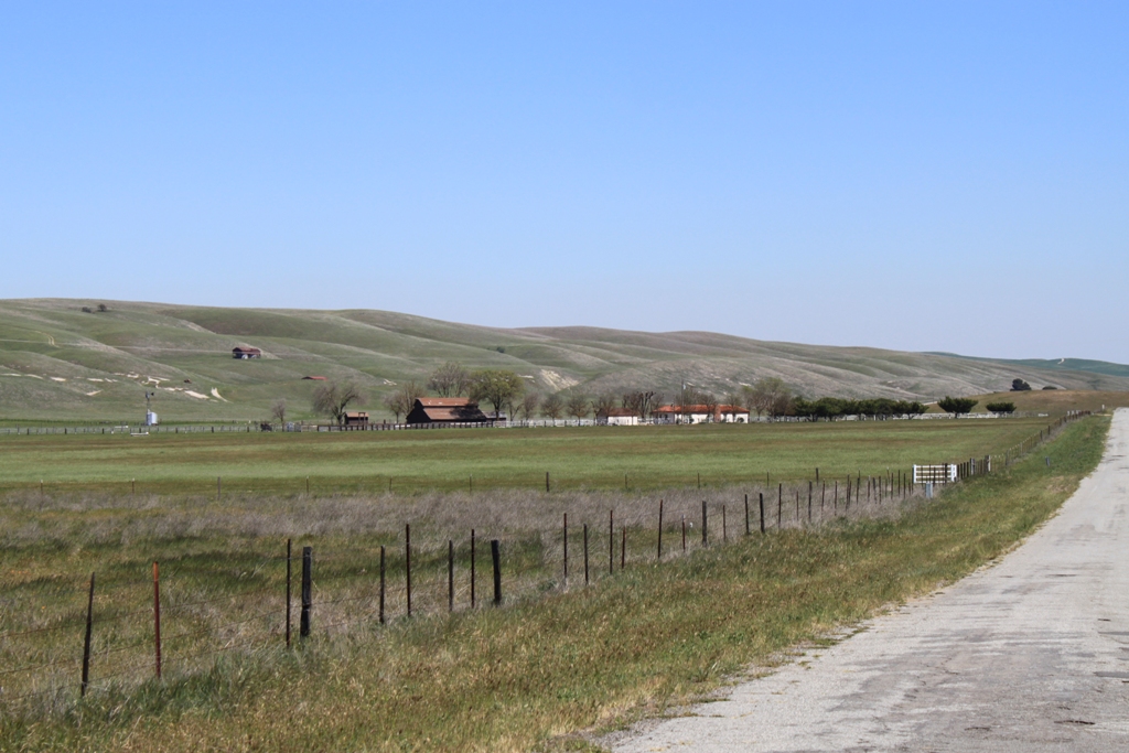
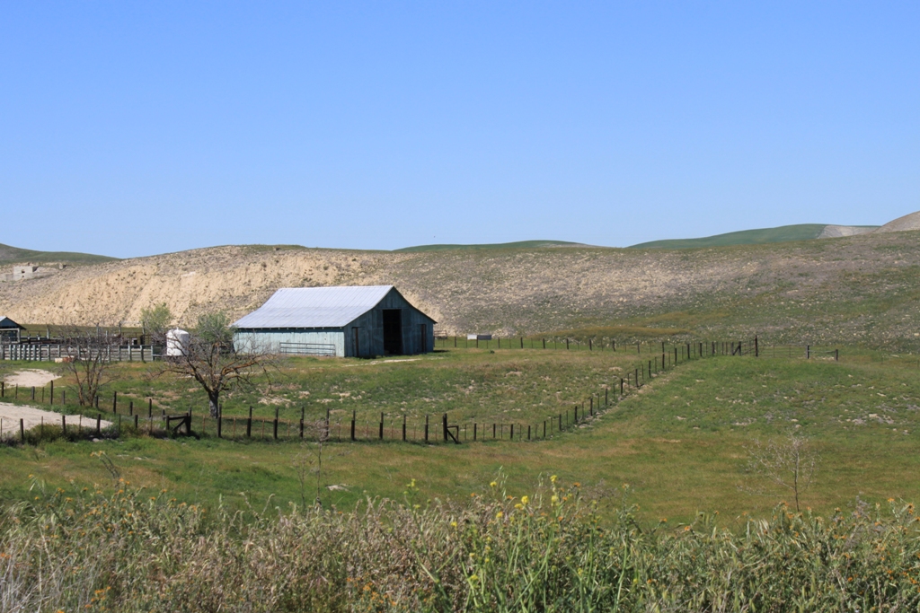
 There are more cows and more ranches here, and again, we are by ourselves, without another car joining us on this road.
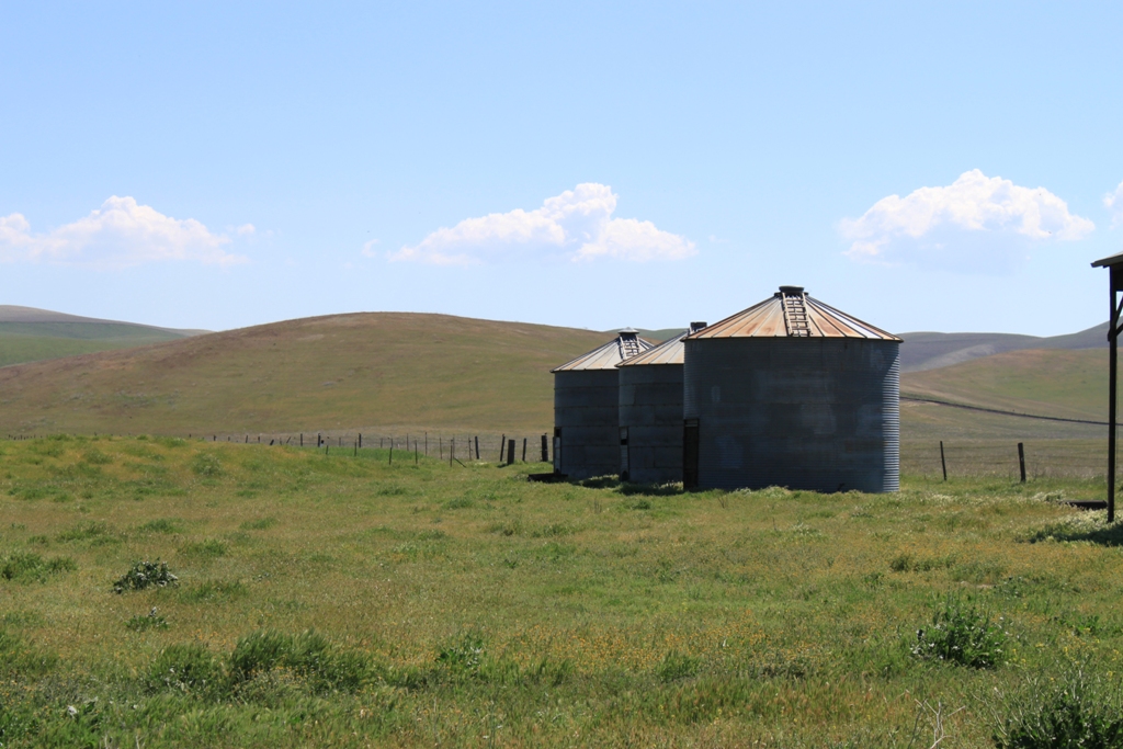
 This lone oak tree reminds me of some investing company’s logo …
 I thought this was interesting how the vegetation turns abruptly from green to brown in almost a definitive line.
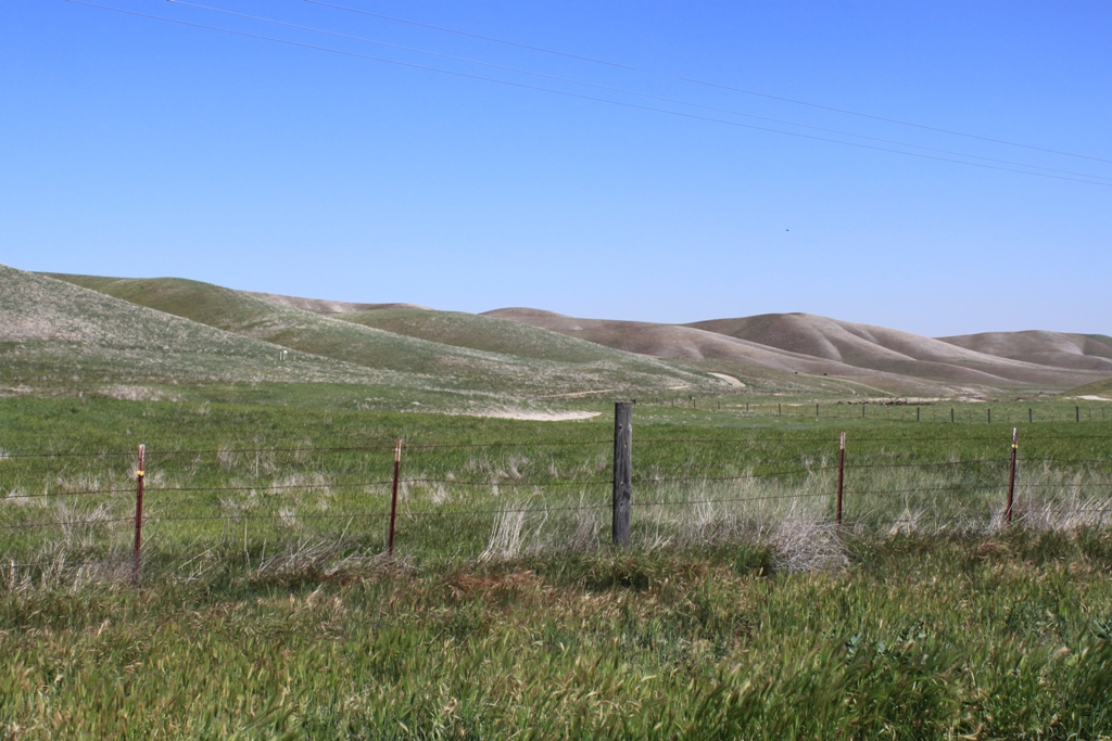 Eventually the road flattens out. We are nearing the 58 and the Carrizzo Plain.
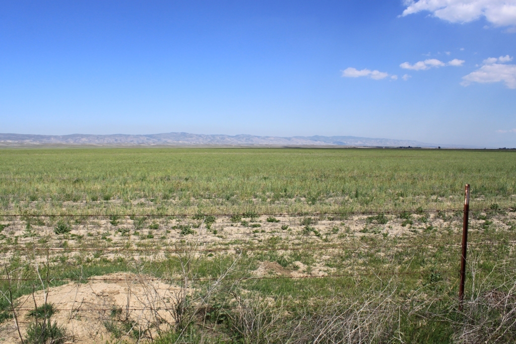 Just to add mystery, along the way, we find this fenced-off facility, warning us to keep out. Obviously, this is where the UFOs are … ’nuff said.
For more on Parkfield:
- Click here for an article on Parkfield from Travel & Leisure Magazine.
- Click here for information on the annual Mother’s Day bluegrass festival.
- Click here for the V6 Ranch.
For more on this part of the San Andreas Fault:
- Click here for a page on the geology of the fault in the Parkfield area from About.com.
- Click here for information on the Parkfield Earthquake Experiment.


Thanks for the awesome pics and narration. Can you tell me how long it took you to drive through Parkfield? (Mainly, I-5 to the San Andreas Fault bridge/sign)