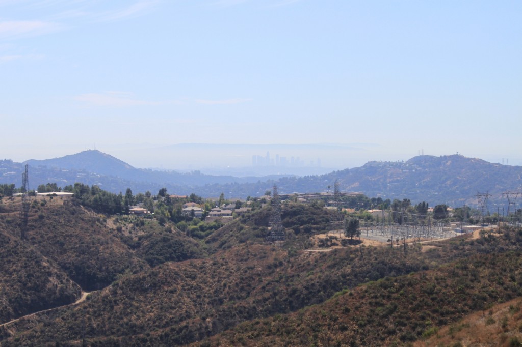
Back in October, we took a short trip over the Angeles Crest Highway from La Canada to Wrightwood. It was a day and a half of travel, and our purpose was to not only check out the scenery and to visit Mount Wilson, but also to look for features of the San Andreas Fault. Click here for the post on Mount Wilson; the pictures related to the fault will be posted at a later date. In this post, I have arranged the pictures taken over the two-day trip in geographical order, which is why I am starting with this not-so-impressive picture, which is at the start of the Angeles Crest Highway overlooking La Canada.
The Angeles Crest Highway crosses the rugged terrain of the San Gabriel Mountains. It is a popular with motorcycles on the weekends. Perhaps not surprisingly, the road has a high number of single vehicle and motorcycle accidents. We traveled on Sunday heading east and away from Southern California so we had the road mostly to ourselves.
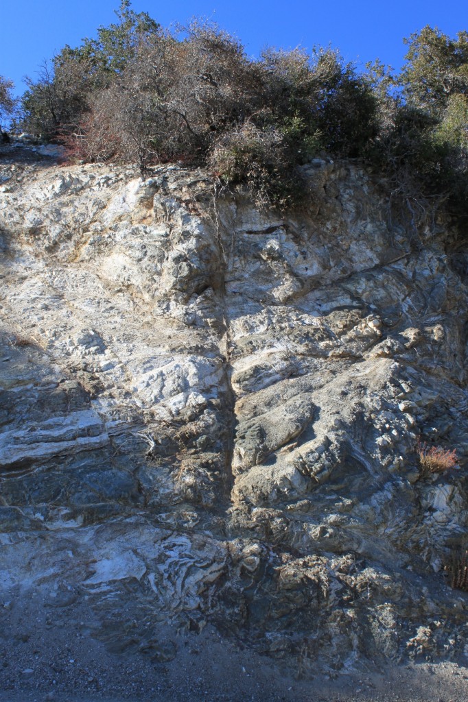
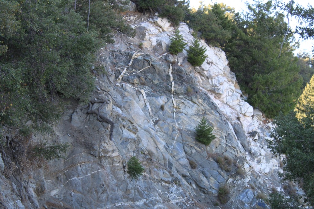
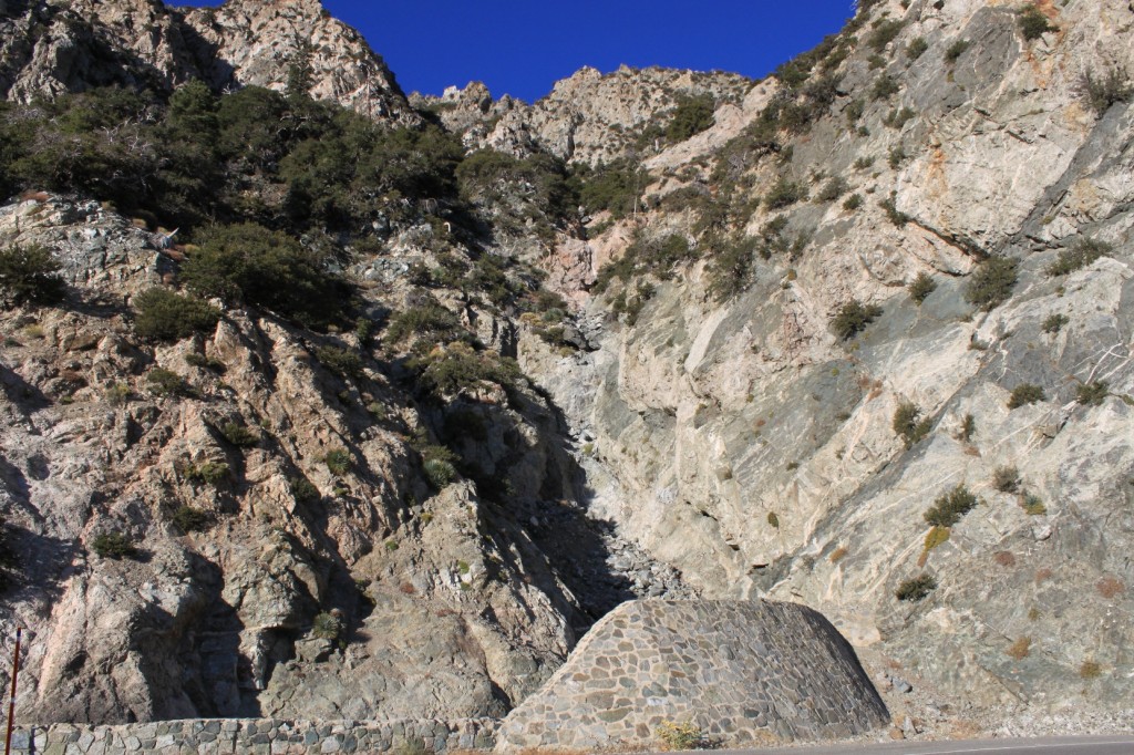
The road cuts are fascinating, showing a geologic history too complex for me to summarize, so here’s a webpage if you want to know more about the geology of the San Gabriel Mountains.
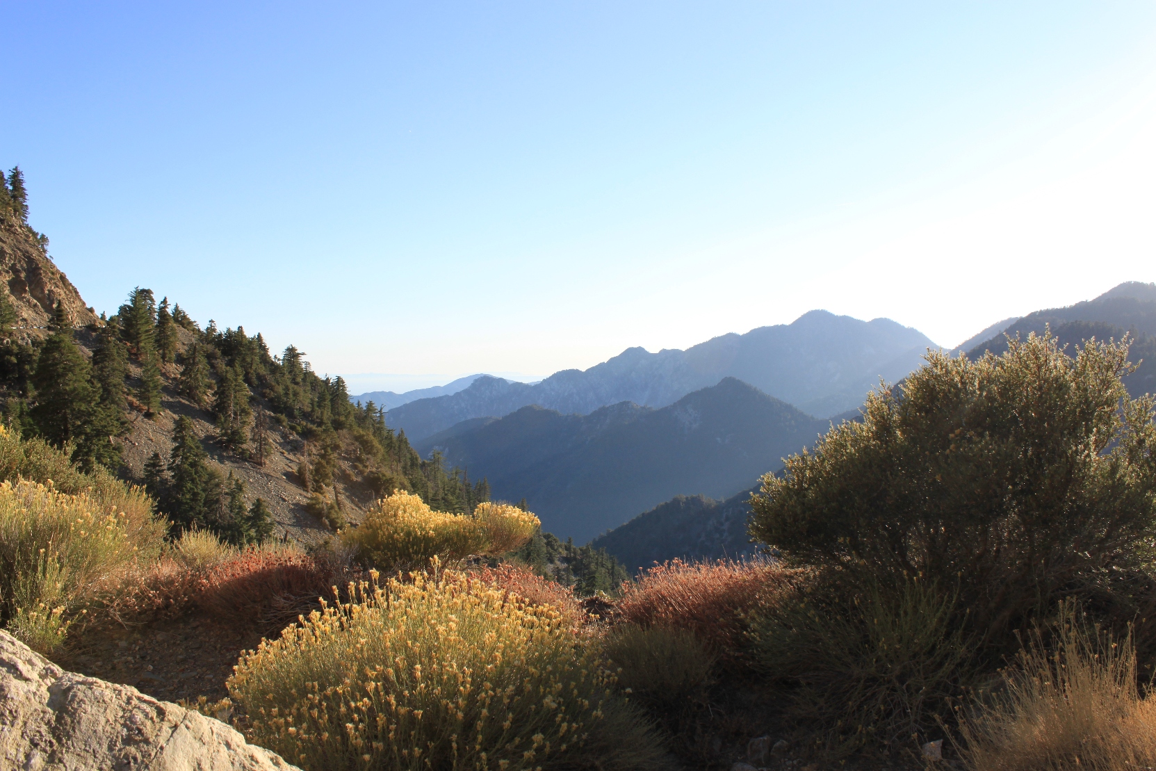
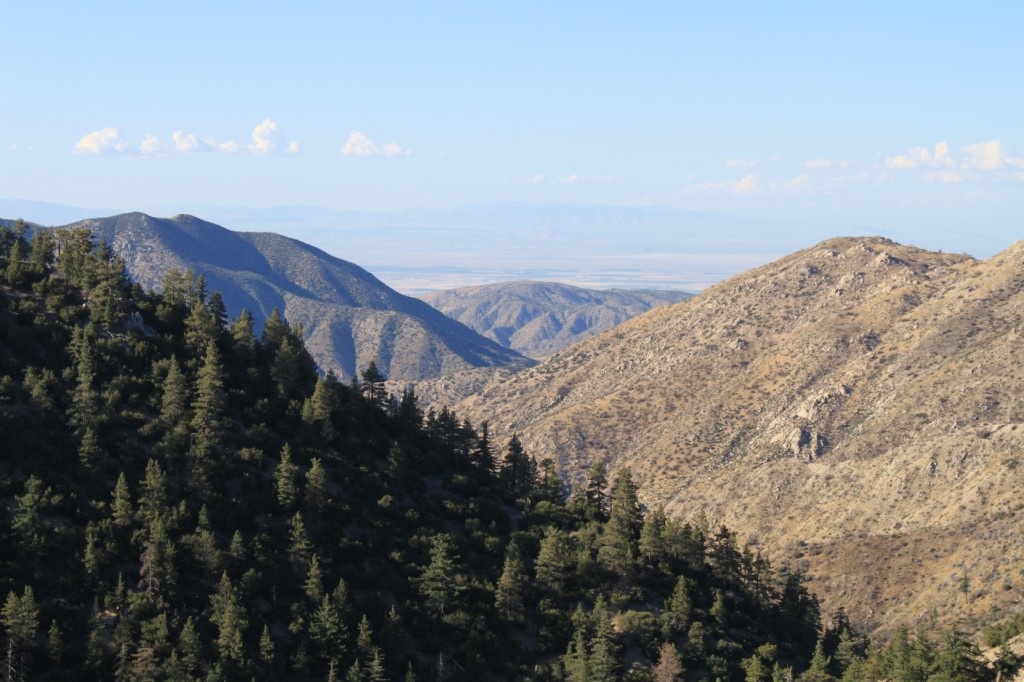
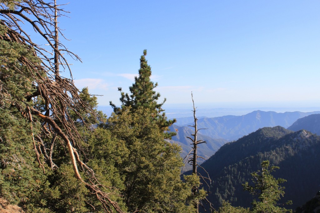
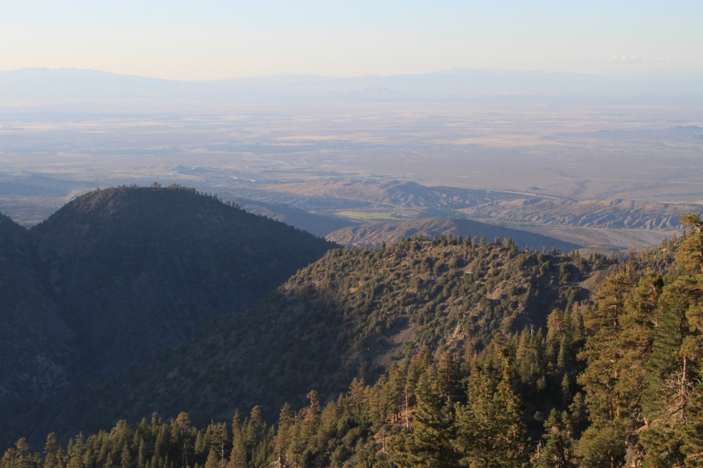
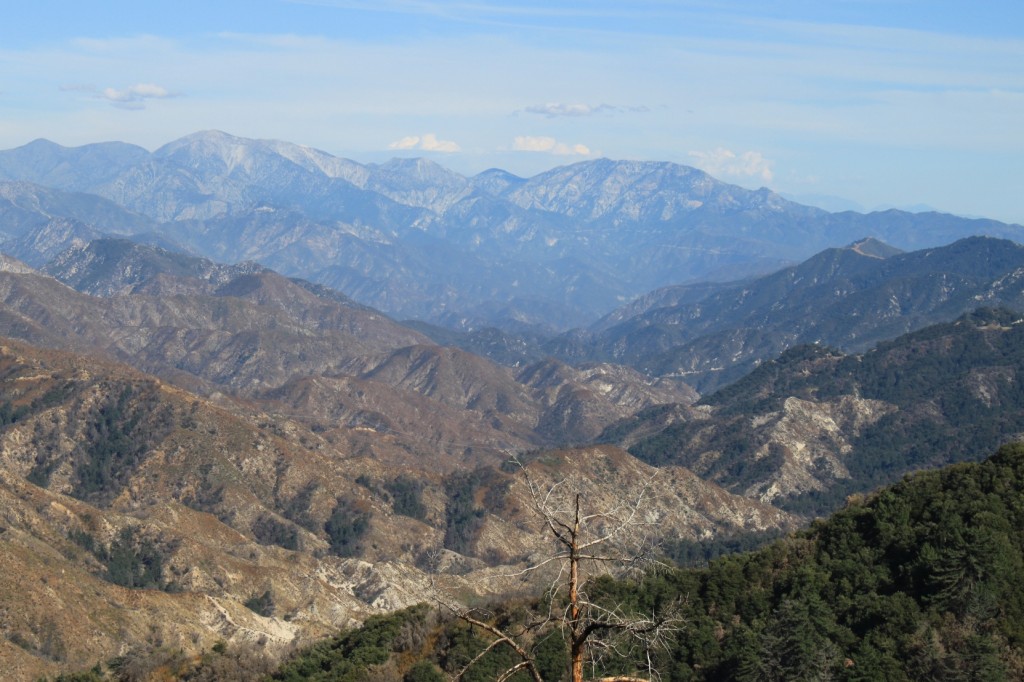
The San Gabriel Mountains rise to over 10,000 feet, and as you travel along the highway, occasionally you can see the Antelope Valley in the distance.
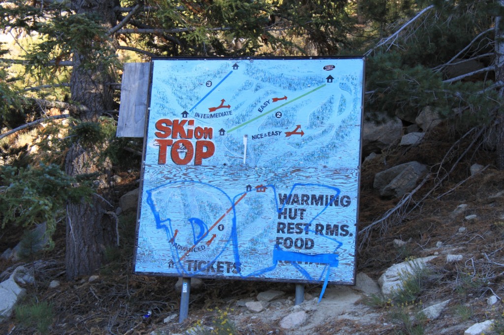
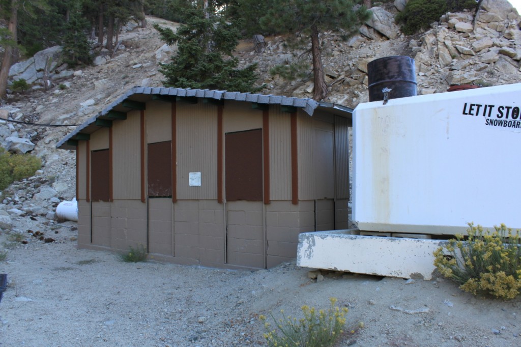
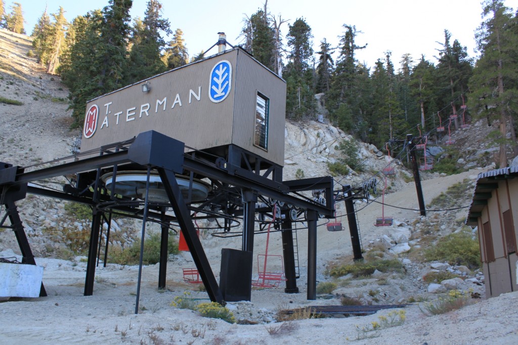
Midway along the route is the Mount Waterman Ski/Snowboarding Area.
The facilities here are more modest than Mountain High, but the lift ticket prices are less, especially for teenagers. You can check out the Mt. Waterman website here: http://mtwaterman.org/
Mt. Waterman is higher in elevation than Mountain High, and it doesn’t look like they use any snowmaking equipment. (I grew up on real snow, so I consider that an advantage!)
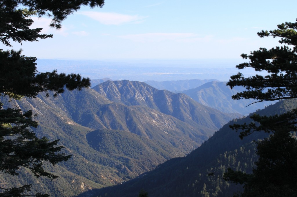
Further on, you can see the Inland Empire in the distance.
The San Gabriel Mountains are bounded on all sides by faults and the rocks show their tortured geologic history. Constantly crumbling and being washed down the hill, dramatic steps are necessary to keep the rocks and debris off the roadway. Even so, after heavy rainstorms, it is not unusual for the road to be closed for weeks at a time, and a portion of the road is closed during the winter.
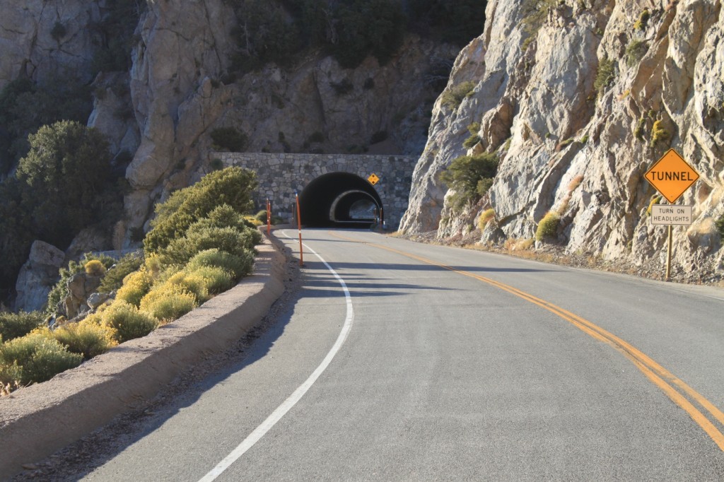
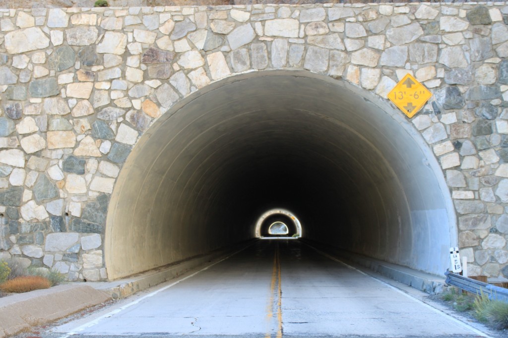
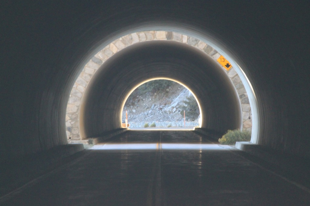
Here, the road passes through two tunnels.
It made for a little photographic fun …
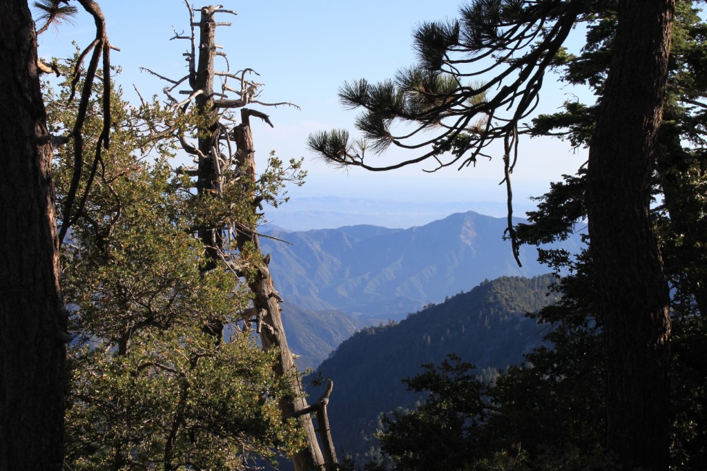
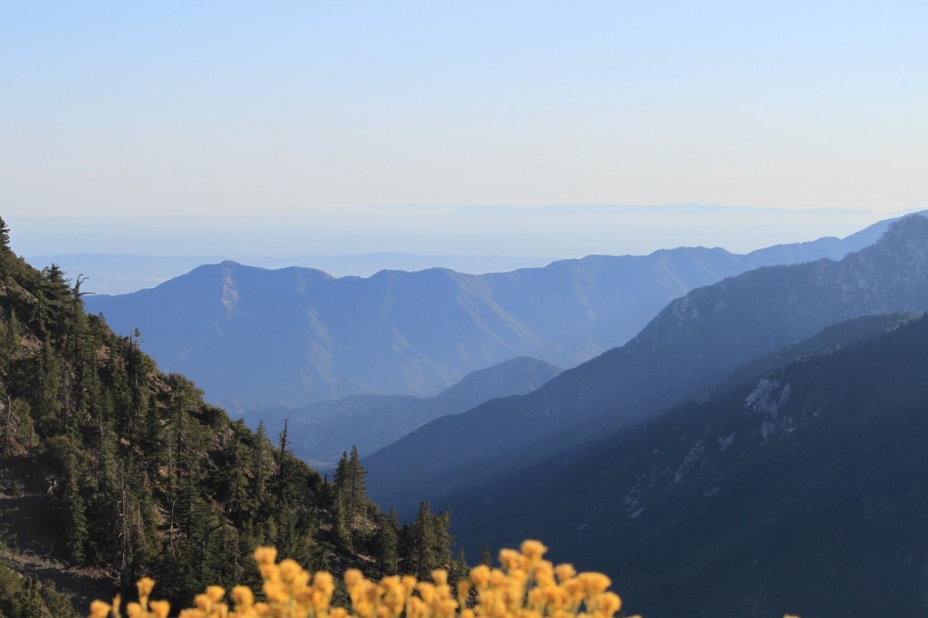
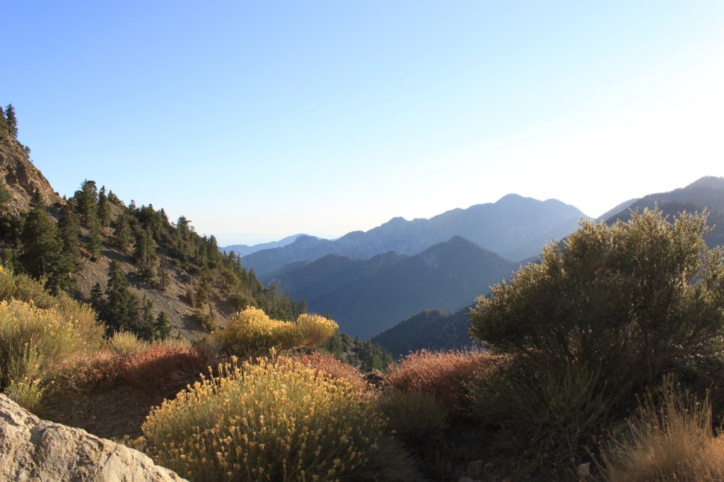
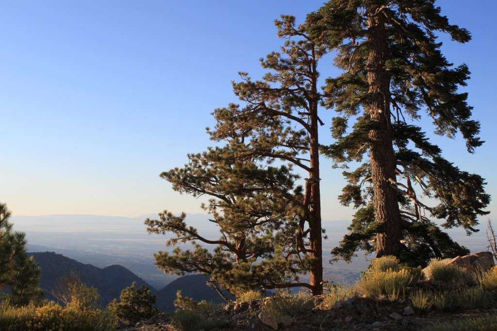
Here are a couple of shots of the high country taken around the same area as the tunnel.
At Dawson’s Saddle, the elevation is 7903 feet, the highest point along the Angeles Crest Highway.
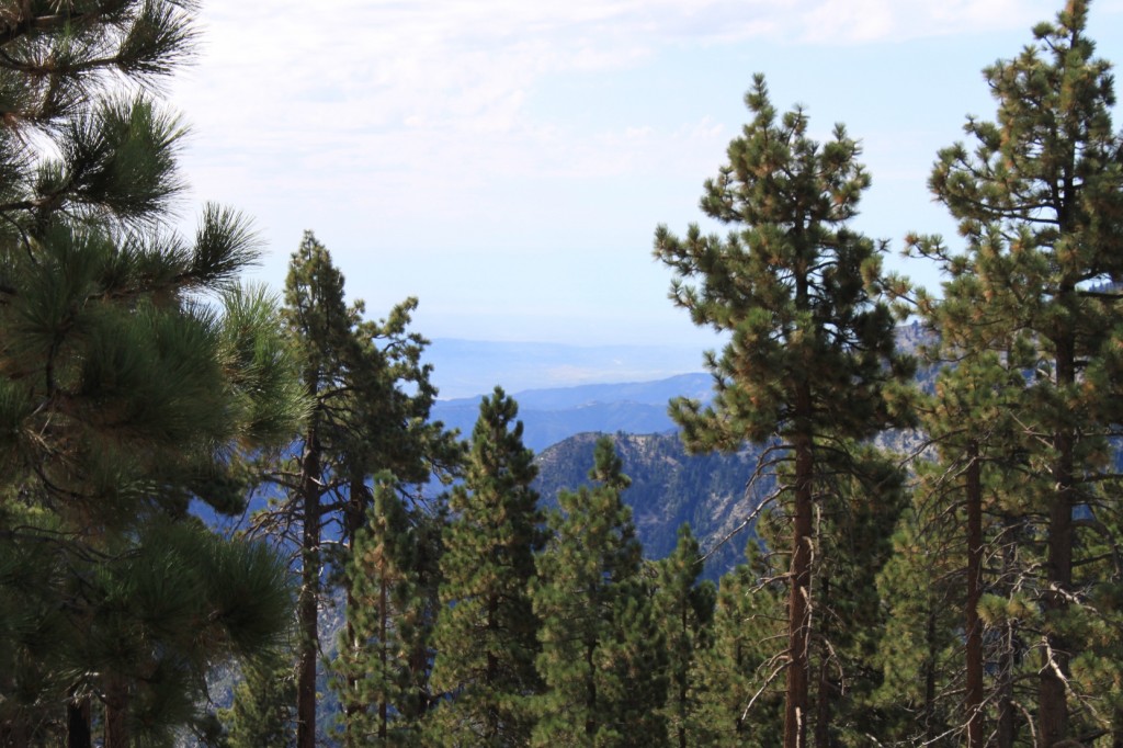
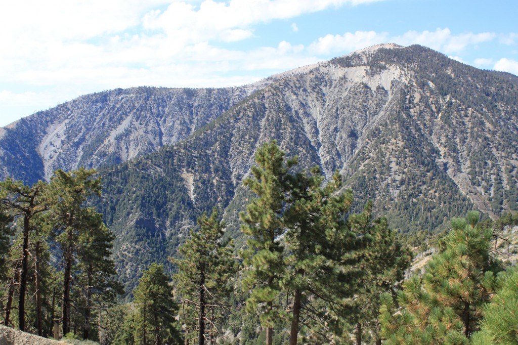
These two pictures were taken further east from Dawson’s Saddle.
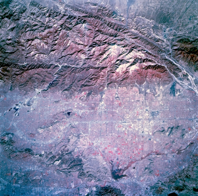
The San Gabriel Mountains are traversed by deep canyons that are cut into highly fractured rocks. The sides of most of these canyons are blanketed by unstable rock debris. This debris is stripped by constant slope failures, and runoff is constantly carrying out the sediment to the front of the range, dumping it onto the alluvial fans.
Here is a USGS shot that shows the canyons of the San Gabriels and their relationship to Southern California. The foothill communities of Southern California have necessarily developed a system of drainage basins intended to catch the enormous amount of sediment that can flow onto the alluvial fans.
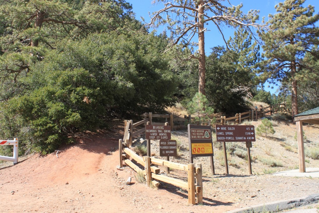
At Vincent Gulch is a parking lot where there is access to many hiking trails.
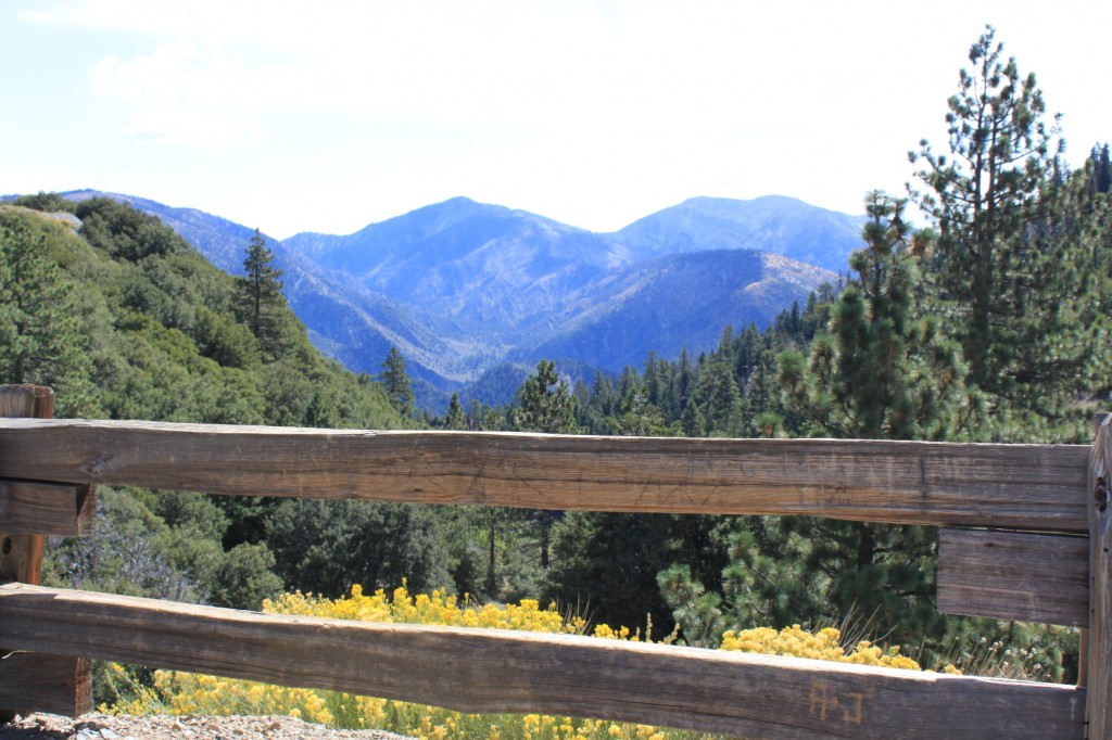
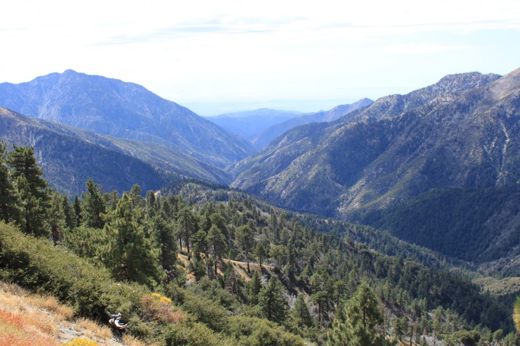
This is the view from the parking lot at Vincent Gulch.
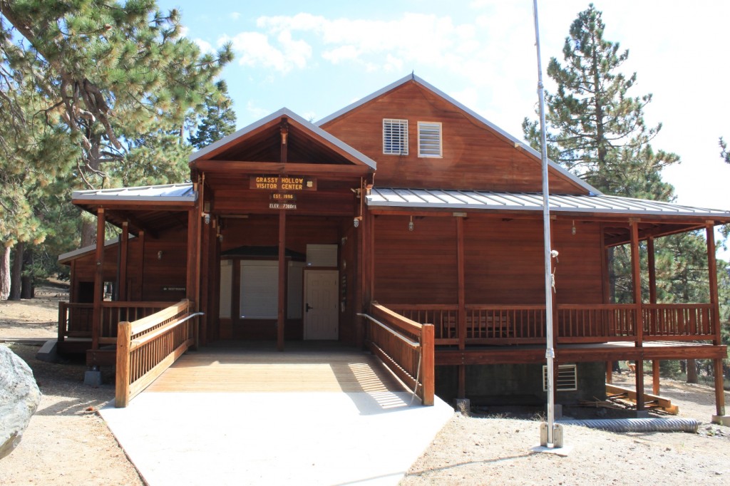
The Grassy Hollow Visitors Center is open on the weekends. There is a picnic area and a group campground here as well.
At Inspiration Point, you can look down into where the headwaters of the East Fork of the San Gabriel River.
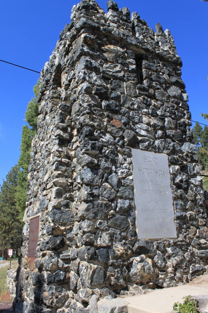
In Wrightwood, my San Andreas Fault tour guide says that the San Andreas Fault runs right through here, and that this tower marks the highest elevation that the fault reaches, although there is no plaque or anything to note this …
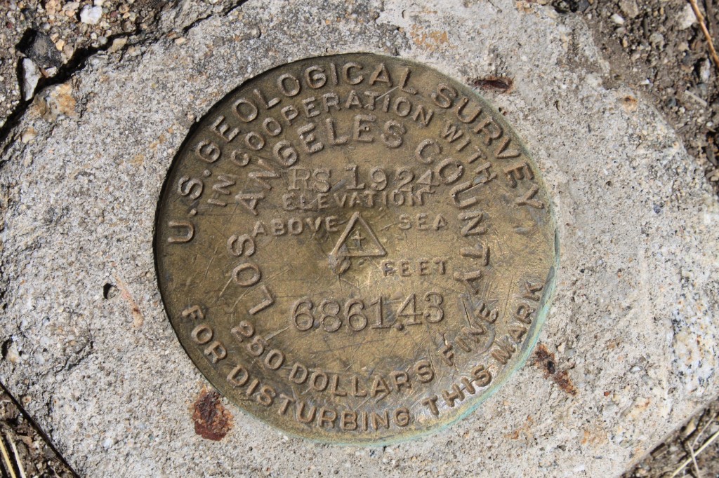
… only this USGS benchmark showing the elevation here at 6861.43 feet above sea level.
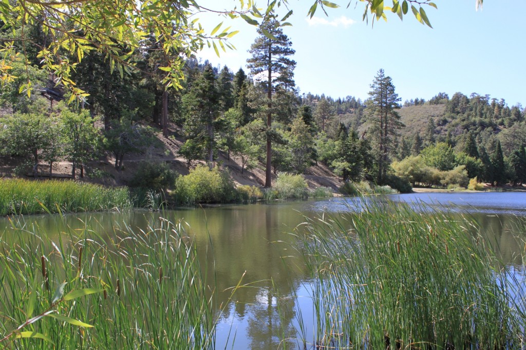
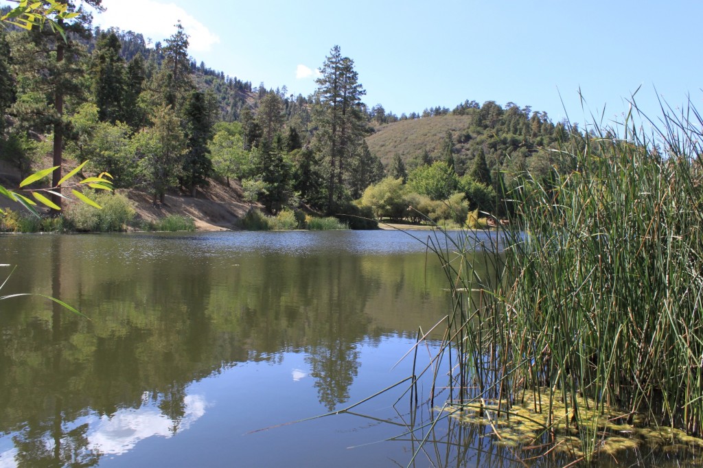
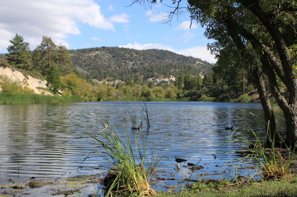
On our way back to Santa Clarita, we turned down the Big Pines Highway and traveled toward Palmdale. Along the way, we passed by Jackson Lake.
Jackson Lake is a sag pond, a natural pond formed by the San Andreas Fault which runs directly underneath the lake.
The lake is stocked with fish, and non-motorized boats are allowed on it. It is not recommended for swimming, though. There are picnic grounds here, and many campgrounds in the area.
For more information:
- Geology of the San Gabriel Mountains, by the USGS
- Angeles Crest Highway Road Guide
- Angeles Crest Scenic Byway, webpage from America’s Byways
- Ten Great Hikes on the Angeles Crest Highway, article from the Long Beach Examiner
- Mount Waterman Ski/Snowboard Area website
