The Imperial Valley is quite fascinating to me for many reasons, the biggest one perhaps being that it is as if you can look down the streets and see history. The Imperial Valley was one of the last remaining frontiers left in the West around the turn of the 20th century; these settlers endured the scorching temperatures of the Colorado Desert to work the land and turn it into the agricultural paradise that it is today. These plucky settlers figured out ingenious ways to deal with their harsh environment, and nothing represents this more than the old Plank Road.
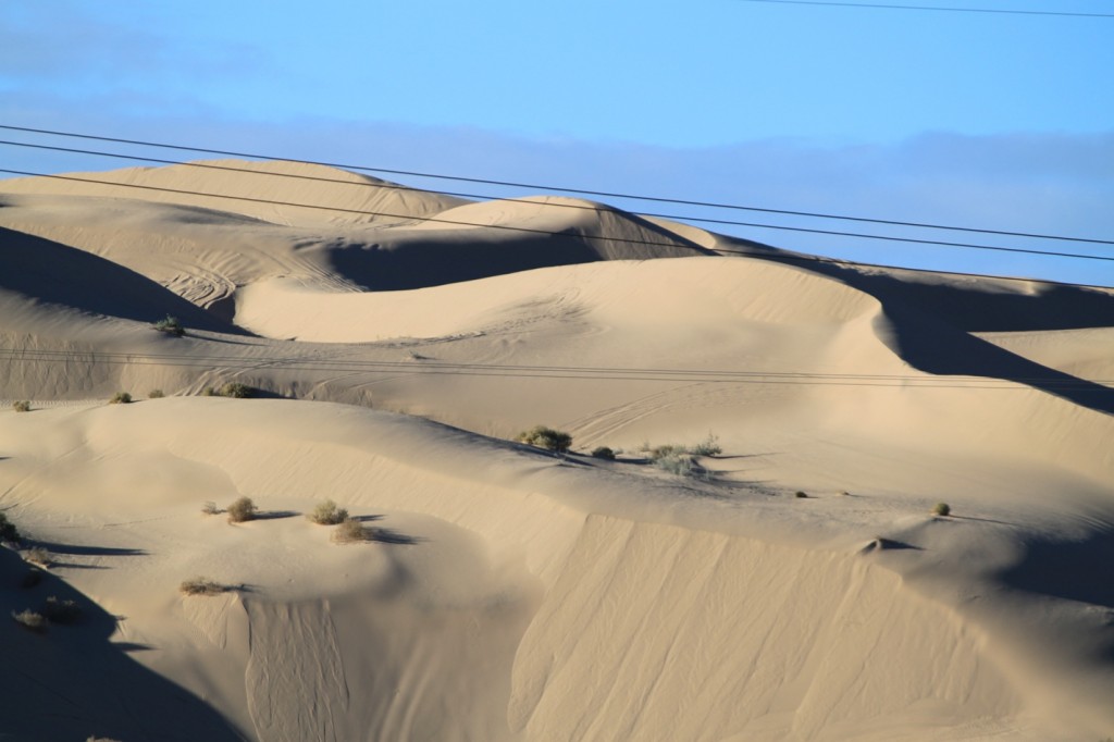
About 35 miles east of the Imperial Valley lies the Algodones sand dunes, a narrow strip of sand about 8 miles wide and eighty miles long in between the Imperial Valley and Yuma. Even though Yuma was only fifty miles away, travelers had to travel north to get around the sand dunes through some of the roughest and driest terrain, a difficult trip that doubled the miles and took two to three days. A road across the dunes would cut the distance in half and save two days of travel.
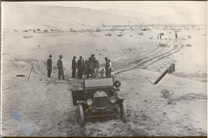
The first plank road was built in three weeks in 1912, shortening the trip to just three to four hours. The road was constructed from planks seven feet long and resembled a railroad track but for autos only. It covered a distance of six miles across the worst of the sand hills. It was a single lane road with turnouts every mile. The road was maintained by the travelers themselves, who would repair the road so it would be passable upon their return.
Travel on the road was always treacherous as drifting sand, high winds, and lack of food and water along the route. If a traveler slipped off the road, they were stuck until a fellow traveler arrived. As the road grew more popular, the trip lengthened considerably as traffic jams and fights over right-of-way on the one-lane road became more common. (Photograph below courtesy of the Coachella Valley Historical Society and the University of Redlands.)
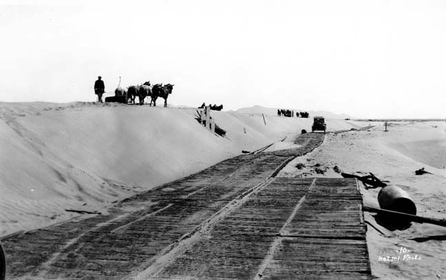
The first road lasted until 1915, and the need for a new and improved plank road was clear. In 1917, a new road was constructed that was now eight miles long with turnouts every half-mile. It was built with planks nailed to a runner and bolted together into thirty foot sections. When the drifting sand covered or undermined the road, a team of two men and four horses would simply move the road elsewhere. The road was a success and was officially adopted by the California Highway Commission in 1917. (Photograph below from the California Archives.)
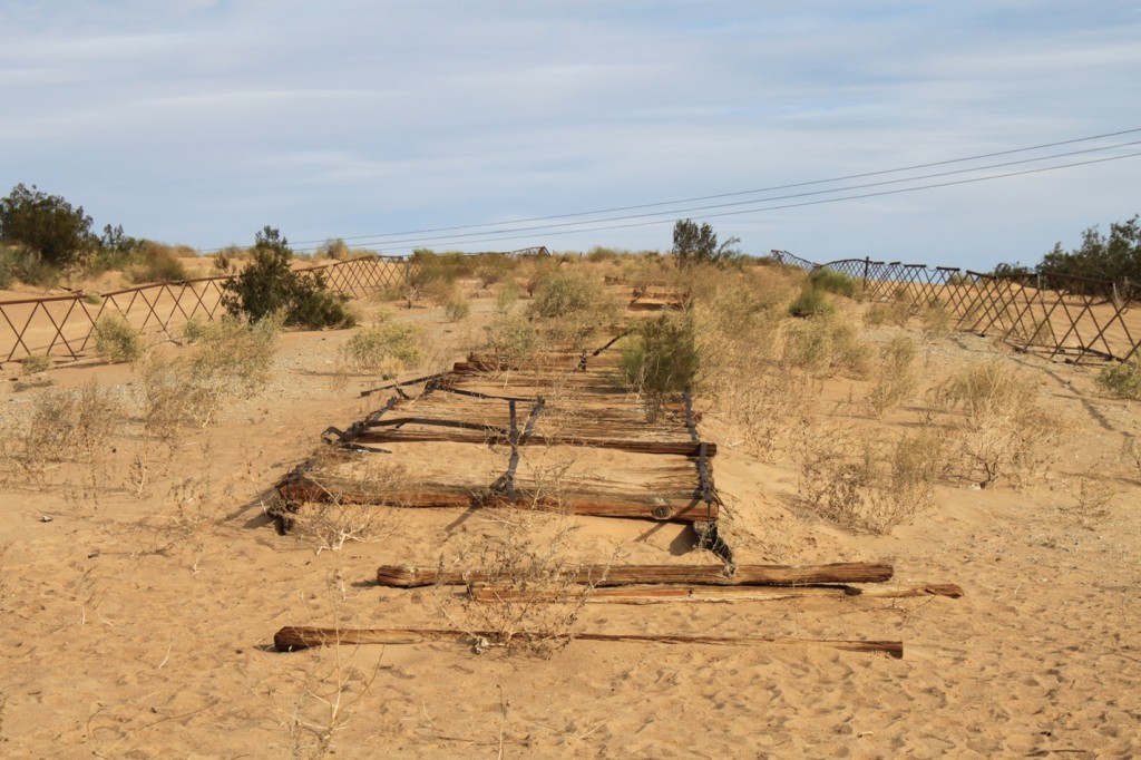
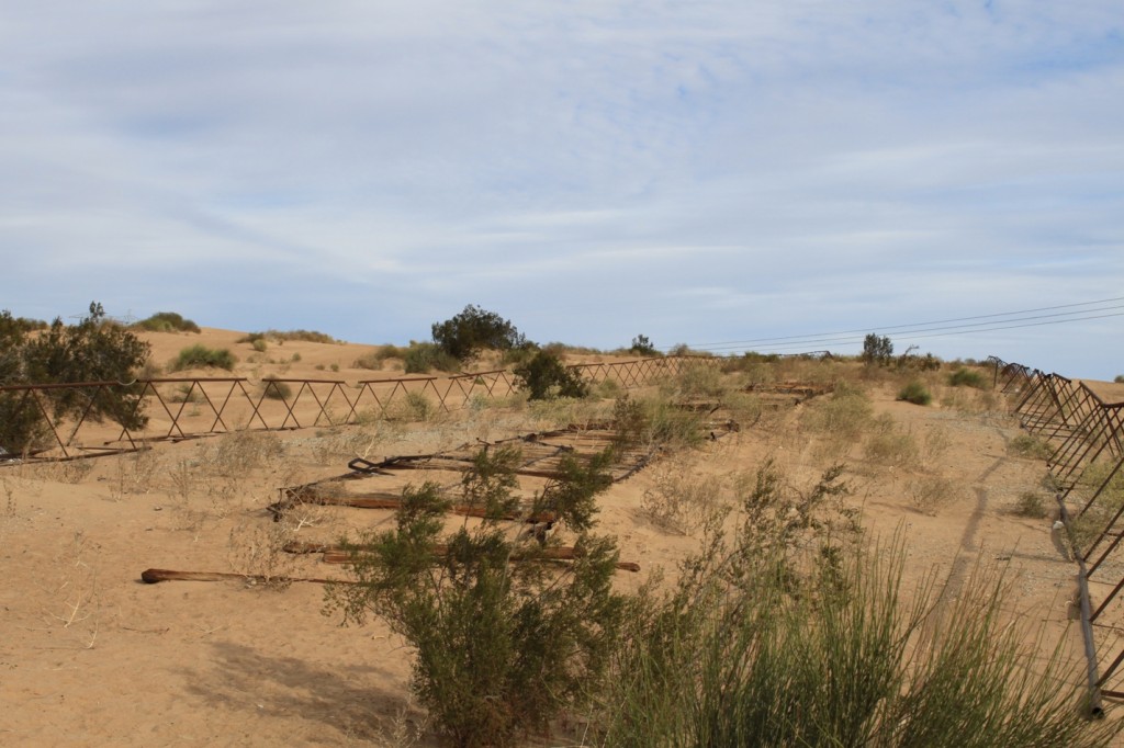
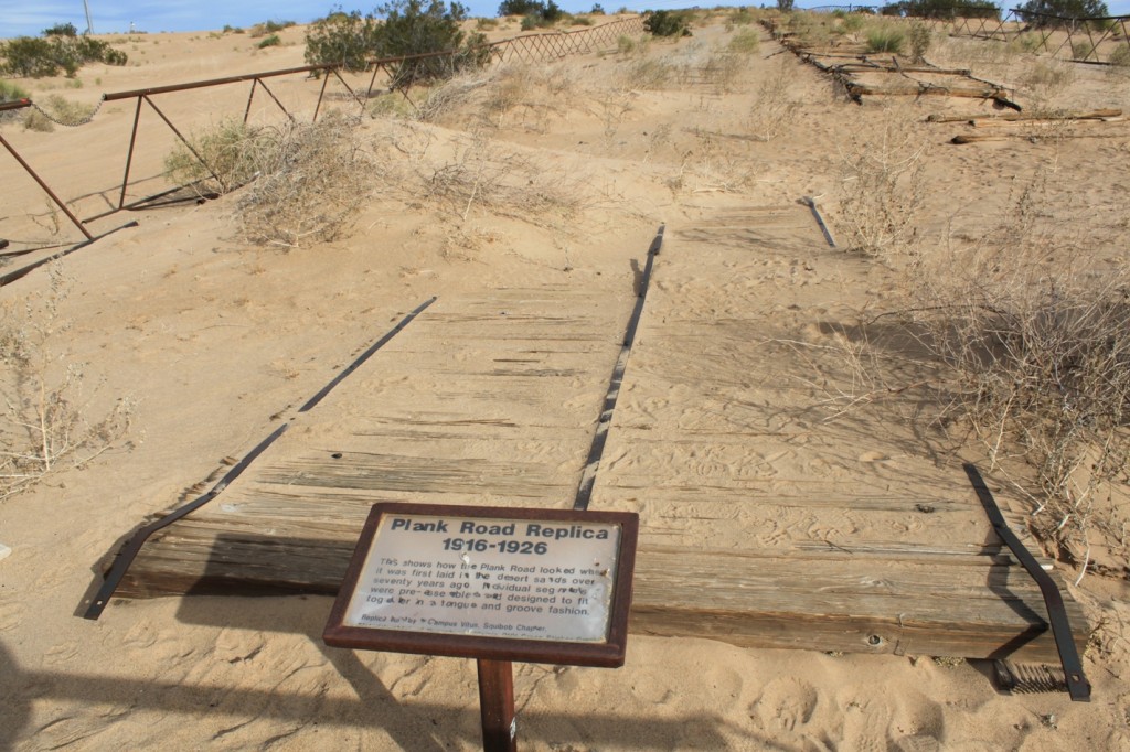
In 1927, the state constructed an asphalt road from Holtville to Yuma, and the plank road was no longer used. A remnant of the plank road is visible today at the Gray’s Well exit along I-8, close to the California-Arizona border.
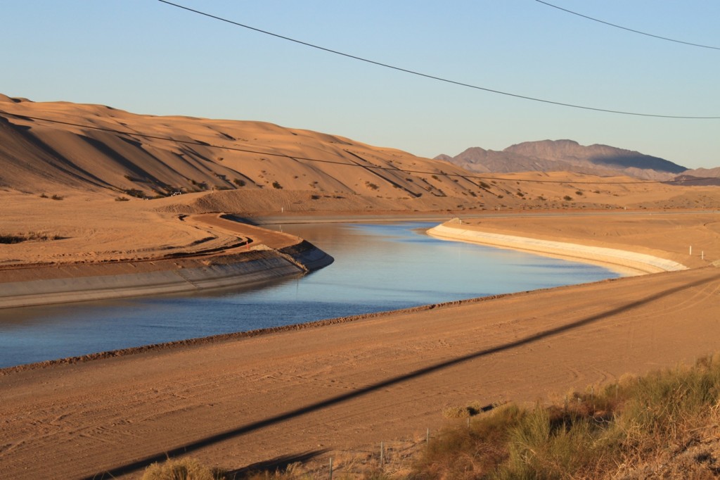
You can also see the All-American Canal on the other side of the freeway … (of course, I’m going to point out irrigation infrastructure!)
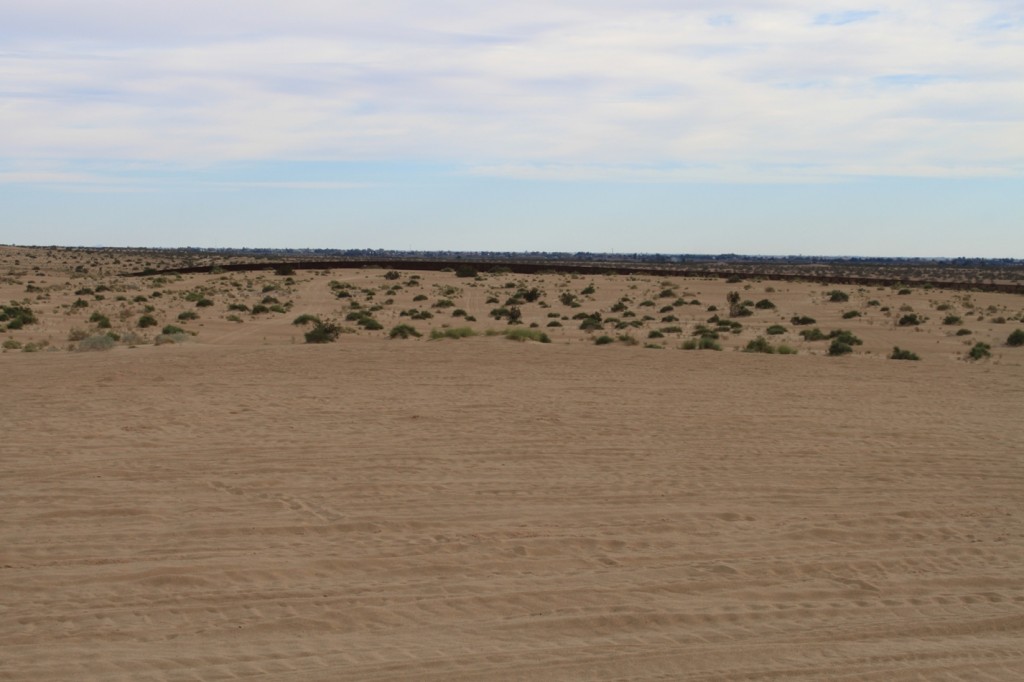
You are very close to the U.S.-Mexico border here: that is the border fence off in the distance.
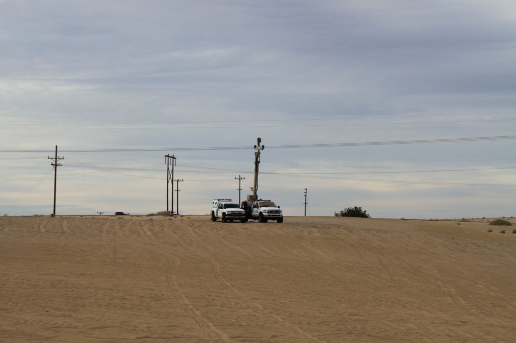
If you visit here, chances are you won’t be alone …
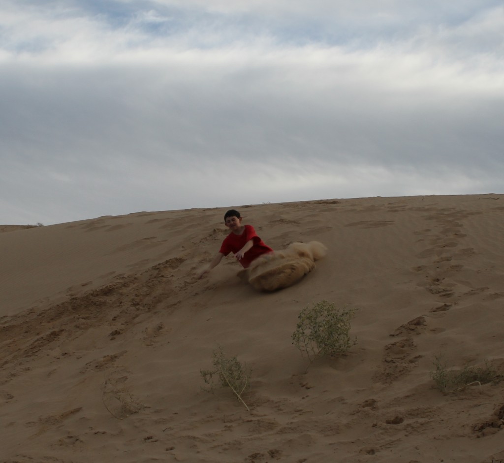
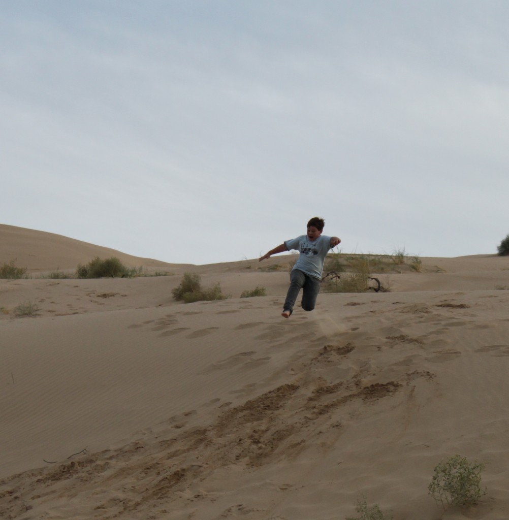
The area is quite popular for sand sports, but on the day we were here, it was the middle of the week and there were few people around. The kids enjoyed playing on the sand dunes….
So if you are traveling to Yuma along Interstate 8, check out the plank road!
For more on the plank road:
- The Plank Road, from San Diego Yesterday
- The Plank Road, from the San Diego History Center
If you want to go visit the Plank Road, exit at Gray’s Well off the I-8. Follow the road for some distance – it is close to the end of the road on your left (to the south). Here’s the map:
View The Plank Road in a larger map
I came across your blog entry today while looking at some potential road trips.
Our family travels hundreds of miles in our red Suburban. We have a great
time as a family and have started to collect ideas from our trips.
Next time you head on out with your kids for another road trip, try checking out our family road trip website, http://www.RadRoadTrips.com.
If you had any good games or activities that you did on your trip, let us know so that we can include it on our next trip!
I don’t know why this area of California is so interesting to me, but keep publishing, Chris! And thank you.
Leona says she, on her first trip to CA traveled on the olde boarded road in 1948 well after its closure.