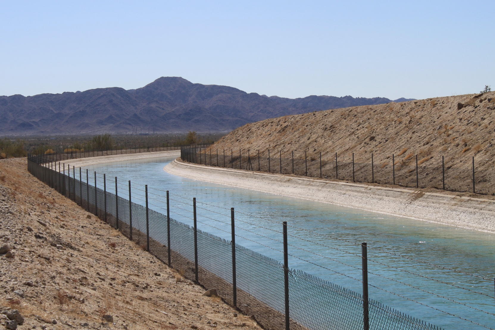
After our trip through Painted Canyon, we headed out into the desert to find the Colorado River Aqueduct. One of these days, I’m going to put together the Colorado River Aqueduct photoblog post, and I needed some pictures of the open aqueduct. This segment just east of the Joshua Tree National Park is the last portion of the aqueduct that travels by open canal.
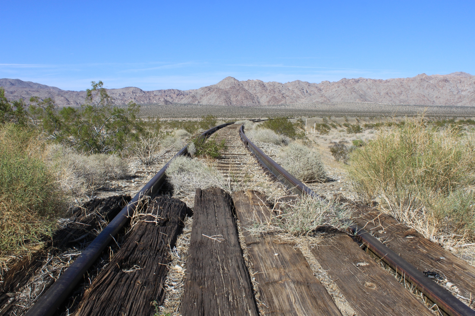
On the way, we crossed these old abandoned railroad tracks.
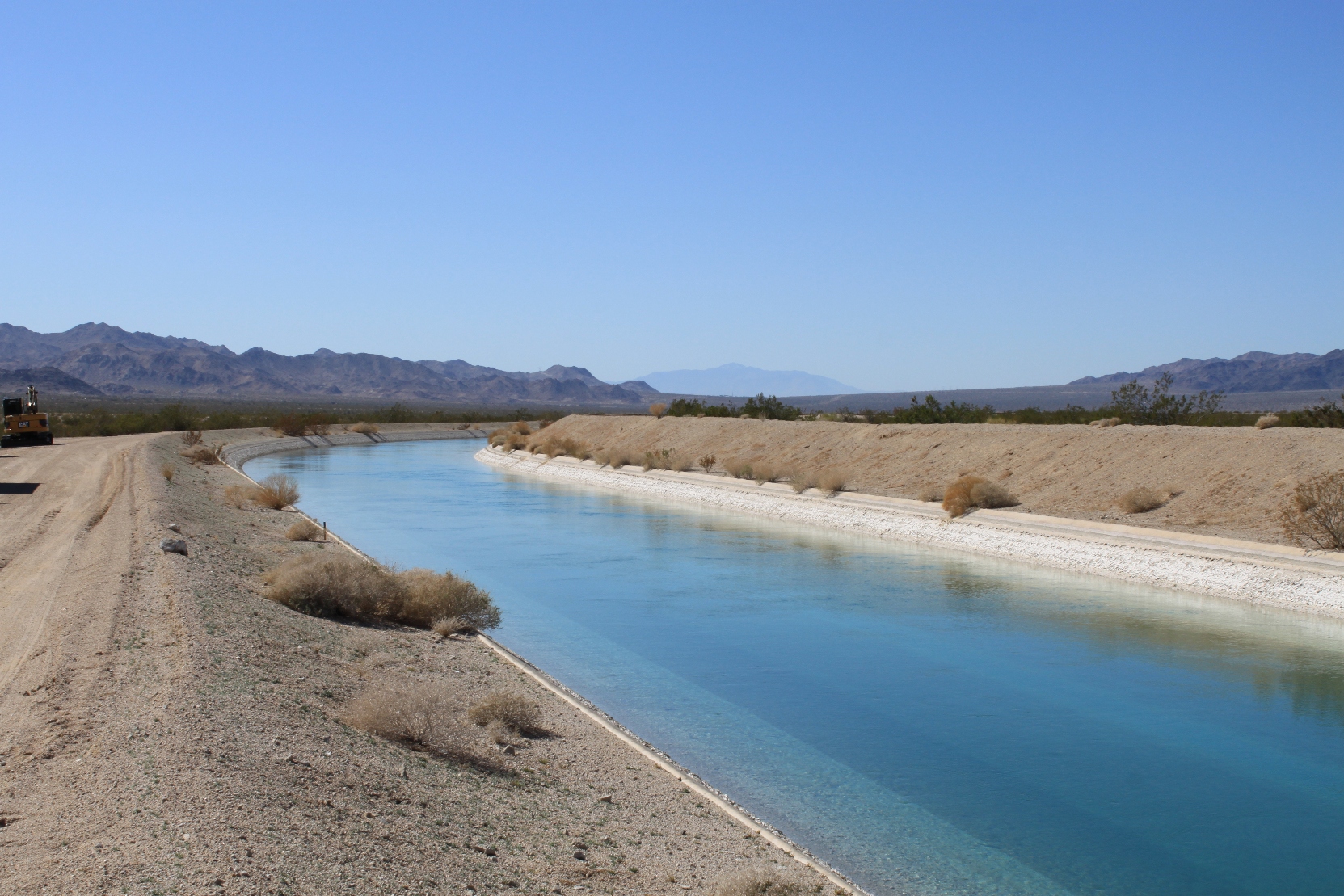
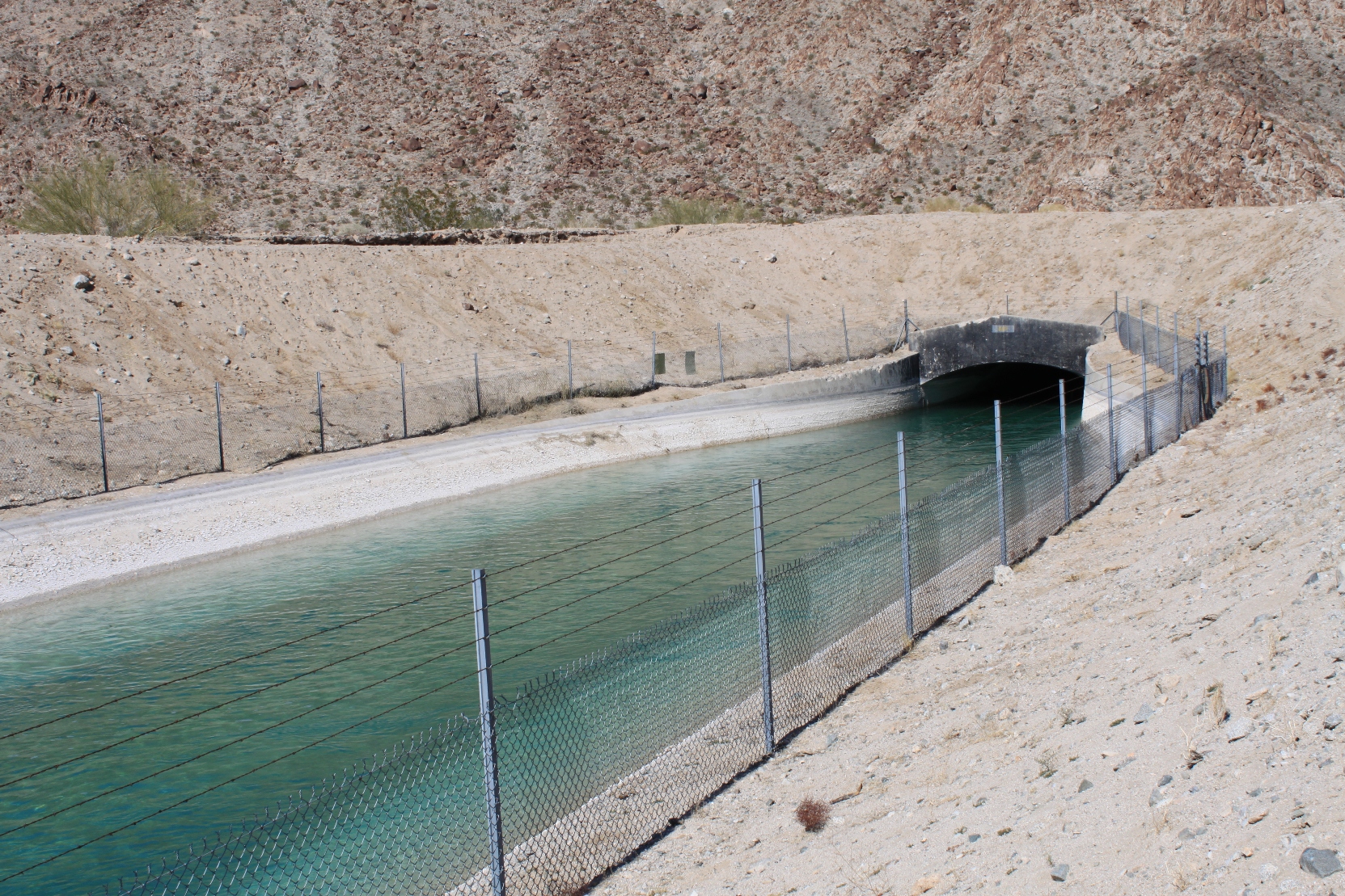
The aqueduct was easy to find. The road is a Metropolitan road which you are allowed to drive on, subject to their permission. This picture is taken from over a fenced off portion by an equipment storage area (notice heavy equipment on the left). The aqueduct is otherwise fenced an inaccessible.
We stopped here for lunch, but were soon joined by a security guard, who was pleasant enough but informed us that we couldn’t park within 65 feet of the aqueduct, so we’d have to move along. She let us know there was a spot farther down that we would be able to pull in and park, so onward we went.
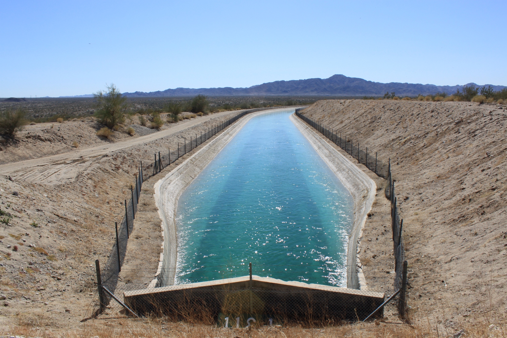
I found the parking lot and we stopped; from there I walked back to the aqueduct … and I was thrilled to find the output from the Eagle Mountain tunnel!
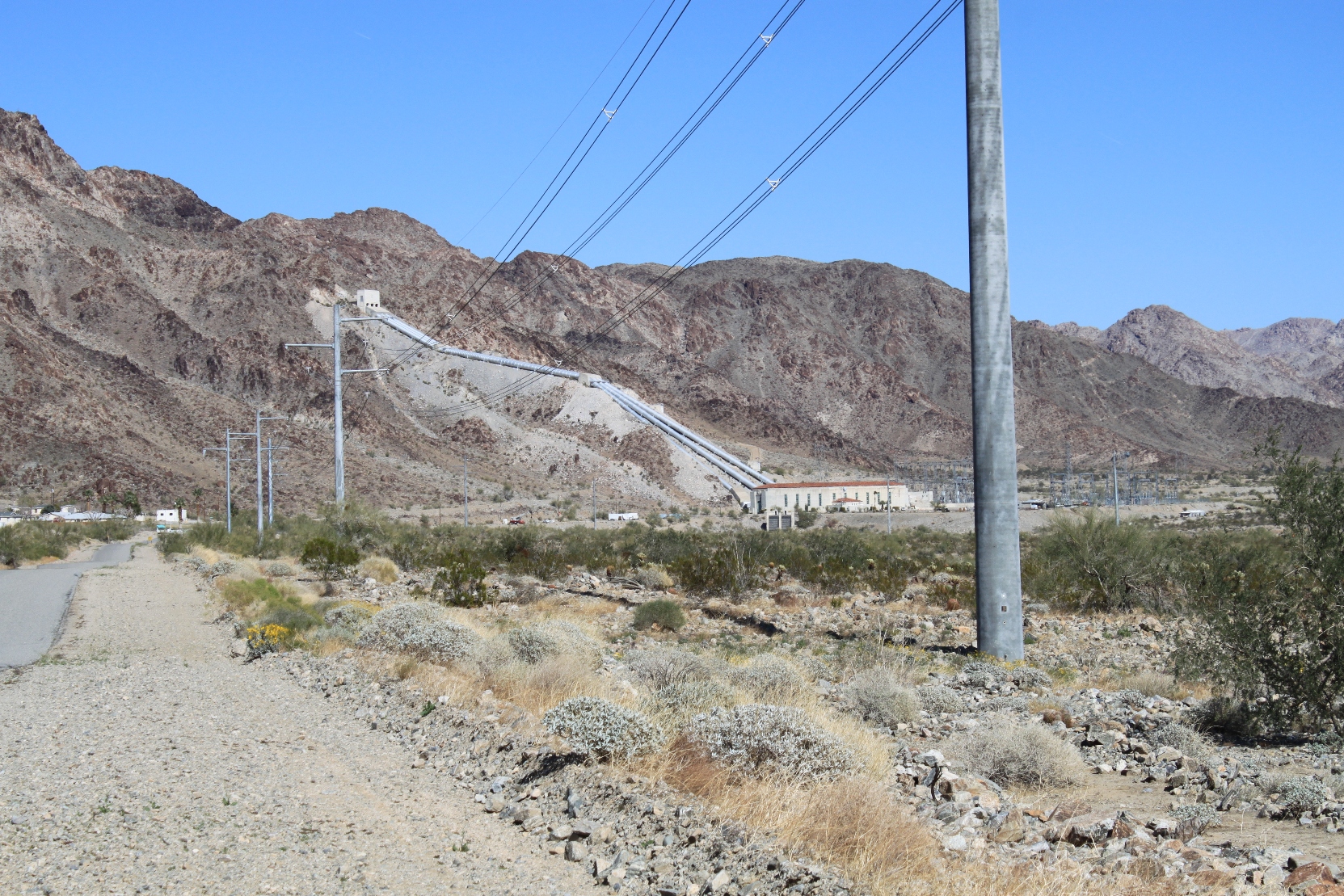
Afterwards, we headed over toward the Hinds Pumping Plant, but this was as close as I could get.
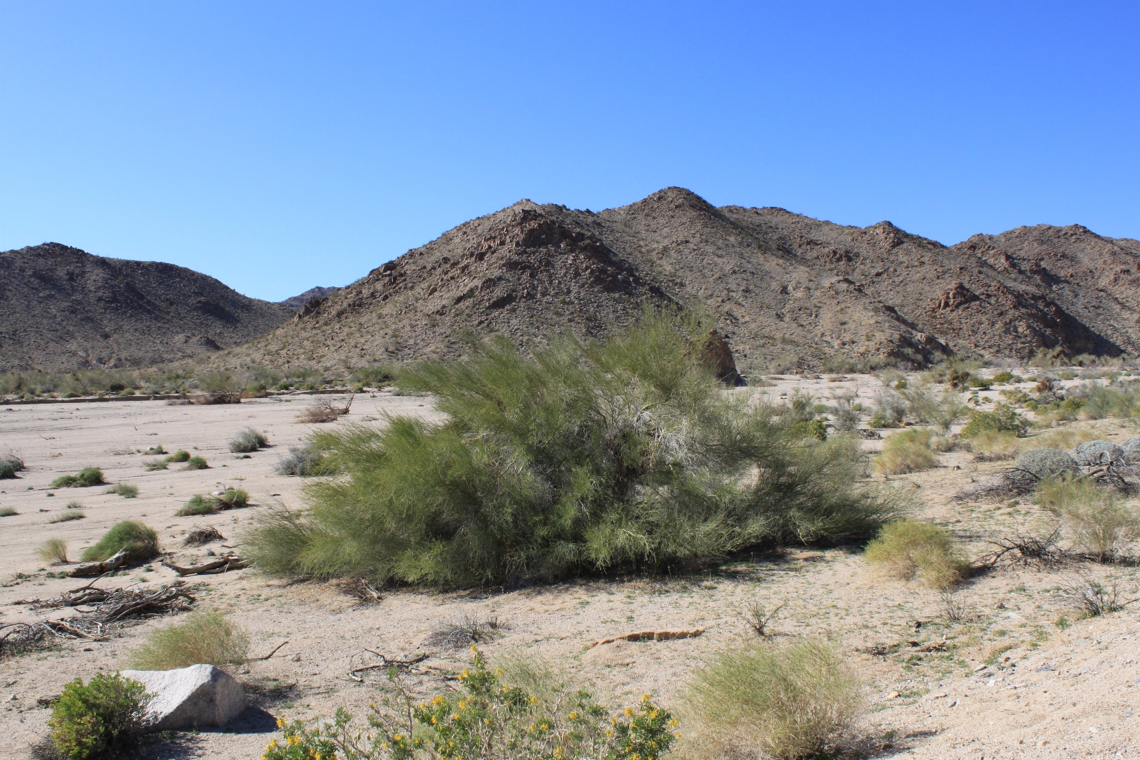
Having felt we had explored enough of the Colorado River Aqueduct, we headed over to Joshua Tree National Park …
… but our abnormally dry weather meant little wildflowers and as we drove further in, we found it, well … boring. And when a road trip becomes boring,isn’t there a rule that you must change course? Of course! And so, on a whim, we decided to head out to the Cadiz Valley to see what there is. The Cadiz Valley is a site of a controversial groundwater project, so it seemed like a good place to visit.
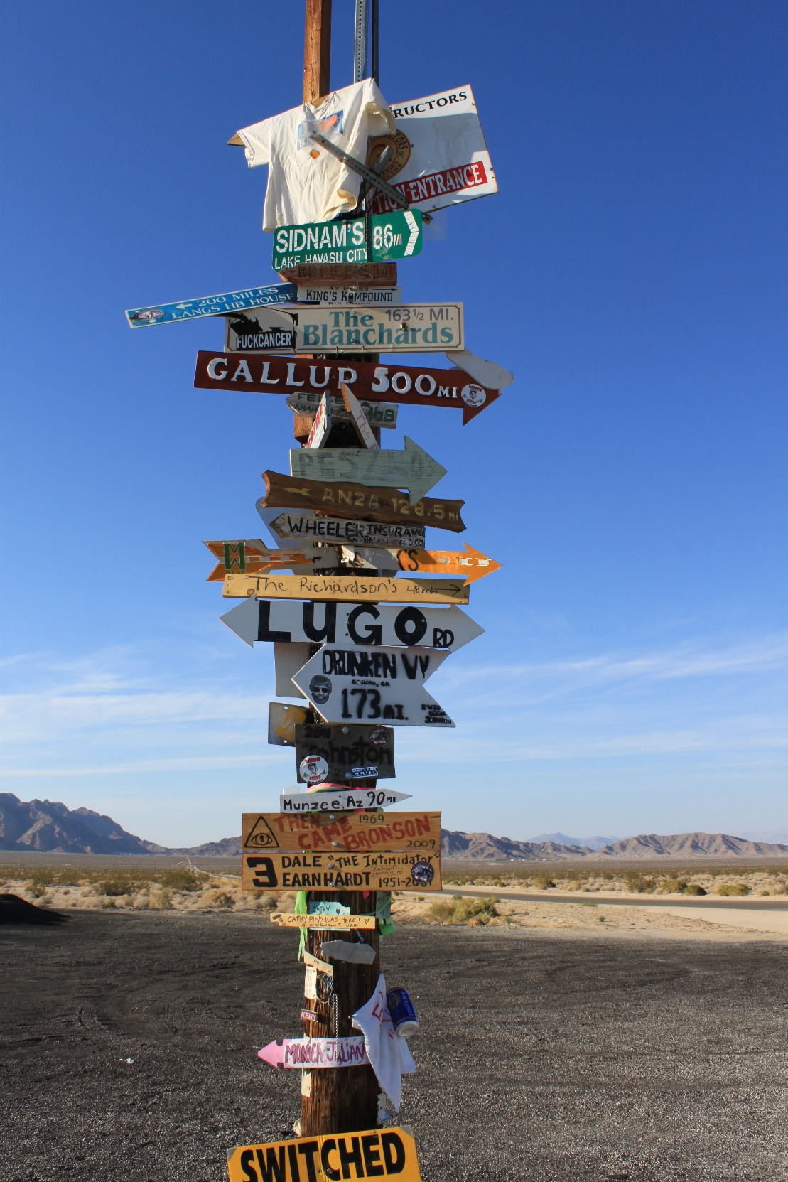
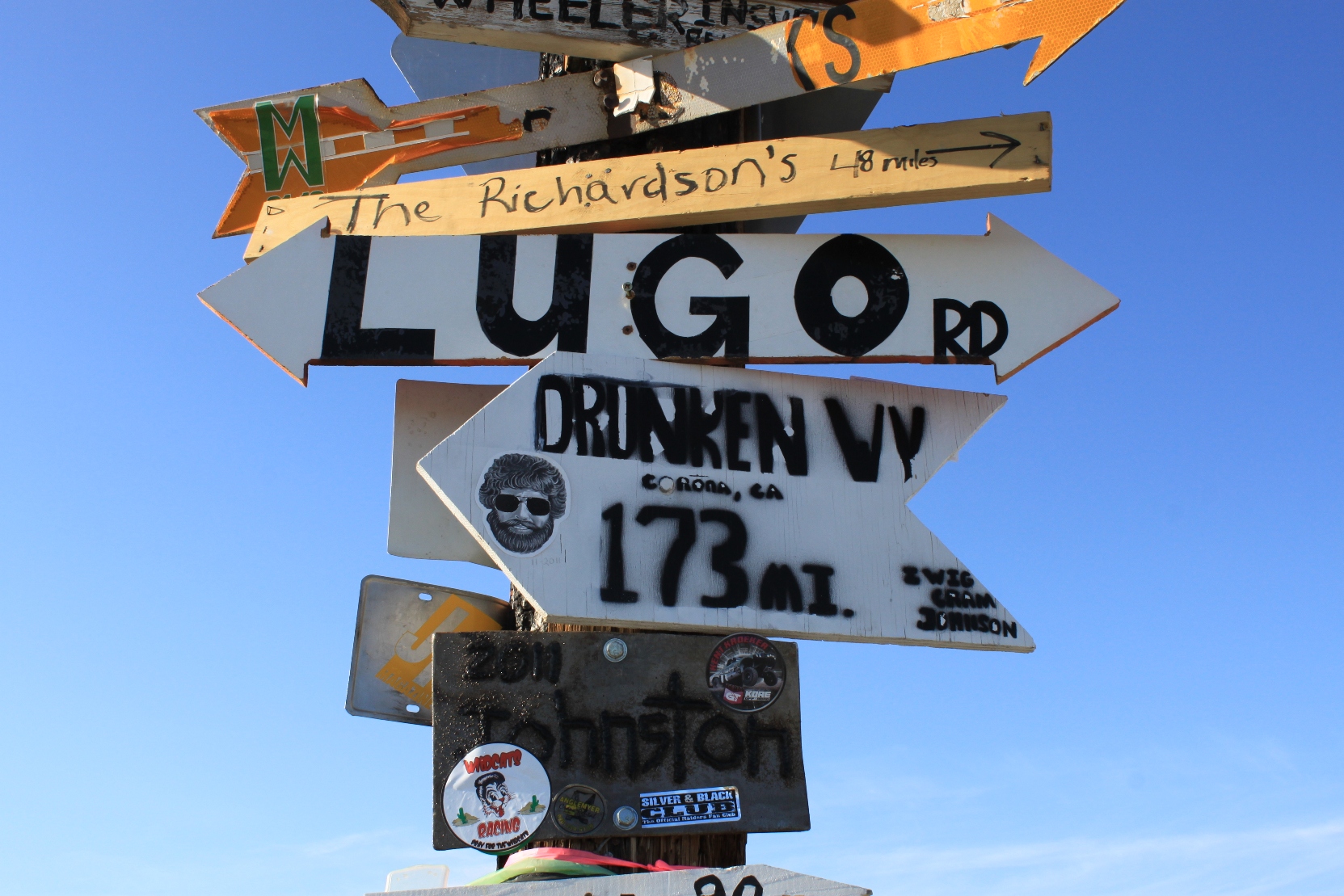
Along the way, we came across this desert signpost where people had tacked up signs of all kinds …
I am going to return here JUST to post my own sign for Maven!
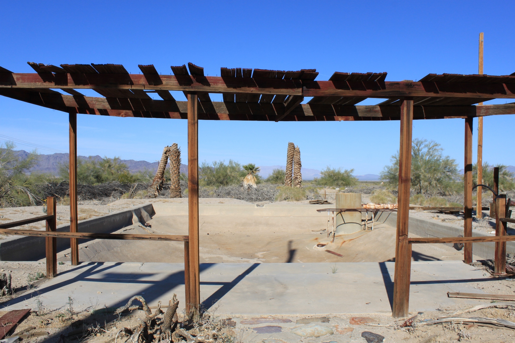
Further on down the road, we came across this failed irrigation enterprise – there were more than one along the way, I should add. With no water being brought in, these were groundwater farming operations that failed.
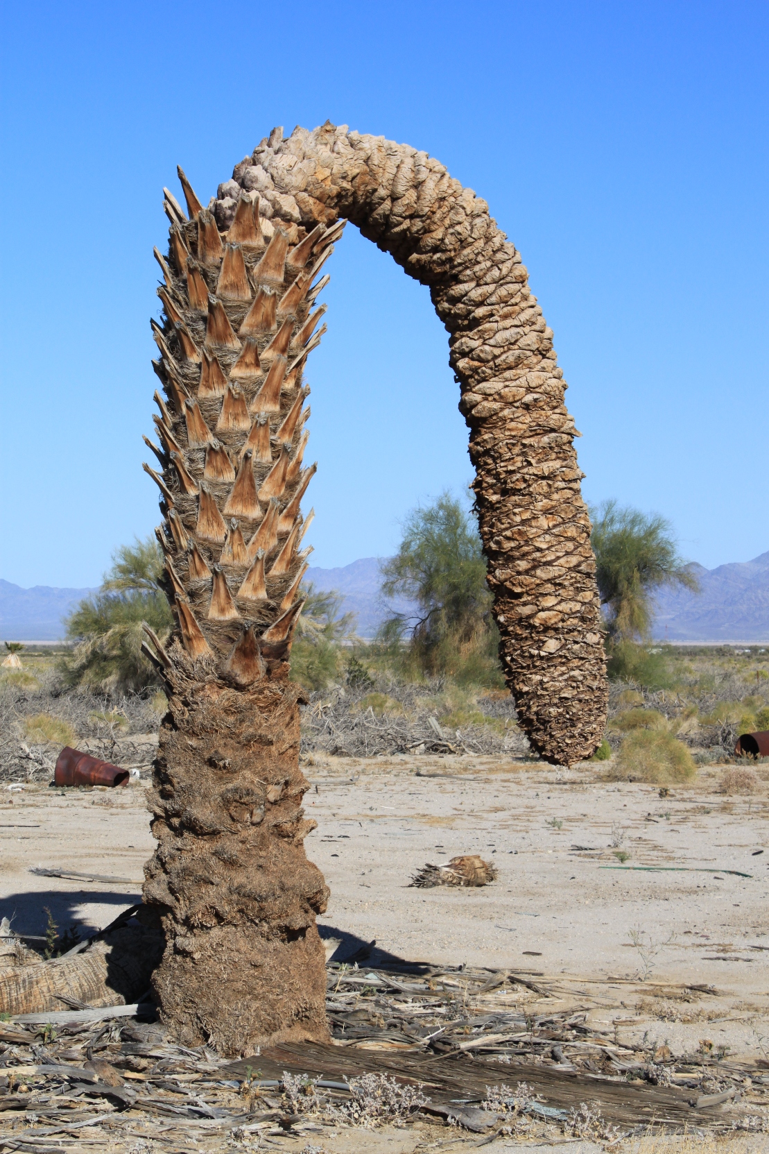
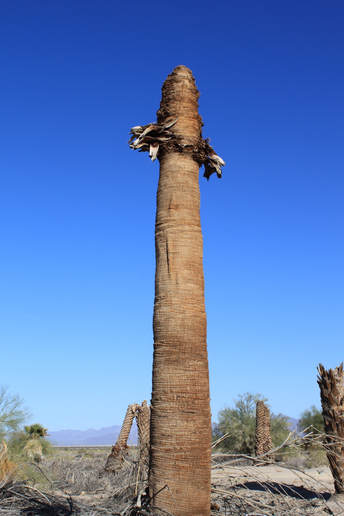
The most entertaining part of this top were the dead palm trees …
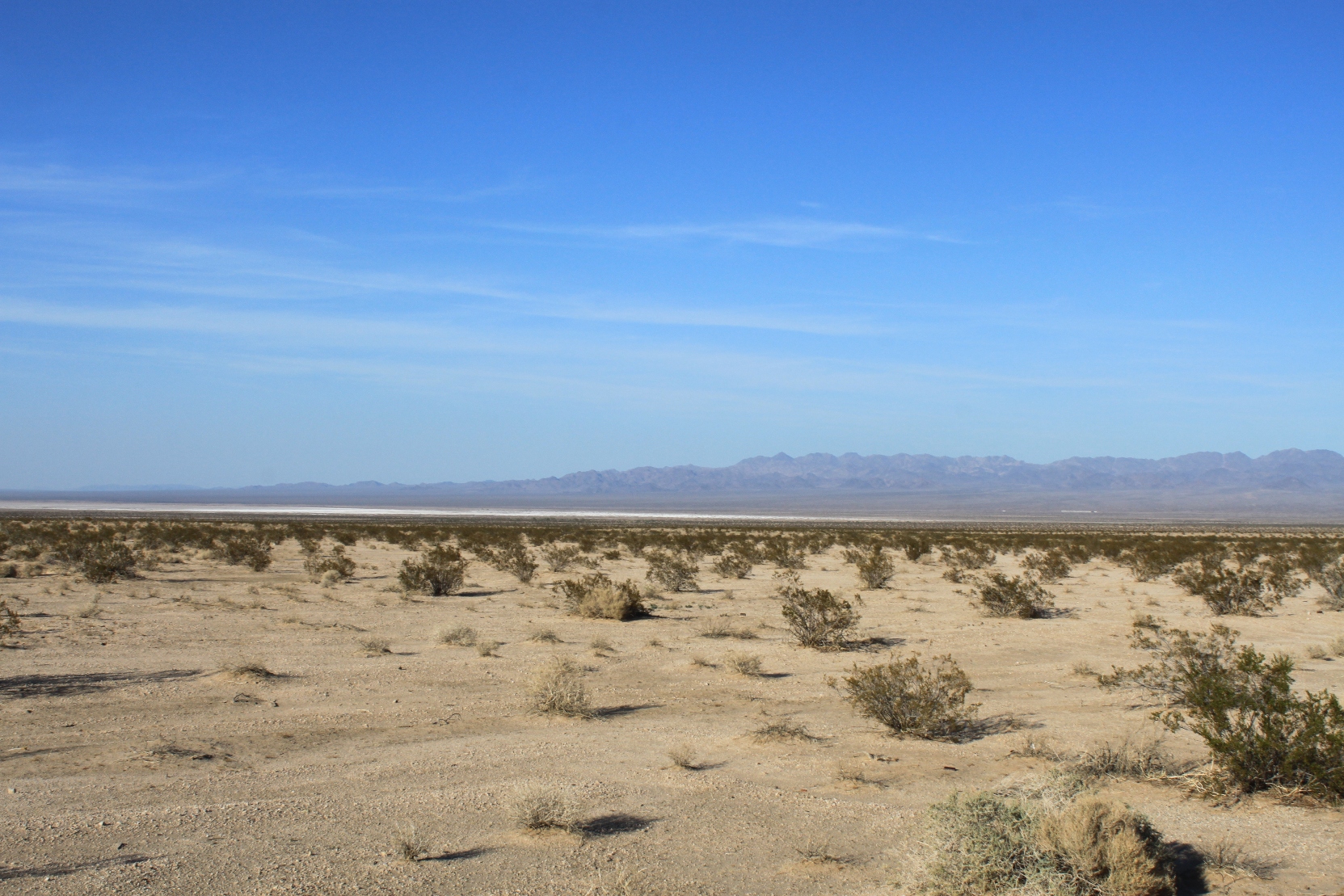
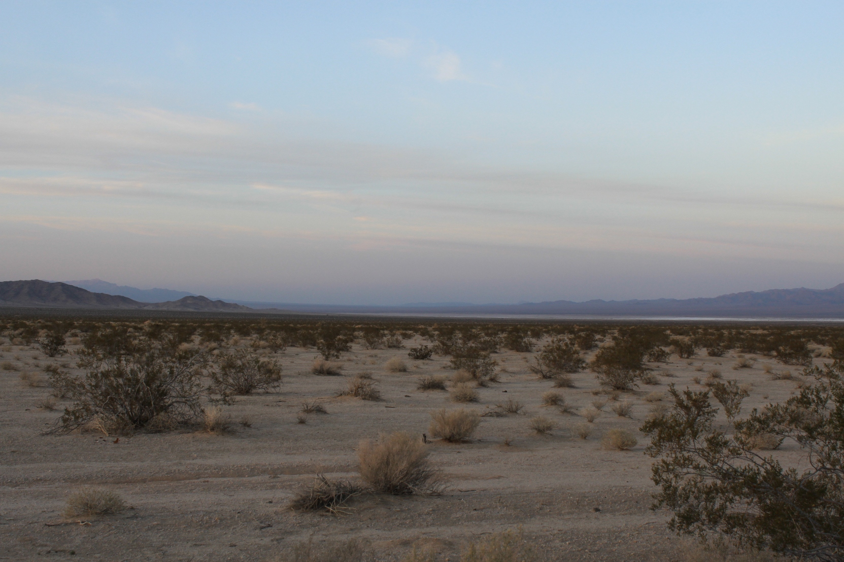
We finally arrived at the Cadiz Valley. It is a wide valley with a dry lake in the middle.
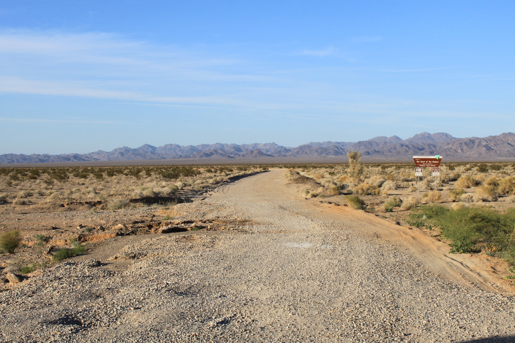
We found the road into the Cadiz Valley – and since this was spur of the moment and completely unreasearched and using Google maps (a known problem for desert roads), well, it turned out to be a dirt access road that follows the train tracks.
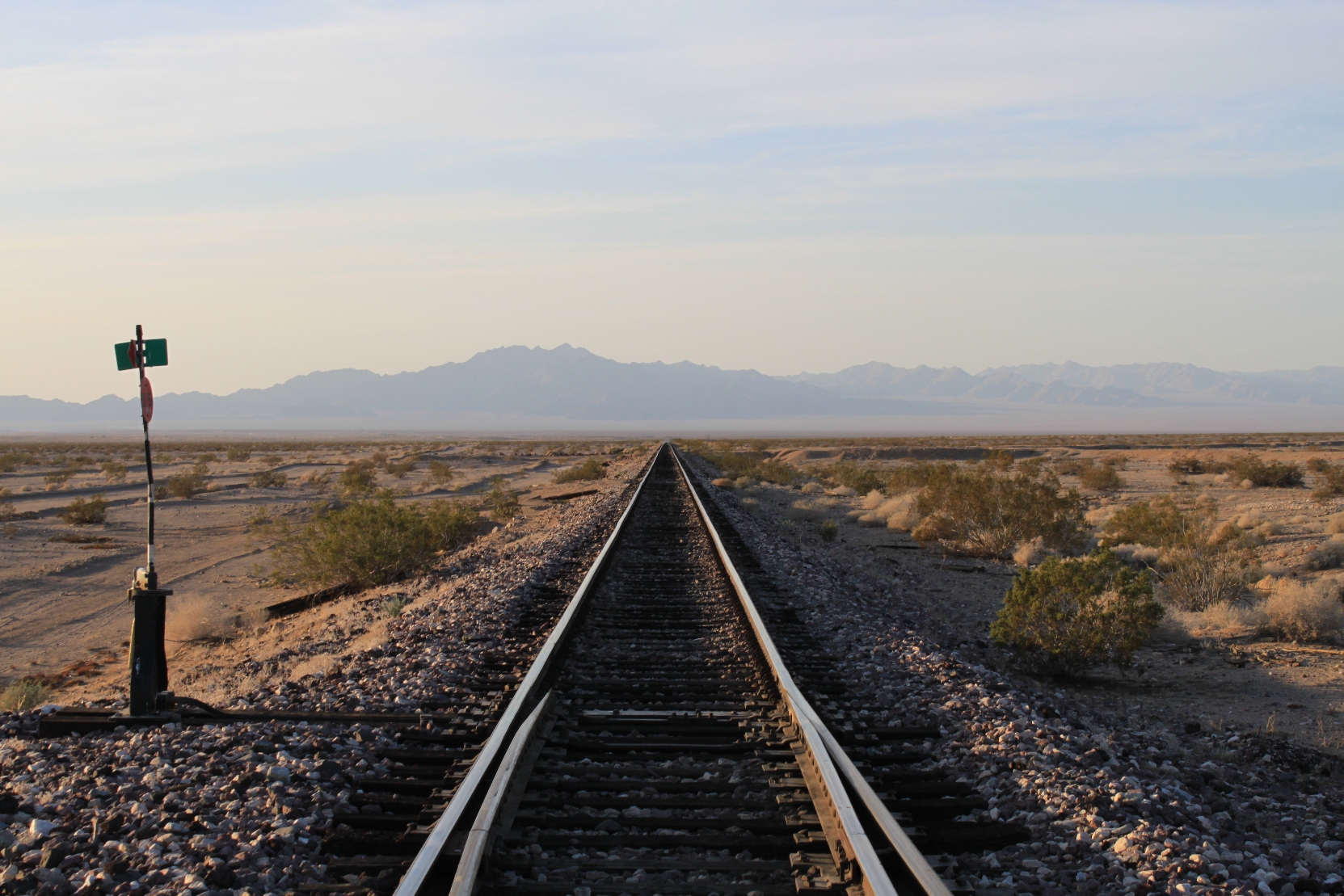
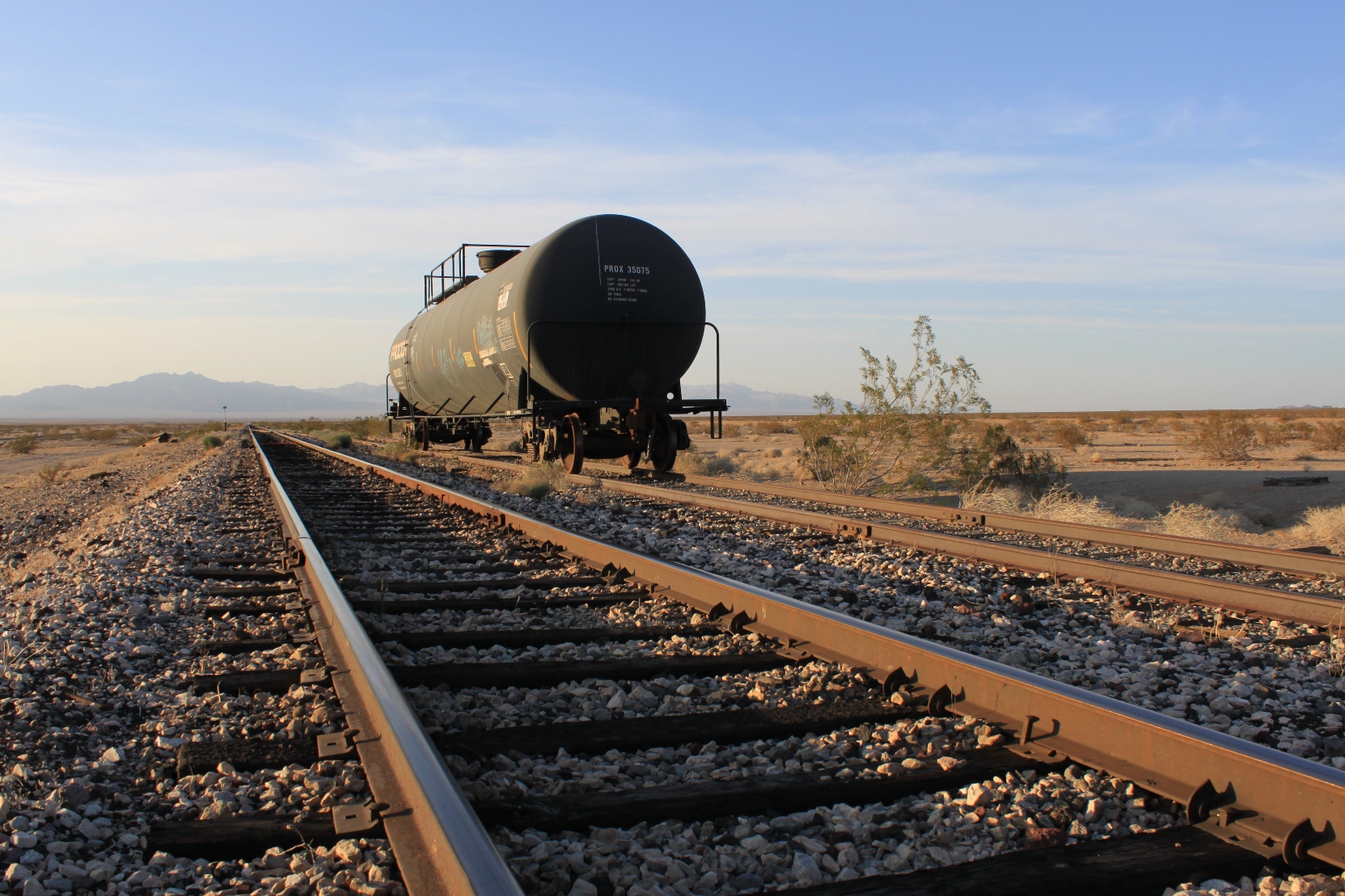
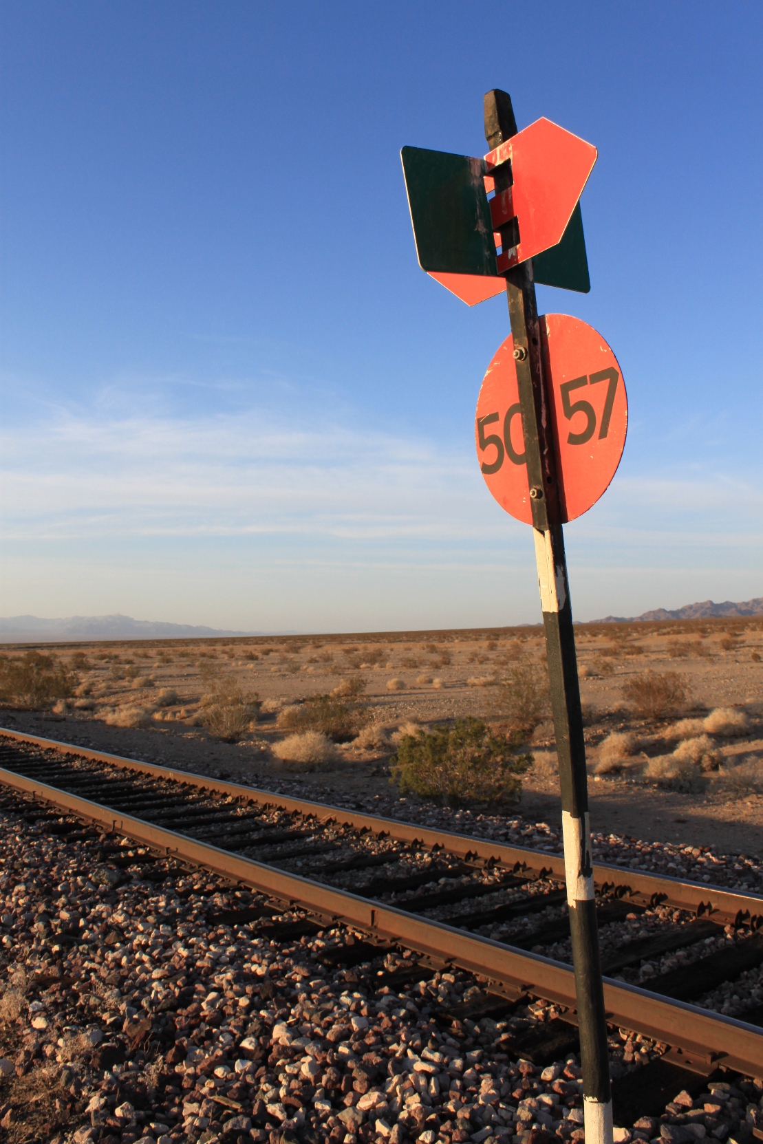
Finding the road well maintained, we ventured onward north into the valley, but it was clear that we would soon lose the light of day, so we stopped and I took these pictures along the railroad.
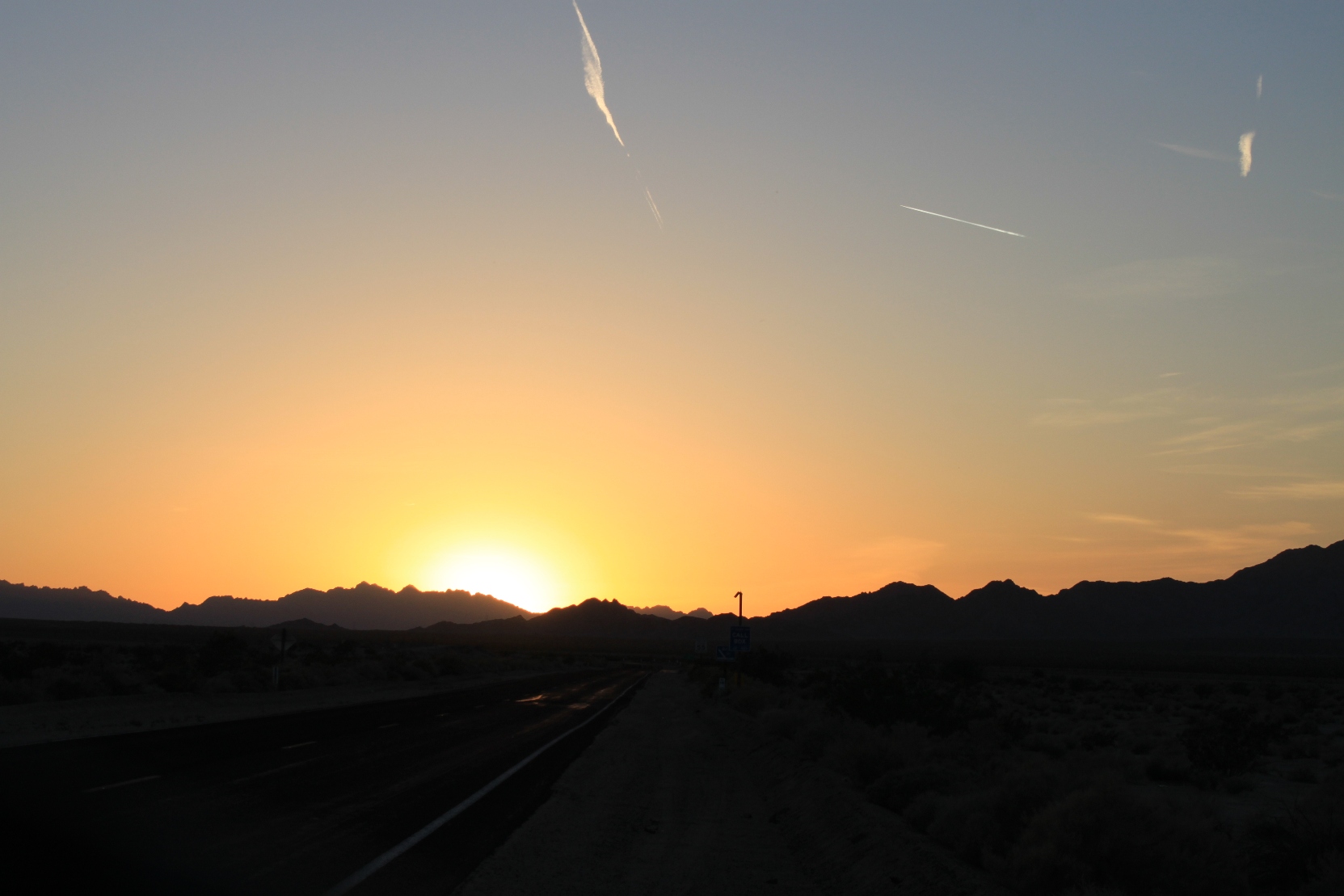
With dusk falling, we headed back the way we came and were soon back out on the highway. We stopped for one more shot of the Cadiz Valley at dusk …
And then it was time to head back towards home.
Thank You. Keep up the good work. It’s not surprising that security is watching. Nice that they aren’t too severe with visitors. That is a very critical water supply. Love the photos.