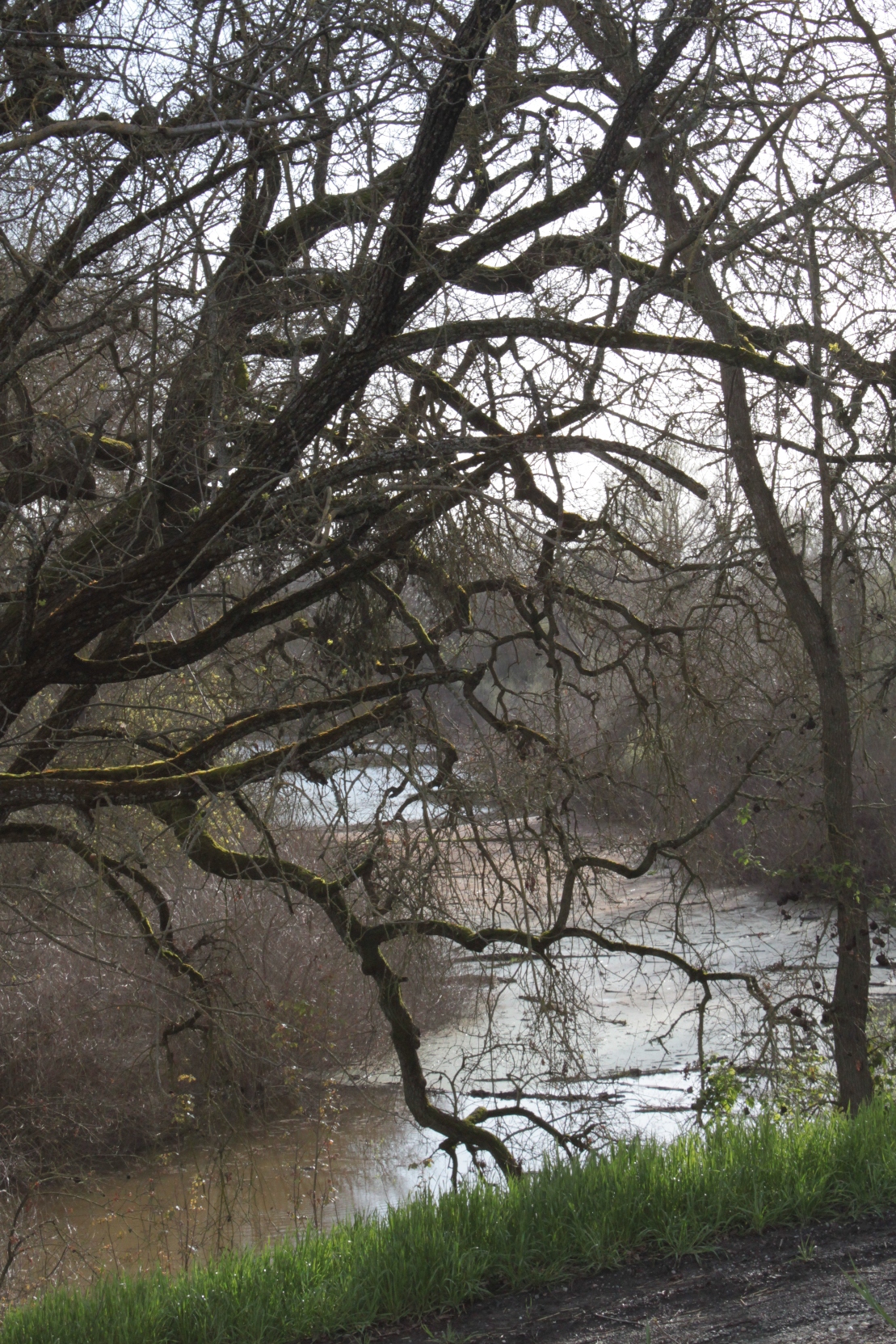
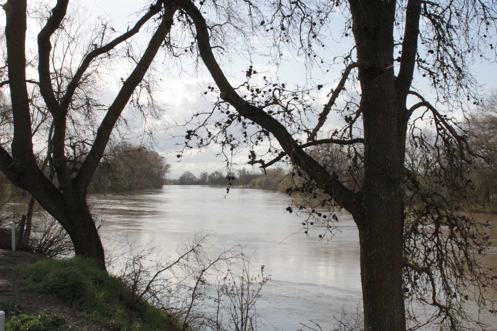
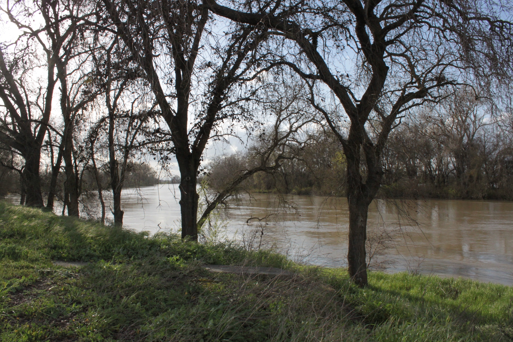
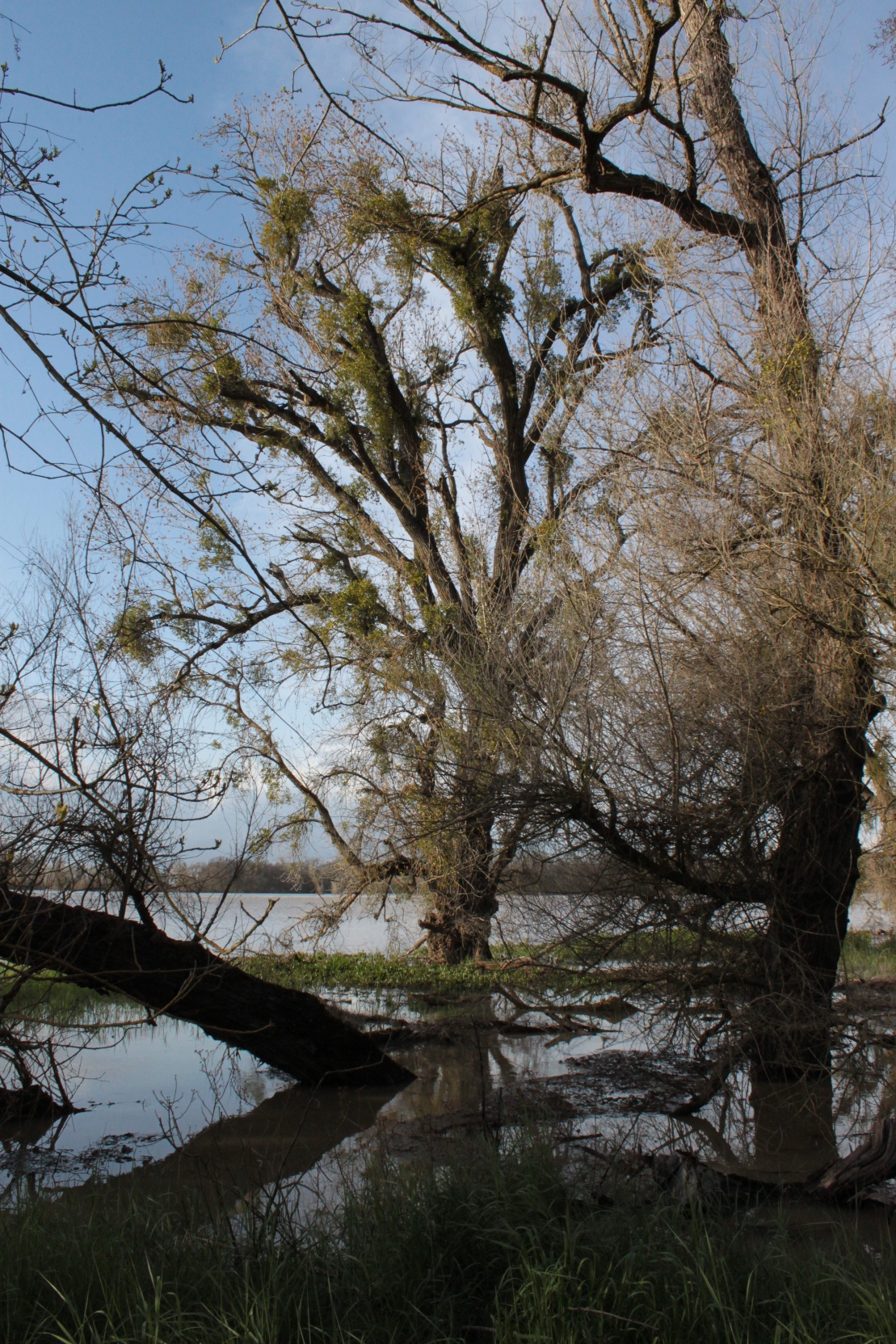
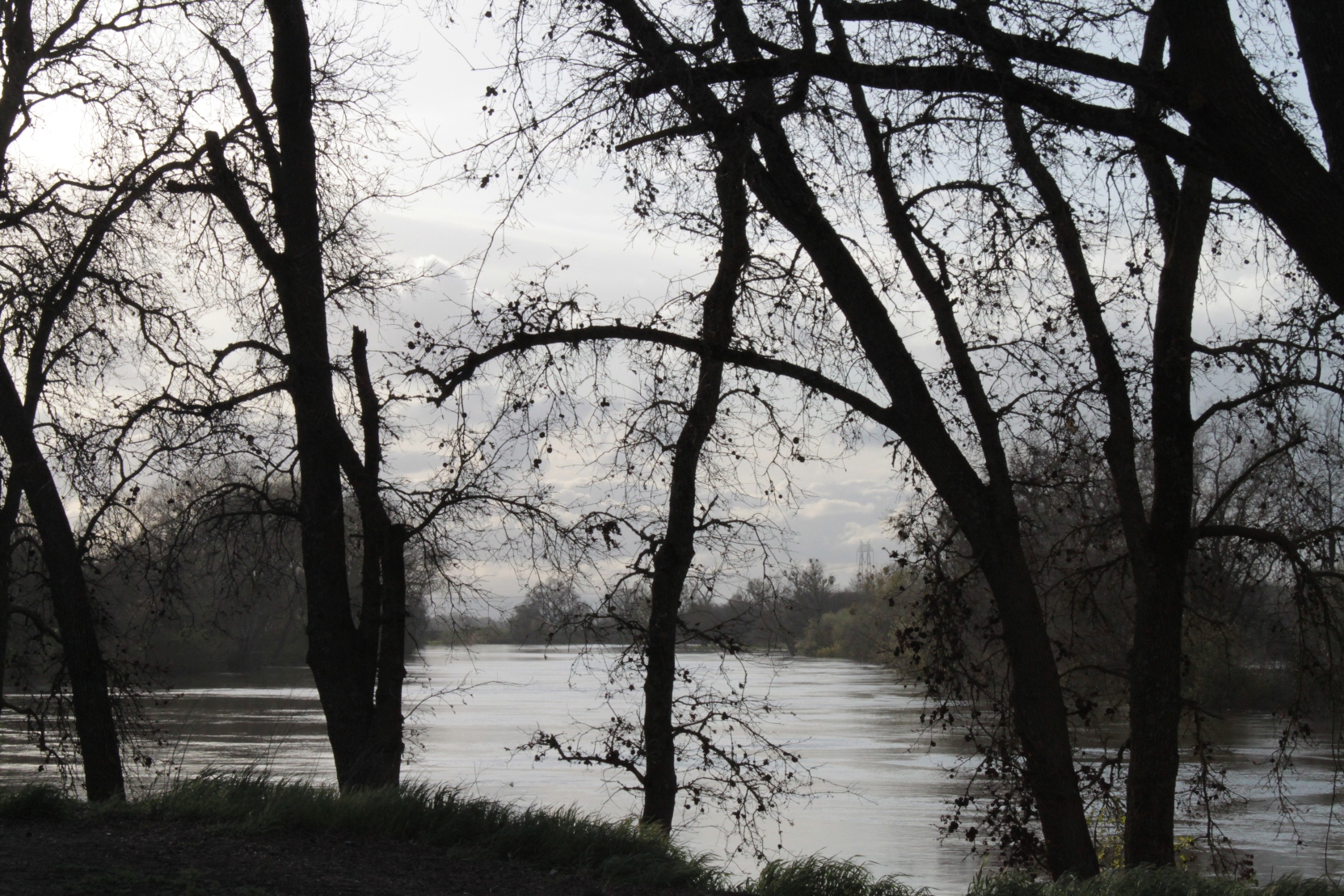
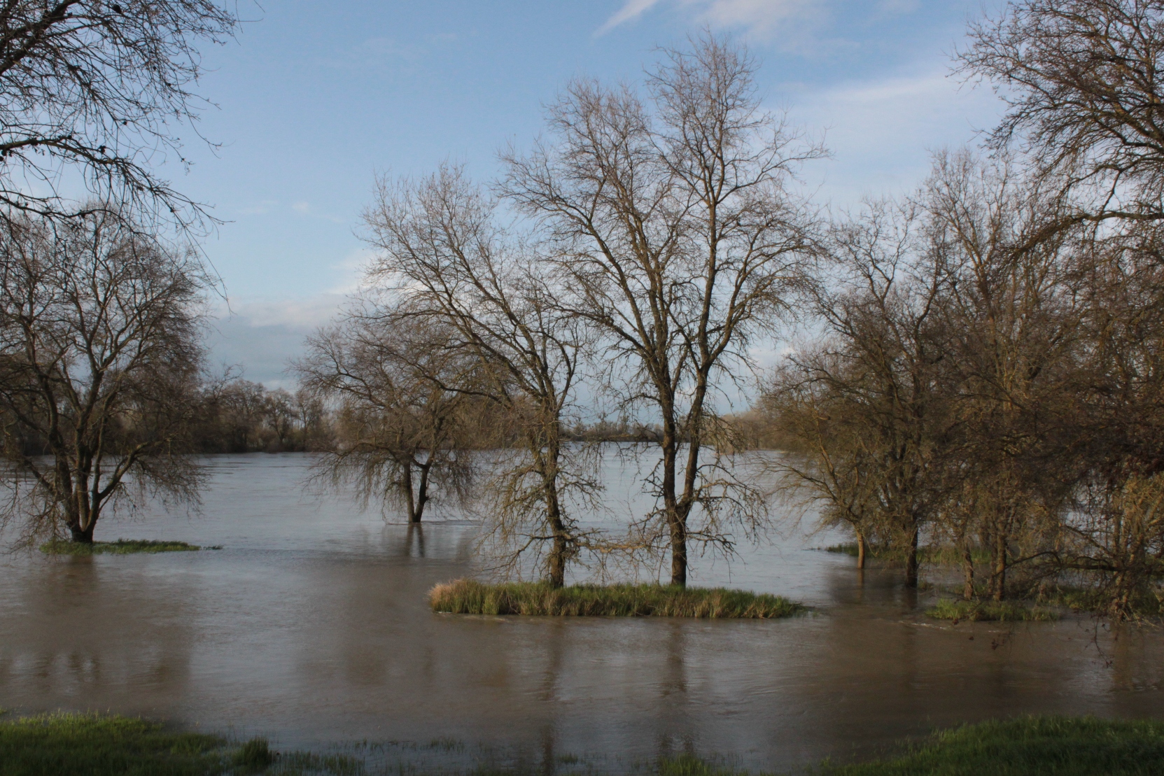
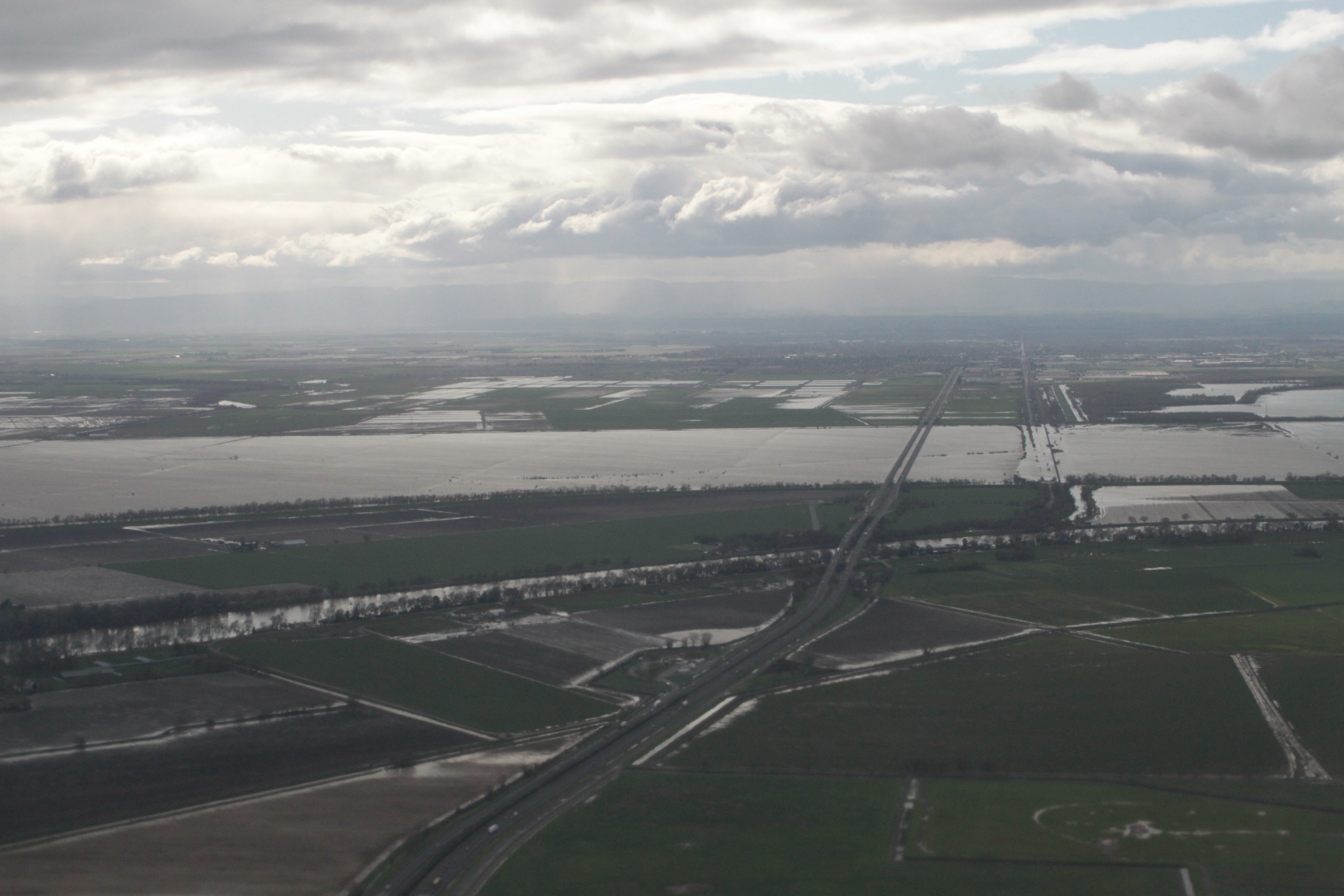
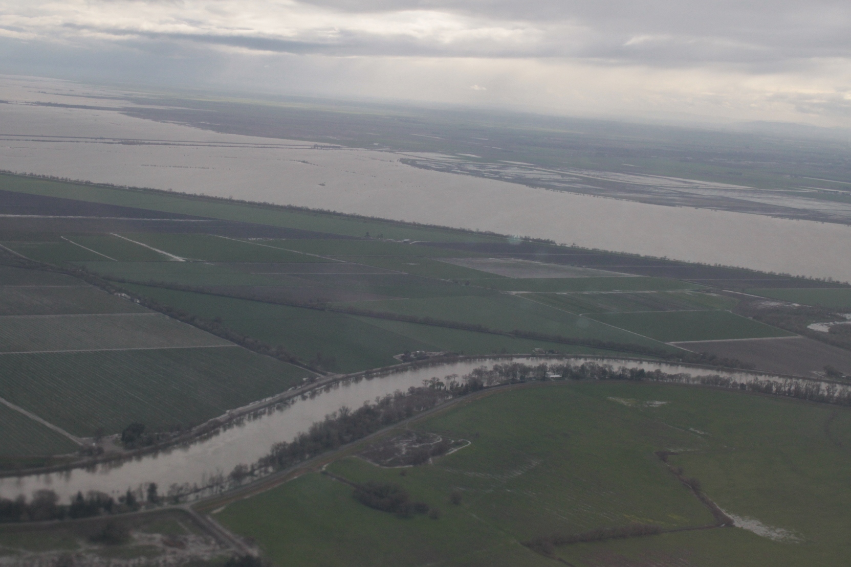
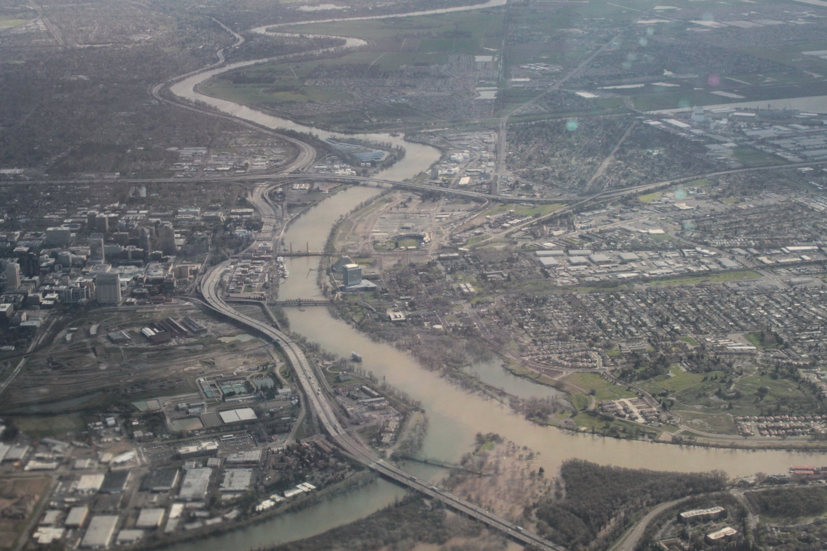
While in the process of labeling and cataloging my pictures, a task I am forever behind in, I came across the pictures that I took when TJ was kind enough to take me out there one rainy day while I was in Sacramento. It was March of 2011, and the river was raging, testing Sacramento’s flood control system. I did a post on the flood control system which I won’t go into again but you can see it here: Sacramento’s flood control system: Under pressure but holding up; these are just some of the other shots from the trip that I thought were interesting.
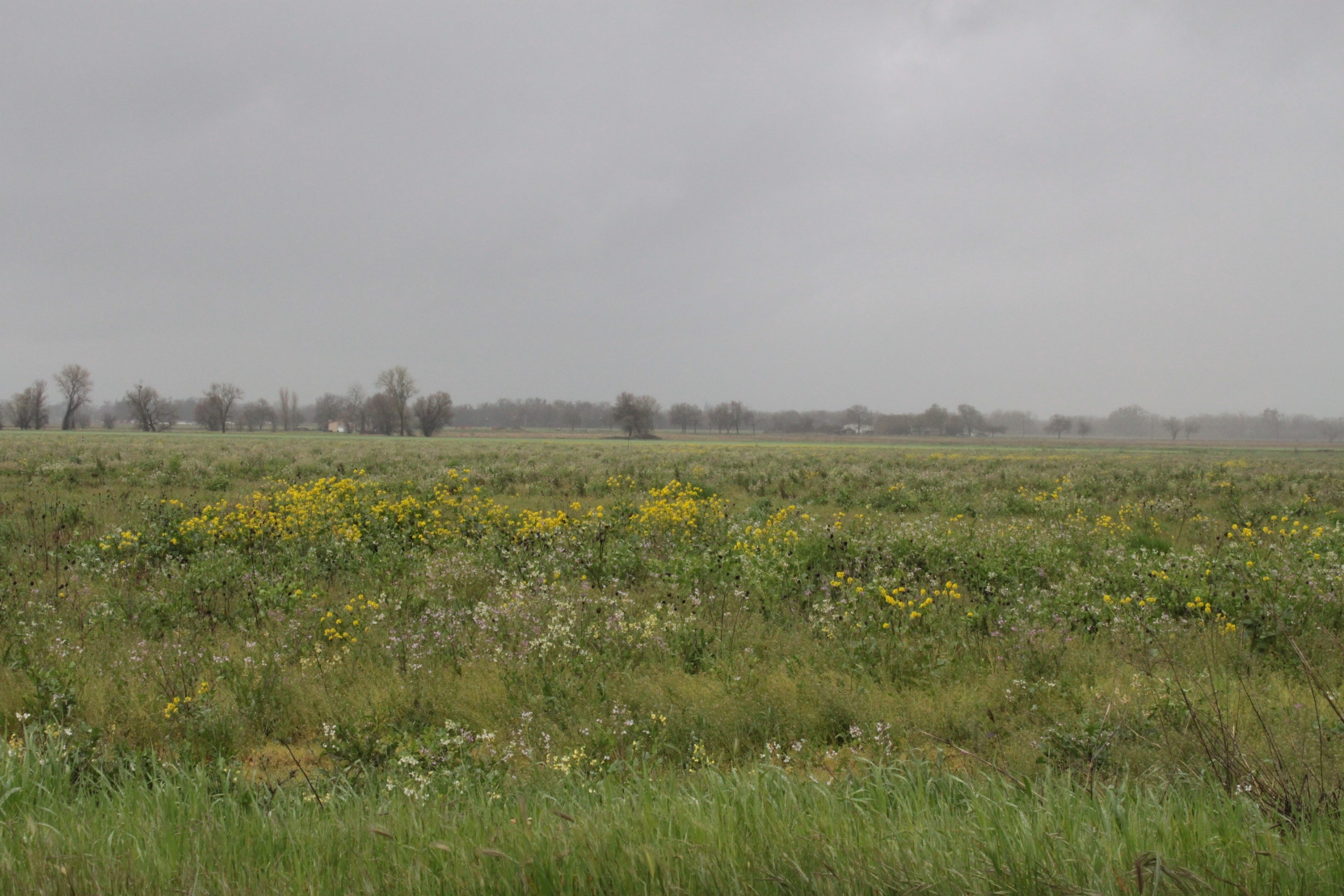
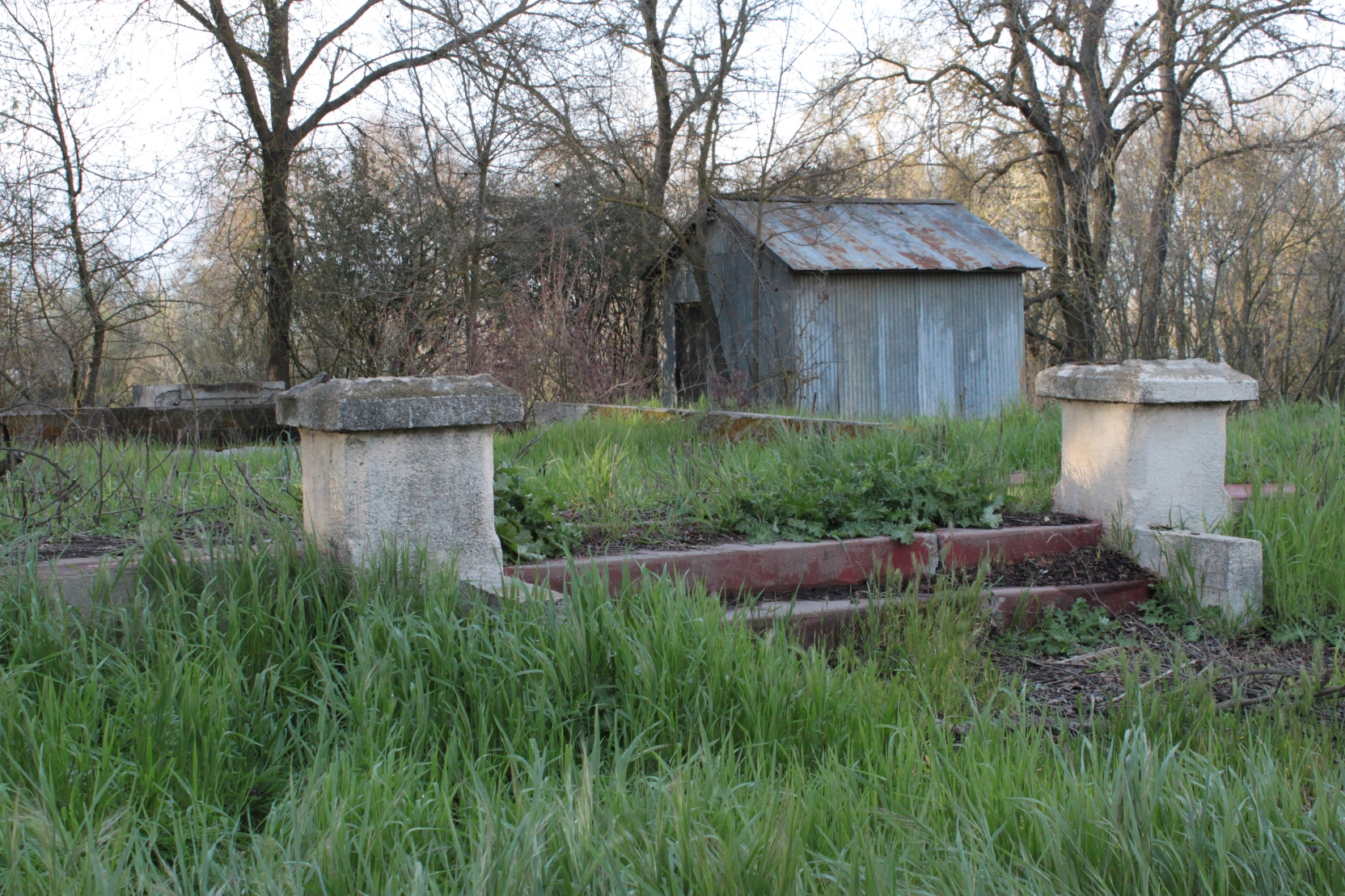
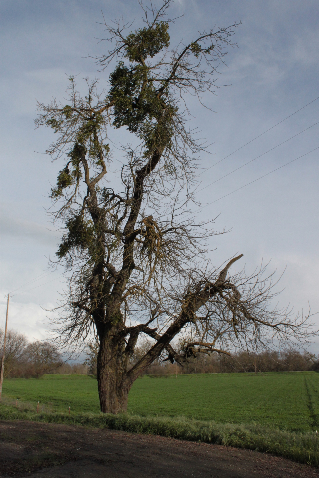
Here are some shots from the surrounding area …
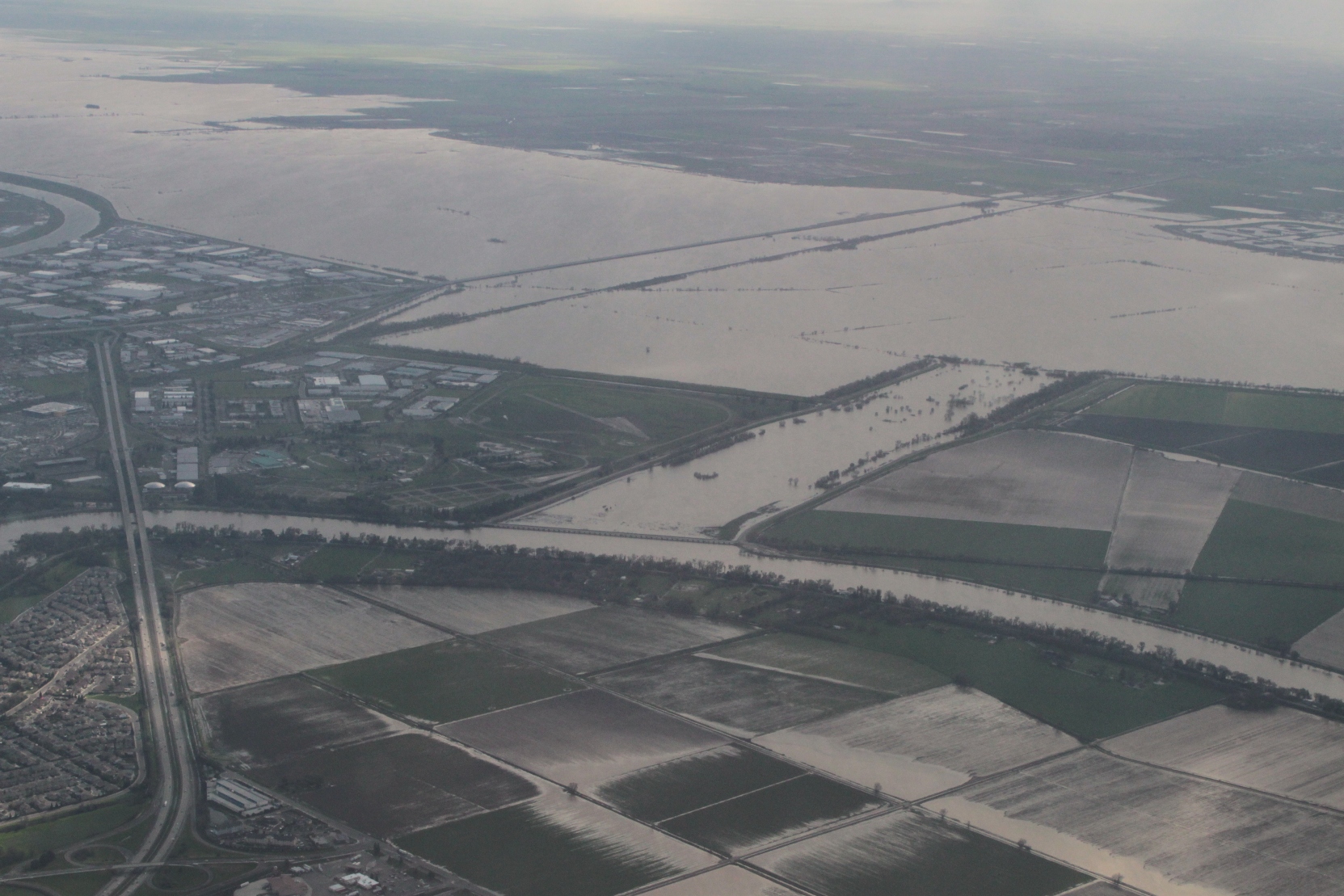
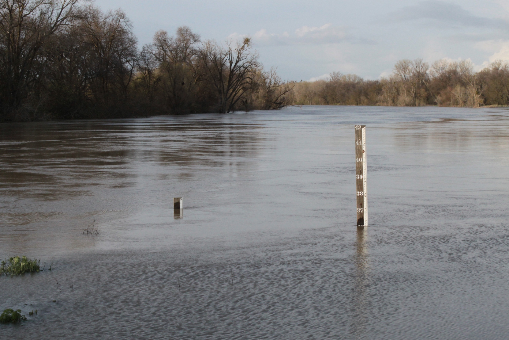
It’s an amazing amount of water – 36 feet deep and water everywhere ….
On the ground, it’s hard to get a sense of how much water was flowing down the flood bypass. Once up in the air for the flight home, however, the amount of water was astonishing. (The flood bypass is the big river towards the top of the screen; the little windy waterway towards the bottom is the river’s usual channel.)
