I have been traveling and photographing California water infrastructure since about 2007, when I started my first water blog. My children literally grew up being dragged across the desert in search of some aqueduct or other piece of infrastructure.
So in this next series of posts, I’ll tell you where you can get the best pictures of California water infrastructure, starting with the State Water Project – those that can be photographed by the general public, as well as note what things you can’t – so you can begin to amass your own collection of California water infrastructure photographs.
STATE WATER PROJECT
The State Water Project starts at Oroville Dam, with water flowing from the dam down the Feather River to join with the Sacramento River to flow into the Delta. From there, the water is drawn from the Delta and placed into the California Aqueduct for delivery to areas south of the Delta. (Click here for an overview of the State Water Project.)
You can easily get pictures of Oroville Dam and the Feather River by simply visiting them. However, the symbol of the State Water Project is really the 444 mile California Aqueduct.
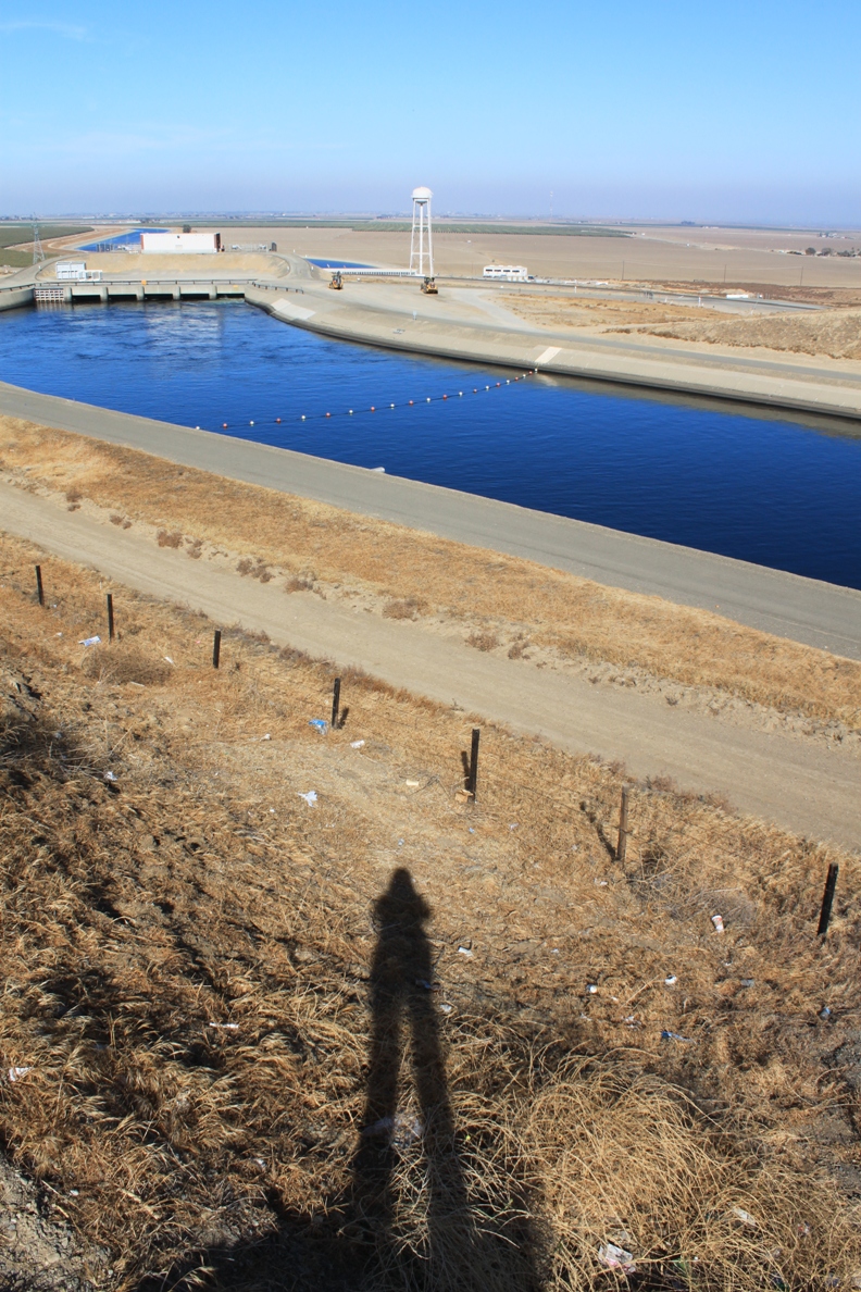
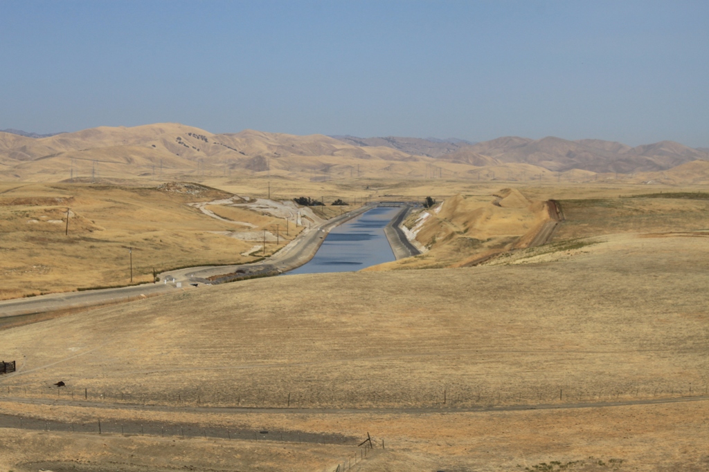
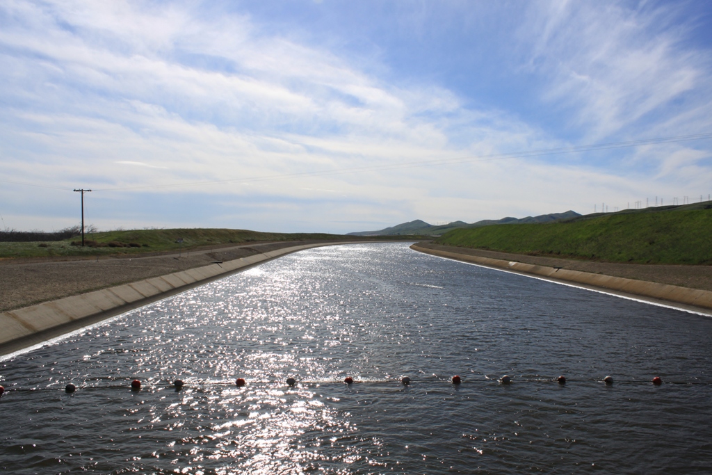
Newman vista point, traveling south on I-5 …
When traveling south from Sacramento on the I-5, stop at the vista point just south of Newman. There you will find two different shots of the California Aqueduct. This one looking south …
 And this one looking north …
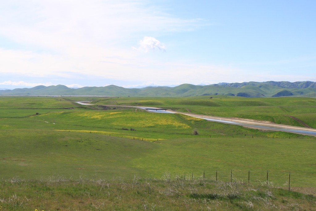
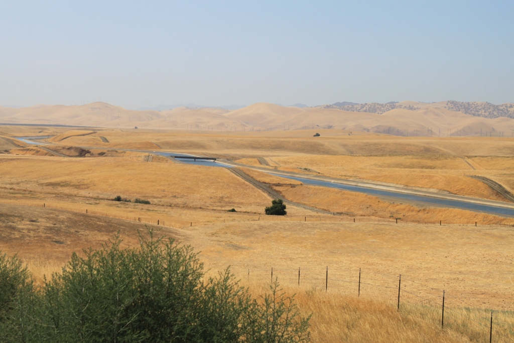
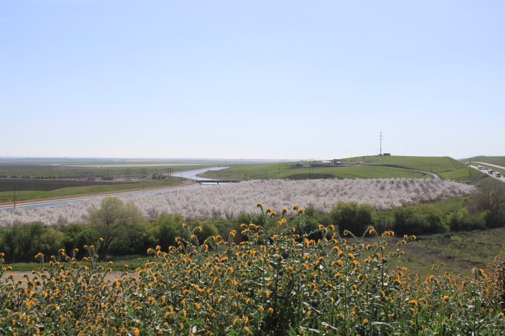
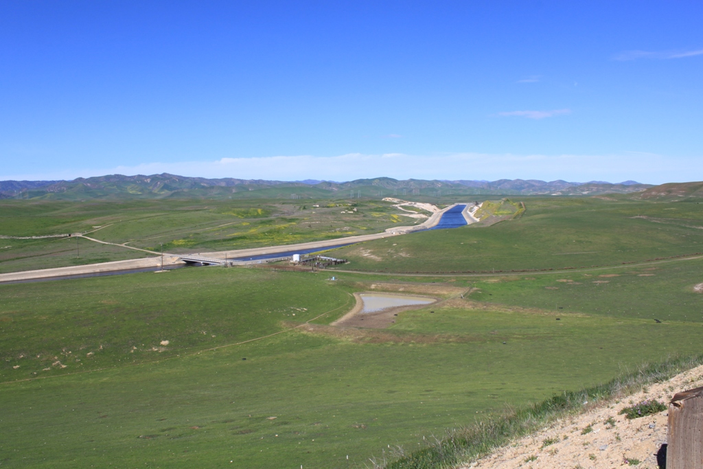 Now those two pictures above were taken in the early spring. Travel later in the year, such as late summer, and you’ll get shots like this:
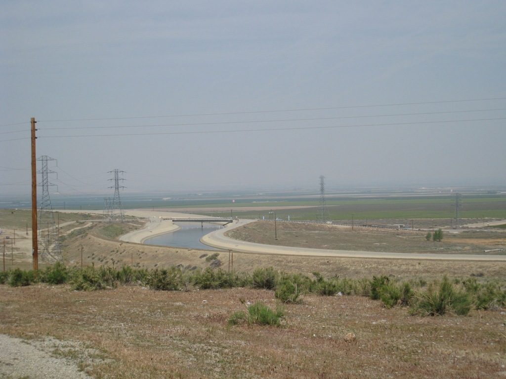
The Dos Amigos vista point, traveling north on the I-5 …
Just south of Los Banos is the vista point at Dos Amigos. You will definitely want this classic shot for your collection:

The nameless vista point further north …
Further north on the I-5, the vista point just south of Patterson will give you another classic shot of the California Aqueduct winding through agricultural lands …
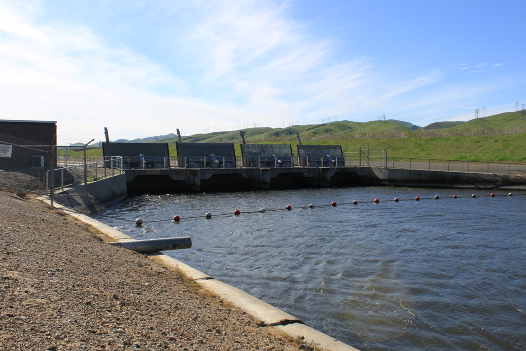
The gates at O’Niell Forebay
Around Los Banos, you can get an interesting shot of these gates on the California Aqueduct. Exit I-5 at Santa Nella Road and head south on State Route 33 and it won’t be long before you come to these gates. Hopefully they are open for you …

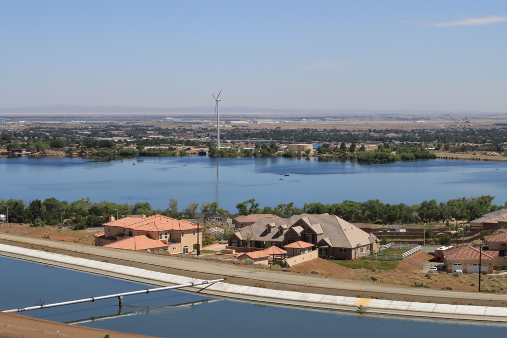
Southern San Joaquin Valley State Water Project Facilities …
The Chrisman Wind Gap facility in the southern San Joaquin Valley is the most visible picture of the aqueduct going over the Tehachapis. The lift at Chrisman Wind Gap is only about 800 feet – far less than the 2100 feet at Edmonston, but those pipes are buried. (See: What not to bother with section, down below)
For the best picture of this facility (in my opinion), exit on State Route 166; head west. Turn left at first street (excluding any roadside businesses). You will be heading south toward the Tehachapis. At the fork in the road, stay to the left; do not bother with the road that says “Locked Gate”; it’s not kidding. Continue along the road; it will veer towards the left and you will eventually be heading east. Continue past the first left; take the second left, heading north. Continue until you come to an overpass at the I-5. Turn around, and the shot you will have is something like this …
 You can get height from shooting off the overpass, or more grapevines in the foreground. You may also be able to get closer to the facility, but I have found I like this shot the best as I like the grapevines in the foreground, which serve to camouflage the facility buildings.
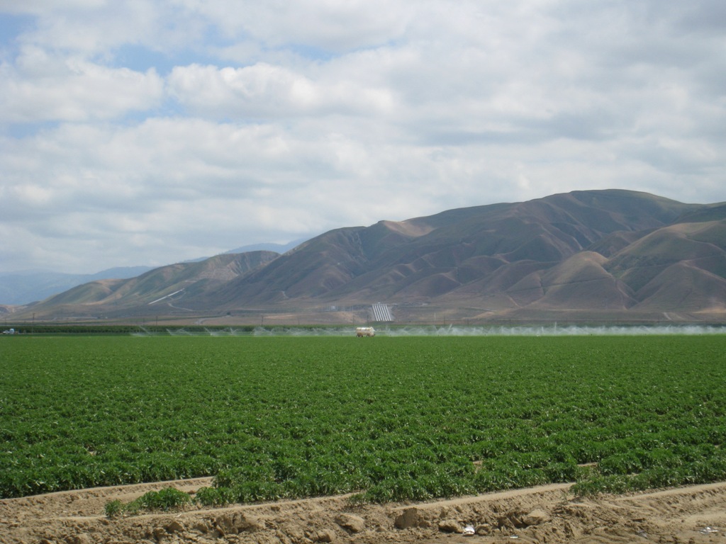
As you are traveling down this road, you are up somewhat in the valley foothills, so there is potential to take a picture of the aqueduct with an agricultural vista in the background – valley air quality cooperating, which isn’t too often …
 Also along this road, you will pass the Teerink facility. It’s behind a locked gate, so there aren’t a lot of ways to set up the shot here …
 For a more interesting shot, I suggest returning to Route 166 and heading west, and you can have a shot like this …
California Aqueduct through the San Joaquin Valley
The California Aqueduct parallels I-5 for much of the San Joaquin Valley, so there are ample opportunities to photograph it as you travel the roadway. One of the better places (in my opinion) is off the Howard Road Exit, just north of Patterson. Here you can get some nice shots of the California Aqueduct, as well as the federal Delta Mendota Canal (part of the federal Central Valley Project). There is also opportunity for good agricultural shots in this area if you care to explore.
At the Howard Road exit, head east off the exit (it’s really the only direction to go) and left at the stop sign. Travel down this road (McCracken Road) and turn left on Hamilton Road. Along both of these roads, you will have the opportunity to photograph both aqueducts. The Delta Mendota Canal (pictured below) is the eastern-most aqueduct …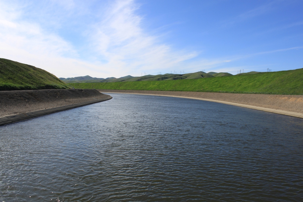 The western-most canal is the California Aqueduct. They are easy to tell apart as they are constructed differently.
 It was also somewhere around this area that I found this check gate on the California Aqueduct …
California Aqueduct through the desert
The Eastern Branch of the California Aqueduct is easily accessible at several points through the Antelope Valley. There are access points for fishing throughout, as fishing stripers out of the Aqueduct is quite normal, as Striper Bill will tell you.
Here is the East Branch of the California Aqueduct at around Neenach:
 If you are traveling east on State Route 14, the road from Los Angeles to Palmdale, you can snap this shot (below) at the vista point, just east of the Pearblossom Highway (Continue down Pearblossom Highway for more shots of the California Aqueduct crossing the desert.)
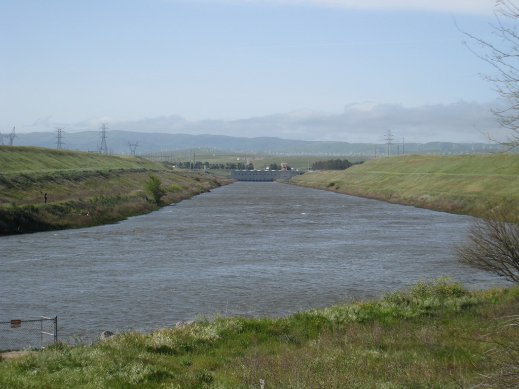
Devil Canyon Power Plant
The penstocks into this power plant coming from Lake Silverwood in the mountains above make a stunning drop down the mountainside at this San Bernardino facility. I have yet to snap a great shot of this facility; going through my pictures for this post reminds me of this unfinished business. So if you’re up for a challenge, search Devil Canyon Power Plant on Google Maps and give it a try …

State Water Project facilities not to bother with …
Harvey Banks Pumping Plant (Delta): These facilities are far beyond locked gates. The only way you can get a picture is to get in on a tour.
Consolation prize: You can see the Central Valley Project pumping facilities from Highway 4. It’s pretty much the only shot of south Delta infrastructure you’ll be able to shoot. It looks like this … you be the judge if it’s worth the time.
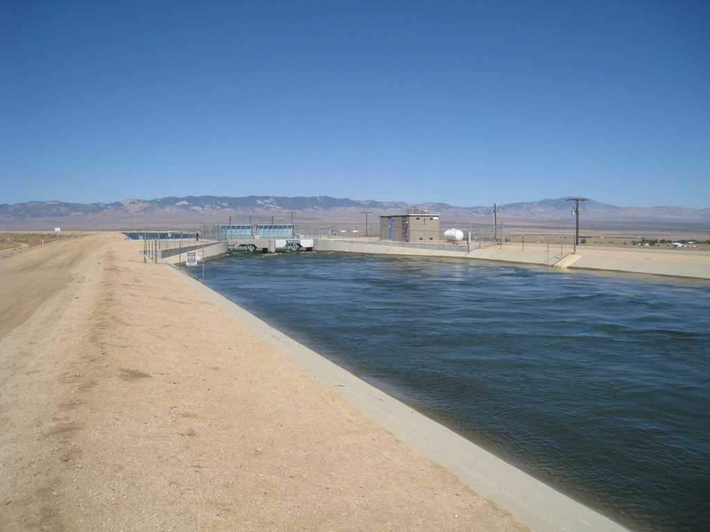
Edmonston Pumping Plant: The largest lift on the State Water Project runs in a buried pipeline, and the facility is along a private road in the southern San Joaquin Valley. Don’t bother – go photograph the Chrisman Wind Gap facility instead. (Side note: I did get to tour the Edmonston facility once; check out my photoblog post on the facility here.)
For more information …
For more on the State Water Project, click here. And to learn more about all of California’s water infrastructure systems, click here.
Coming up next: Where to get the best pictures of the Los Angeles Aqueduct.
So long from along the aqueduct!